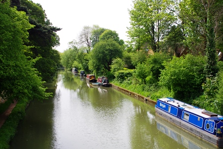
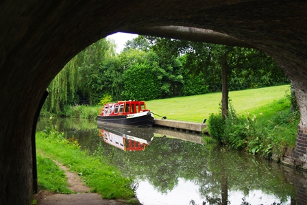
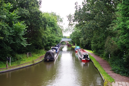
It’s 153 miles from London to Birmingham on this canal and there are several side branches to explore too. The first section from London to Hemel Hempstead is described in my London Waterways blog. Although it’s not quite where the Midlands starts, I had to make a break somewhere!
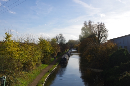
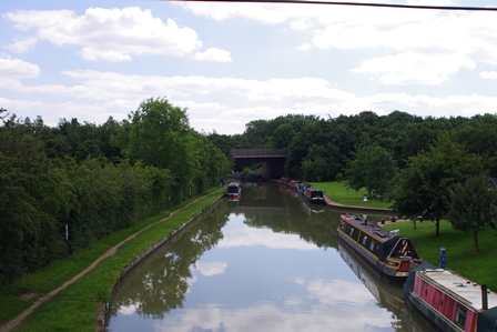
Hemel Hempstead to Cow Roast – 6 February 2019 (7 miles)
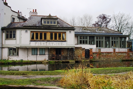
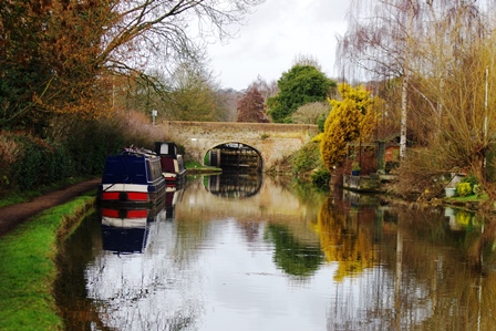
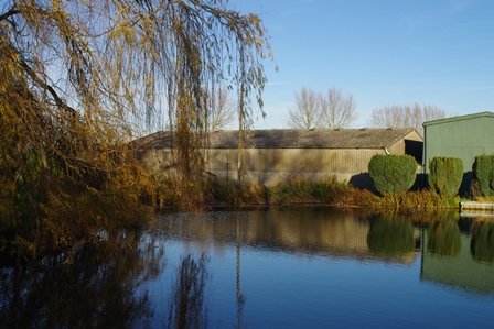
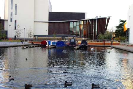
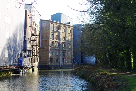
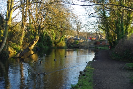
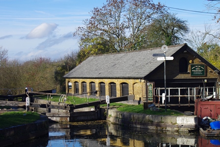
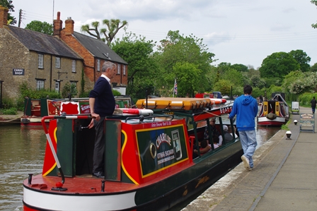
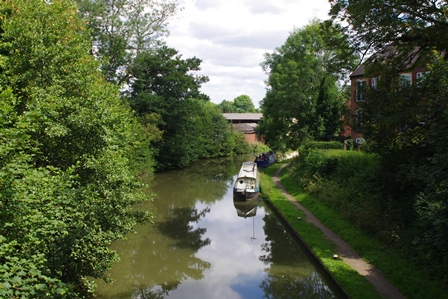
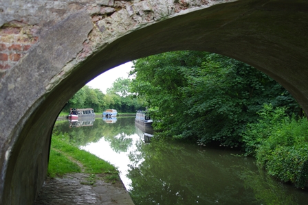
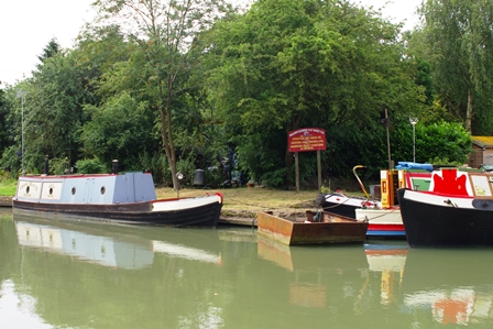
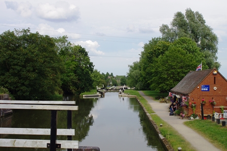
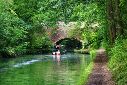
I took a train from Euston to Hemel Hempstead and the canal is just across the meadow in front of the station. There’s the Fishery Inn, Fishery Lock (number 63) and Fishery Wharf Cafe.
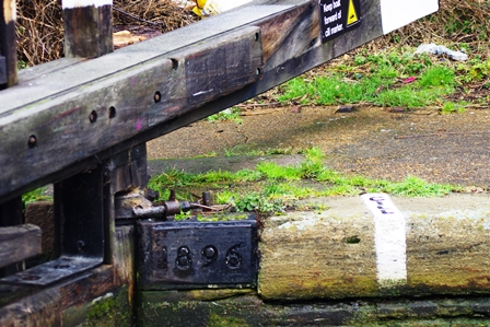
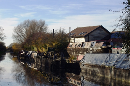
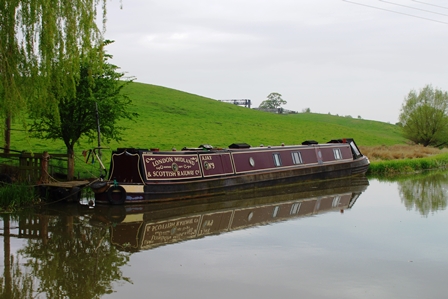
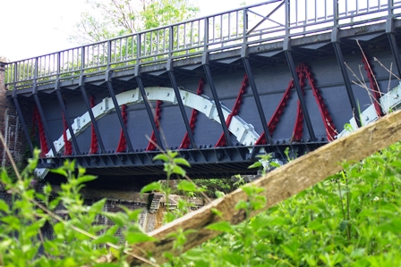
Just before Boxmoor Top Lock (#62 with date 1896) was an interesting boat with a car cab! Next was Winkwell Marina and Wharf.
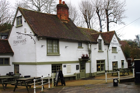
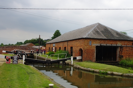
Also at Winkwell is a swing bridge, the Three Horseshoes Pub and Lock 59.
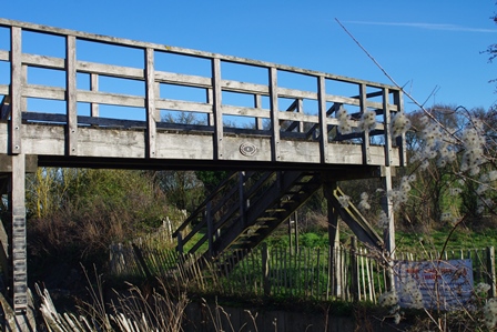
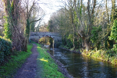
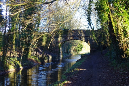
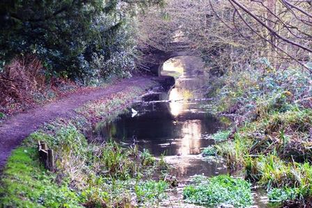
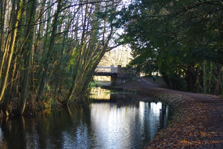
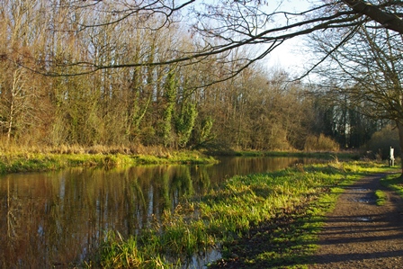
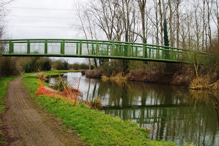
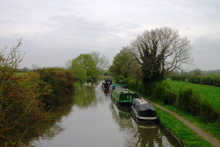
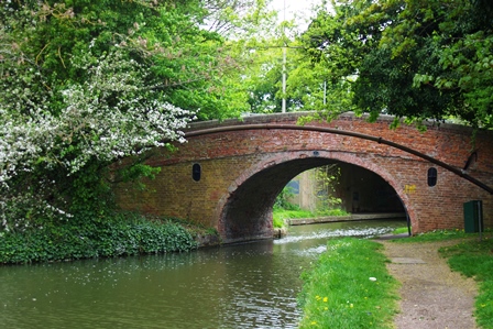
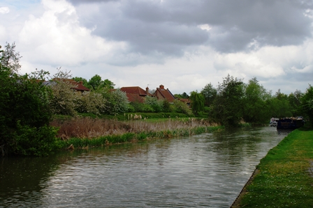
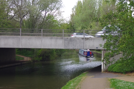
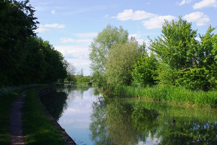
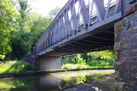
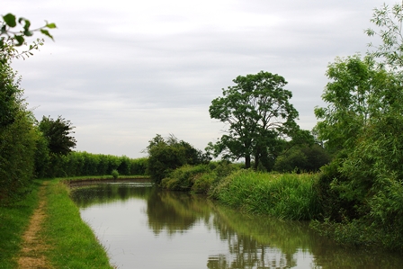
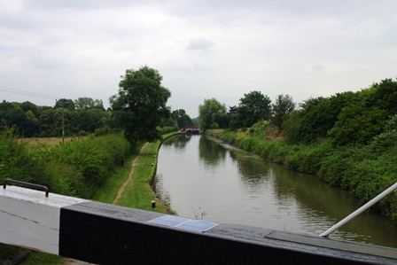
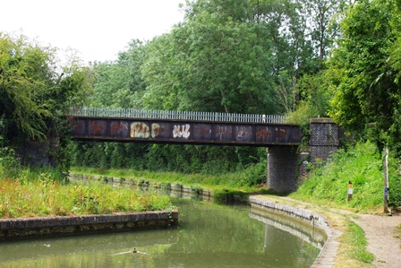
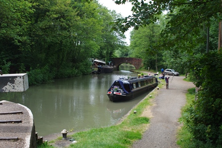
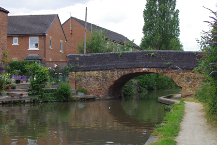
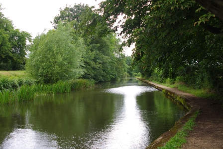
Heading into the countryside is a wide stretch and bridge number 146. Lock 57 is called Bottomside.
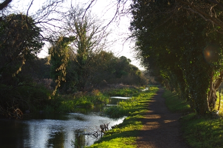
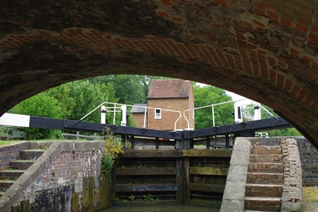
After bridge 144 (Bankmill) is Topside Lock.
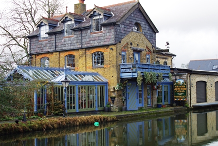
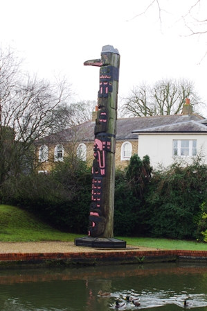
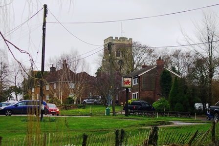
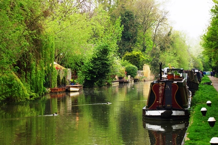
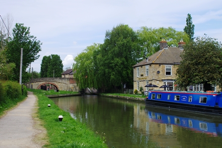
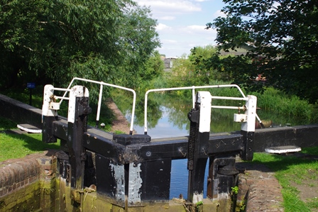
The canal then enters Berkhampsted with two pubs (Rising Sun and Boat) next to locks 55 and 54.
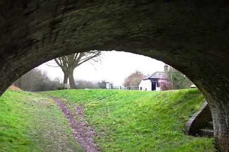
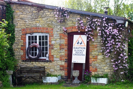
Just before bridge 141 is an interesting house and a totem pole.
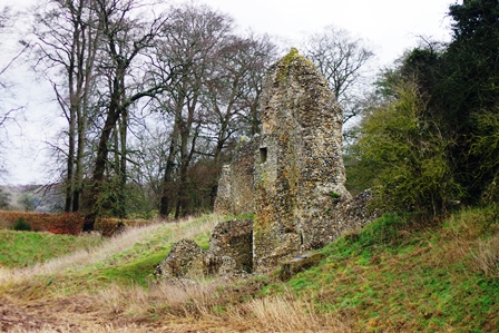
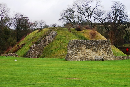
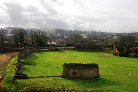
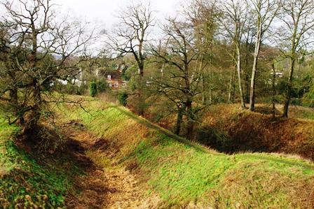
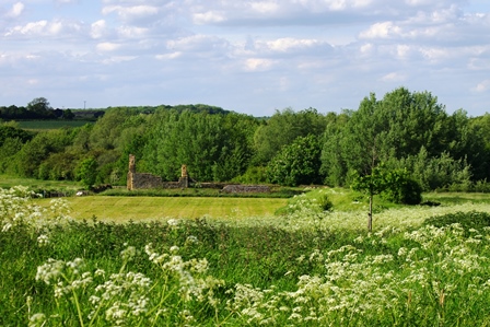
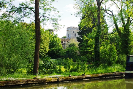
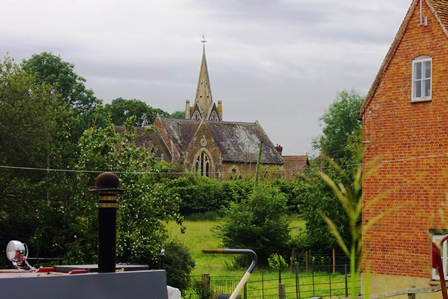
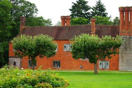
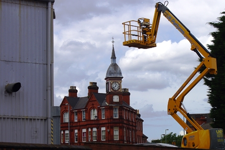
Here I took a short diversion away from the canal to see Berkhamsted Castle. Now in ruins, its impressive layout can still be seen even though the railway just skirts the edge.
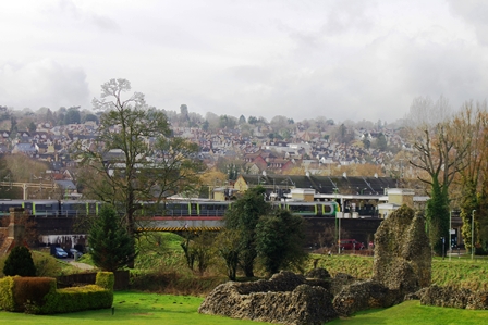
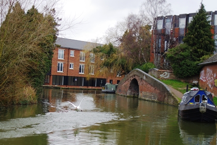
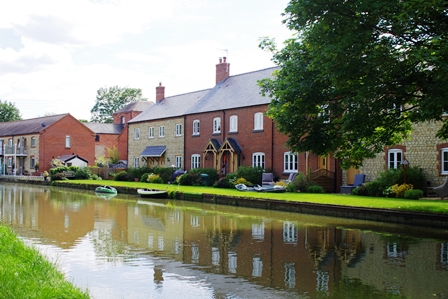
The canal goes through the centre of Berkhampsted and past a large Waitrose store. There are pleasant gardens (Castle Meadows) by the opposite bank.
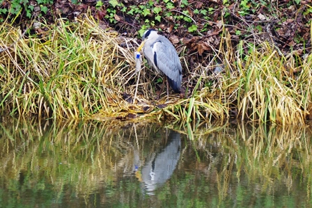
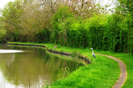
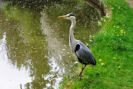
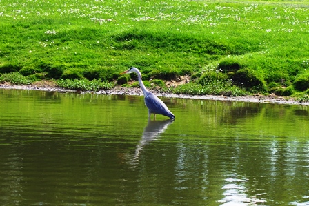
As I was leaving Berkhampsted (just before lock 50) someone pointed out a Heron tangled up with a plastic bag. They had called the RSPCA for help.
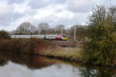
At Northchurch (lock 49) is a former pumping station and afterwards views of the West Coast mainline railway.
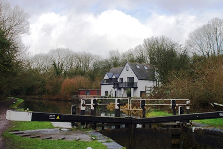
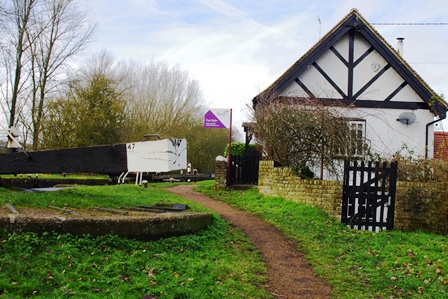
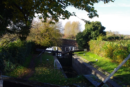
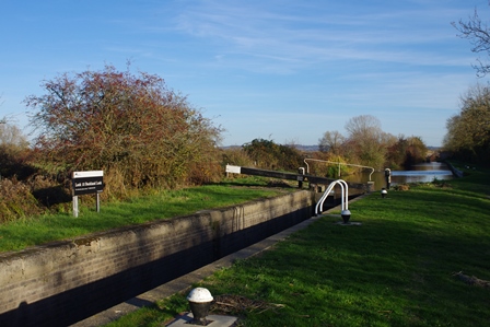
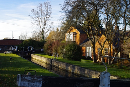
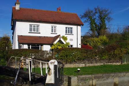
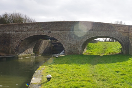
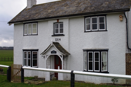
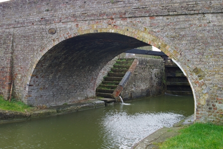
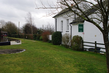
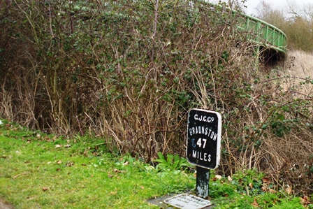
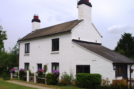
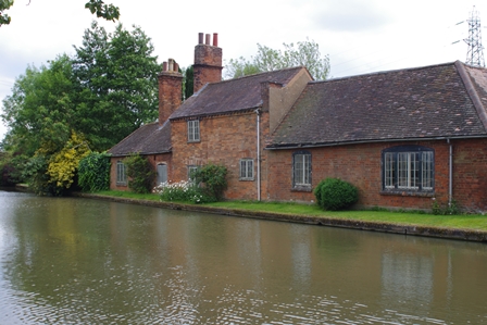
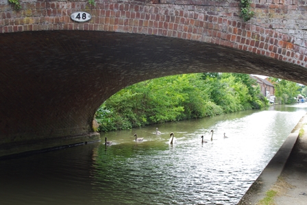
Locks 47 and 48 are close together at Dudswell. The cottage at lock 47 was for sale.
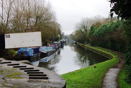
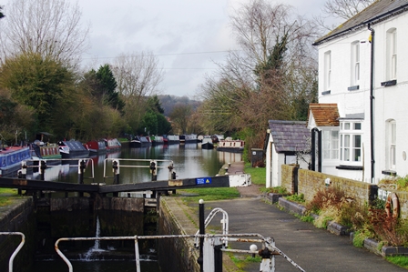
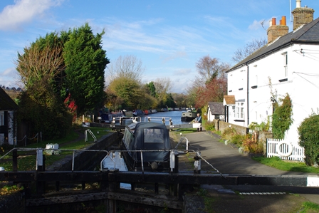
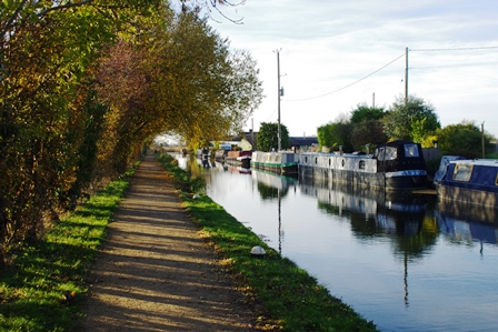
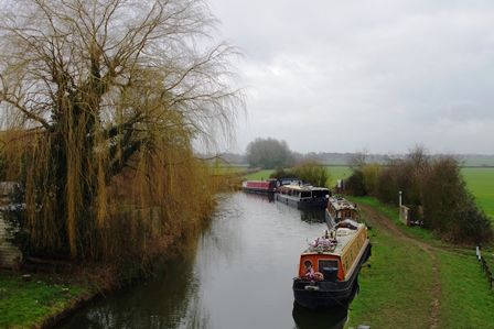
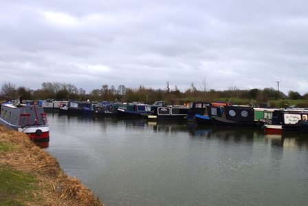
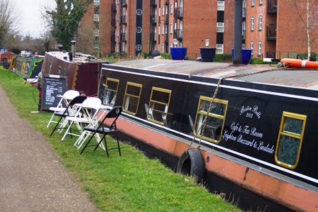
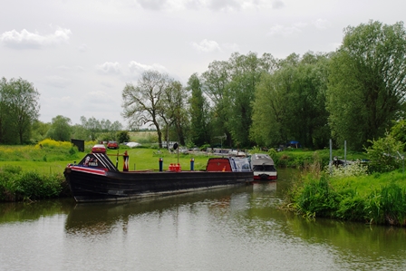
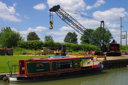
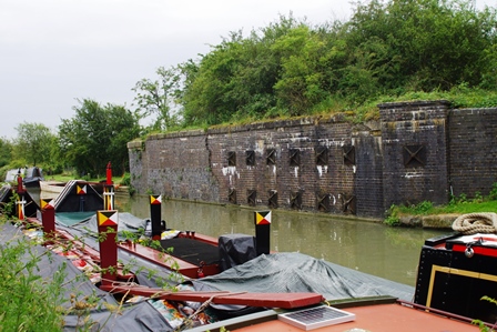
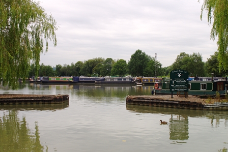
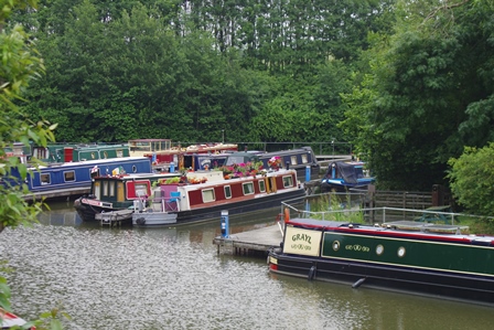
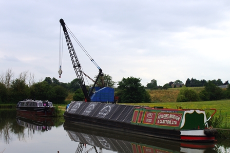
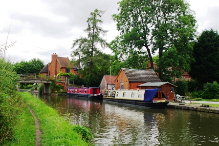
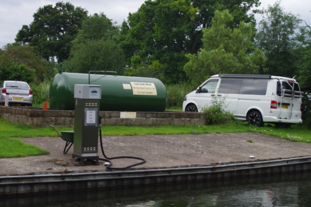
Just before Cow Roast Lock there were fuel boats serving boaters.
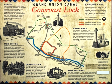
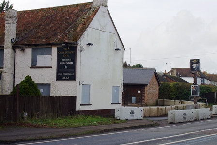
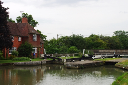
This was the end of my walk for the day. The notice board gives details of way-marked walks around the locality. Unfortunately the pub which gave the lock its name is now disused. My bus stop was opposite for the number 500 back to Hemel Hempsteed Station.
Cow Roast to Aylesbury – 14 November 2018 (10 miles)
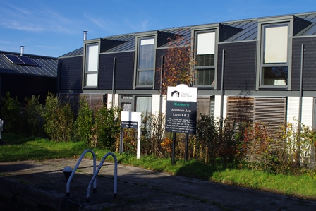
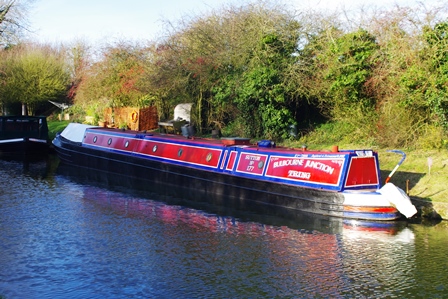
The Aylesbury Arm started life in 1813 as the Western Junction Canal with the intention of linking with the Wiltshire and Berkshire Canal to join with the Thames at Abingdon. This never happened because of intense opposition.
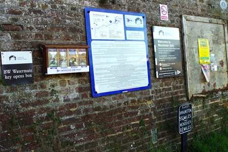
Details and route of this walk can be found on the Buckinghamshire CC map (enter Bulbourne in the search box). There is also a canal society with further information.
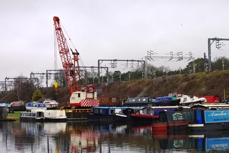
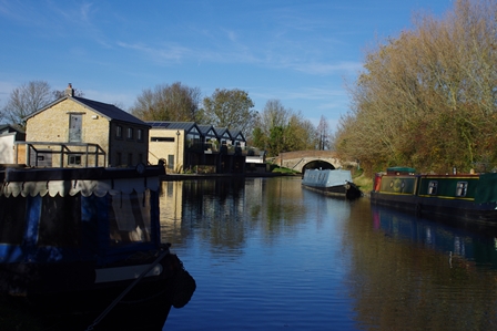
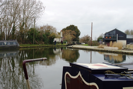
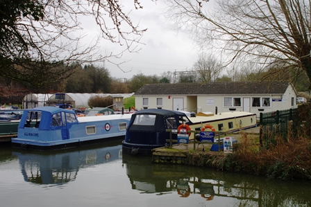
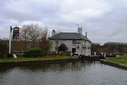
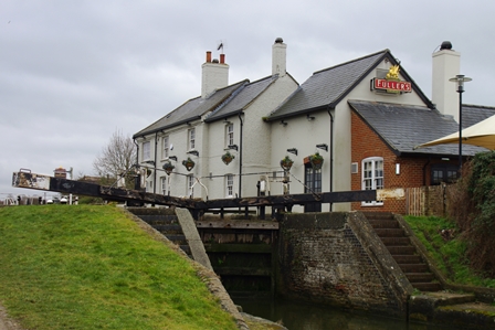
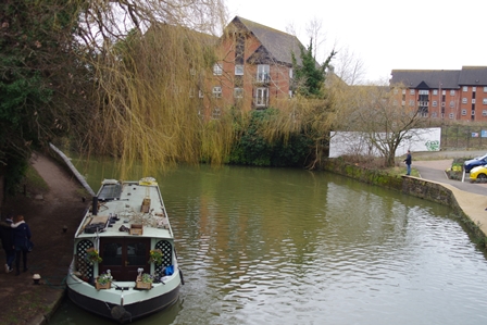
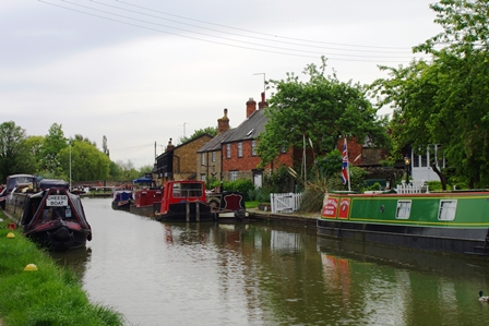
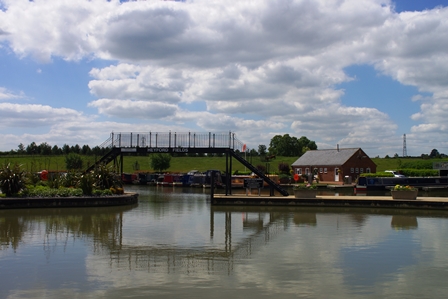
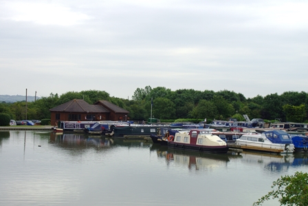
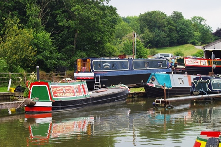
To get to the start, I took a Chiltern Railways train to Aylesbury and followed by a number 500 bus (Aylesbury to Watford service) to Cow Roast. There’s a marina at Cow Roast just after the lock.
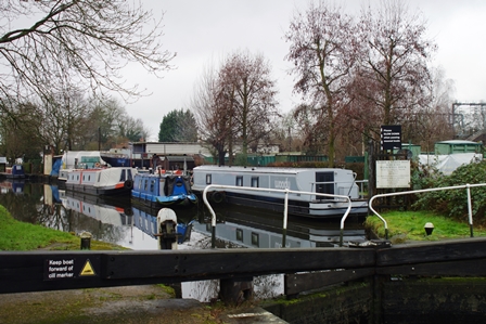
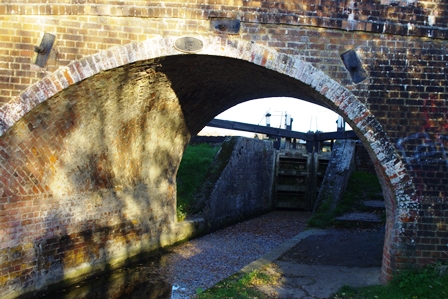
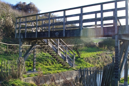
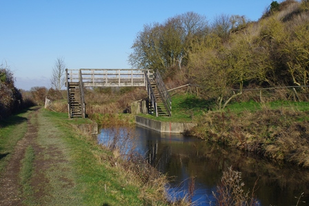
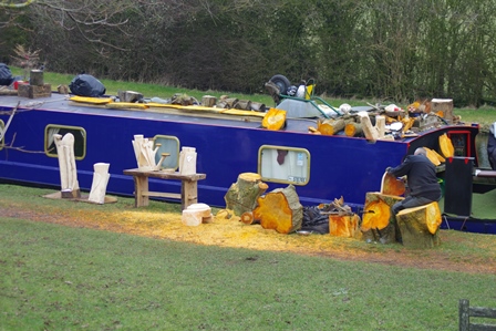
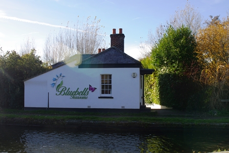
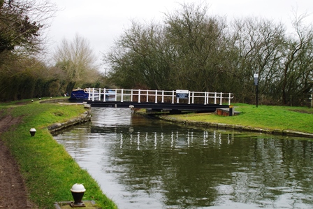
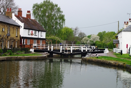
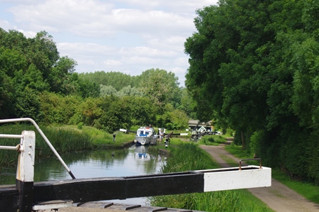
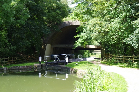
The turn off for the Aylesbury Arm is at Marsworth after Startopsend Bridge and Lock. I used the Bluebell Cafe first! The first lock is a staircase. Lock 6 (with the bridge) is Dixon’s Gap.
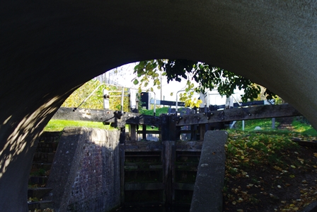
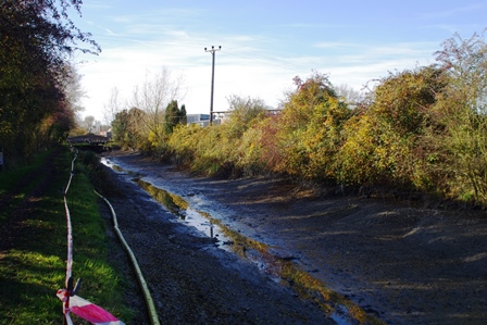
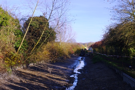
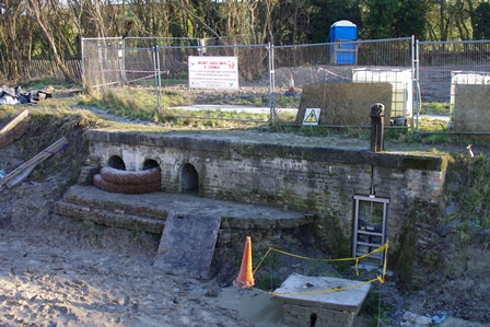
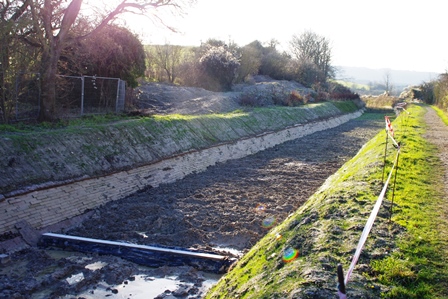
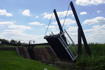
Further on a lock was under repair and the canal had been drained. Interesting to see the profile exposed.
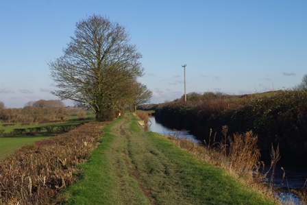
There’s quite a longer section without locks then a rather decrepit looking boatyard (Bates).
The next photos are Buckland Lock (on the Aston Clinton Road) and Red House Lock (College Road).
After this the towpath has been greatly improved. Before bridge 11 there’s a winding hole for turning round. Bridge 15 follows Broughton Lock.

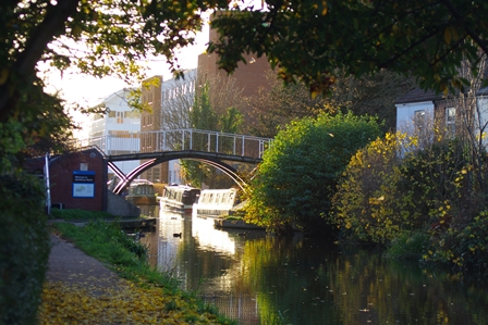
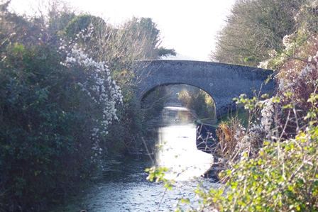
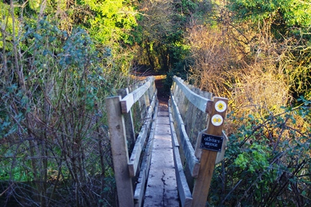
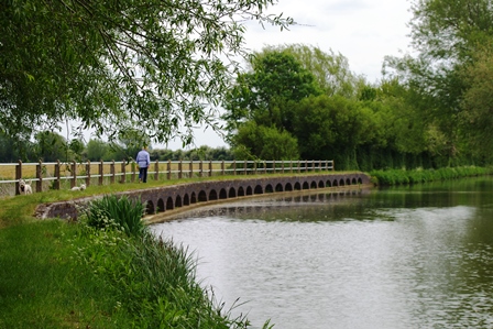
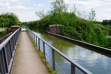
As the canal curves towards Aylesbury there’s Circus Field Basin on the right then, nearing the end of the canal, a pretty footbridge.
The basin at the end of this branch must once have been a busy scene of loading and unloading. Now it is surrounded by Aylesbury Vale University Campus and a Travelodge. Here I finished my walk and headed off into the town for my train back to Marylebone.


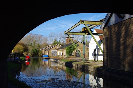
Bulbourne to Wendover – 13 December 2018 (8 miles)
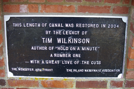
Work started on the construction of the Wendover Arm in the summer of 1793 and followed the 390 foot contour to join the summit of the Grand Junction Canal at Bulbourne Junction on the Tring summit level. After construction of the Arm had started, it was soon realised that little extra expense would be incurred in making the feeder navigable and authority to carry out this work was obtained in 1794. Although the Wendover Arm was primarily built to supply water for the locks at Marsworth and Cowroast it was served by many wharves along its length sending local produce to the London markets and also receiving coal, timber and manure for use on the land. It is being restored by the Wendover Arm Trust. More work has been done since I did this walk. Details of the restoration and maps of the canal can be found on their website. Details and route of this walk can be found on the Buckinghamshire CC map (enter Bulbourne in the search box).
To get to the start, I took a Chiltern Railways train to Aylesbury then a number 61 bus from the bus station to Tring Garden Centre, a short way from Bulbourne Bridge.
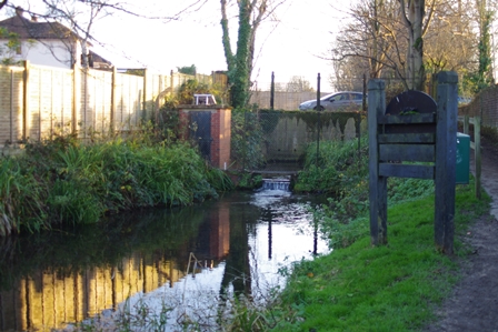
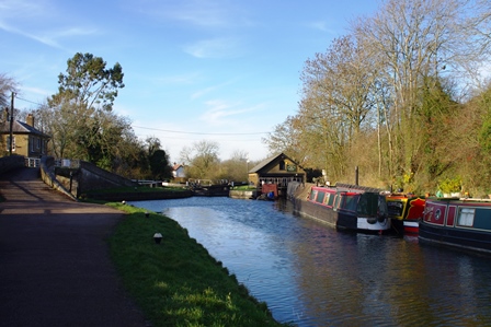
Currently the Arm is only navigable just past Little Tring Bridge (about 1.5 miles). There’s a flour mill at Gamnel Wharf. Flour was milled using steam power and wind power from the on-site windmill (later demolished). The site is now operated by Heygates and continues to produce flour.
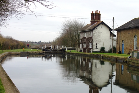
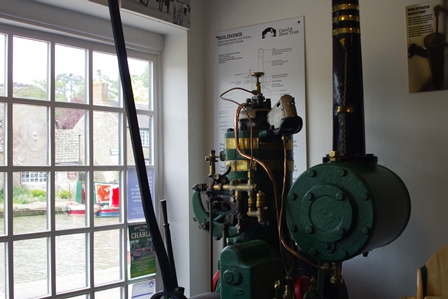
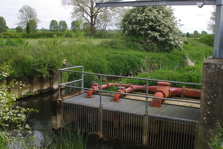
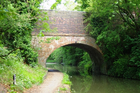
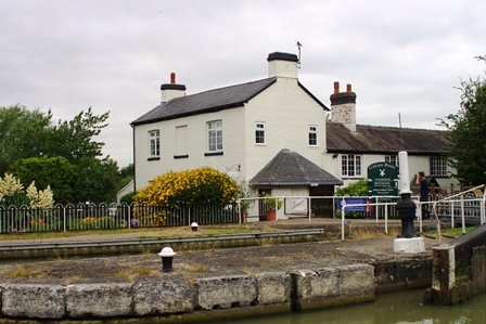
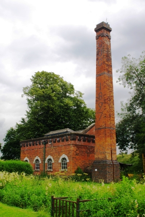
Just before Little Tring Bridge is Tringford Pumping Station, a Grade II listed building housing pumps that take water from the Tring Reservoirs up to the Wendover Arm. It was built in 1817 with a Boulton and Watt steam engine that was in service until 1927. Electric pumps were installed in 1928. Little Tring Bridge is deceptive; it is actually a concrete structure faced with hand-made bricks. The bridge was rebuilt in 2001 in the style of the original bridge. The navigable section ends in a basin at the moment.
To continue the walk I had to retrace my steps to the bridge and then walk down the road a short way. The next section to Whitehouse (where there were additional pumps at one time) is under restoration.
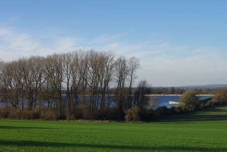
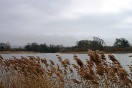
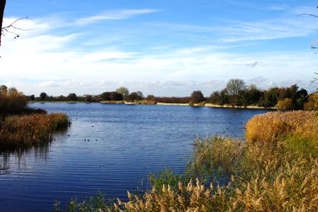
To the north of the path is Wilstone Reservoir and on the canal, footbridge 4A.
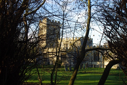
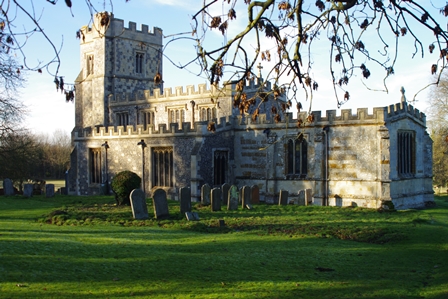
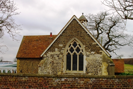
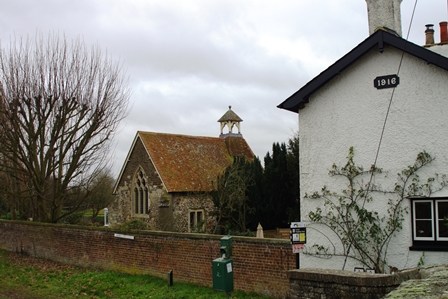
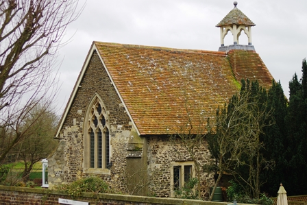
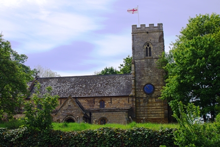
Next is the tiny village of Drayton Beauchamp with its beautiful Grade I listed church. St Mary the Virgin dates from the 15th century with earlier features such as a 12th century Norman font and 13th century brasses. The church is accessed by steep steps from the canal towpath.
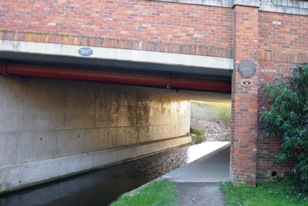
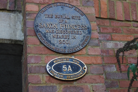
The next bridge (5A) is new as the A41 Tring bypass. There’s a plaque commemorating the burial site of a Saxon Princess discovered in 2001.
The next part of the walk goes through Aston Clinton Village.
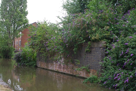
After Stable Bridge is a section known as the Narrows. This was the location of Sir Anthony Nathan Rothschild’s home, Aston Clinton House – demolished in the 1950s. A section of the canal adjacent to Green Park leaked so badly that it apparently flooded the dining room. To overcome this problem the canal banks were lined with concrete to form The Narrows, a feature that can still be seen today.
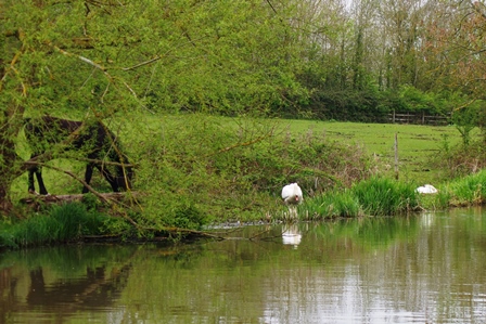
Near Harelane Bridge there was a Little Egret. Then there’s the ornate Rothschild Bridge and Halton Village home to RAF Halton. Halton House was a weekend retreat for Alfred Rothschild, and is now the Officers’ Mess. The airfield can be seen from the canal and the ornate Rothschild Bridge links Halton House with the airfield.

After Halton Lane Bridge is the Wides. The canal opens up; originally a millpond for St John’s Mill at Halton it’s now a reed bed and home to a variety of wildlife.
There’s a footbridge (Oliver’s Bridge) on the site of a former railway crossing and soon the canal ends at Wendover Wharf. At the very start of the Arm in Wharf Road there is a water flow gauge that has been recording flow rates since 1844, one of the longest continuous measurements in the world. Here I spotted a Kingfisher but it was took quick to photograph!
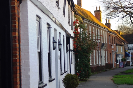
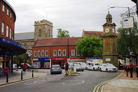
The town has some handsome old buildings, including a clock tower and it was a short distance up the High Street to the station for my train back to Marylebone.

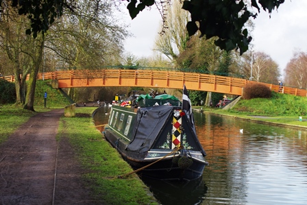
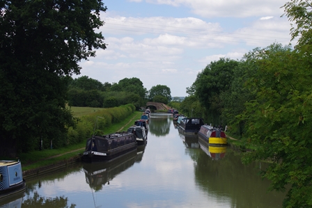
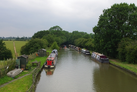
Tring to Leighton Buzzard – 16 February 2019 (11.5 miles)
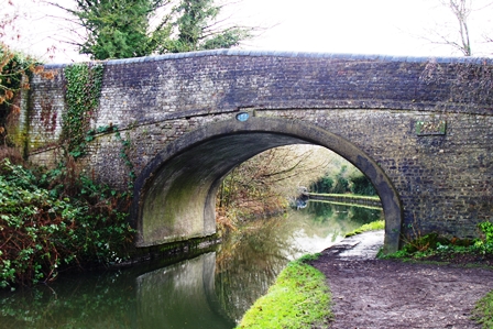
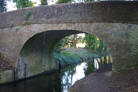
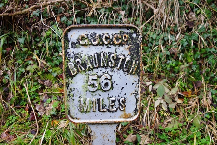
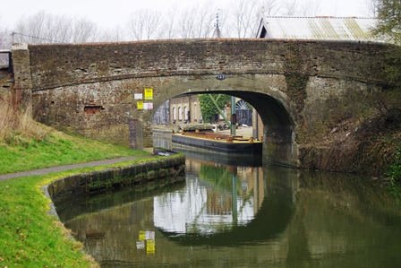
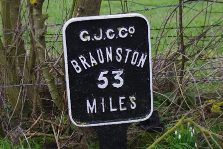
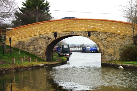
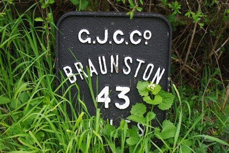
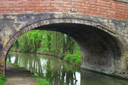
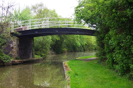
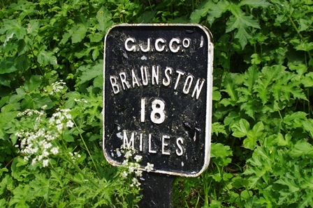
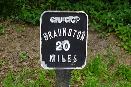
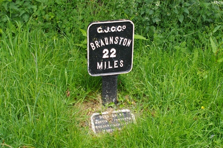
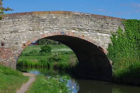
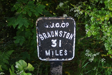
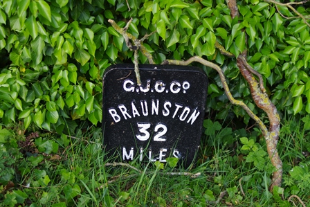
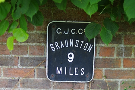
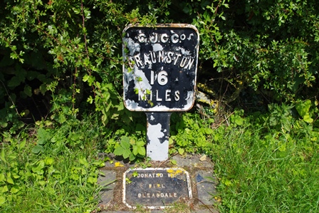
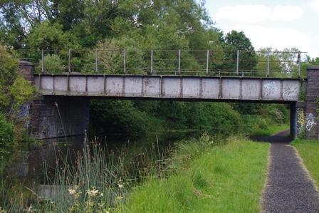
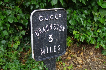
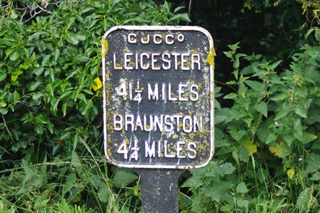
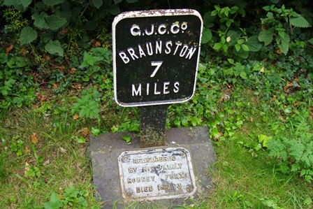
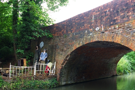
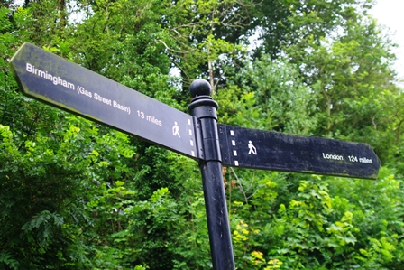
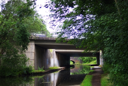
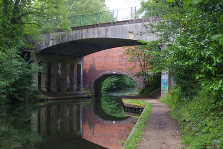
For this walk I started by train to Tring Station. It’s a short walk down the road to the canal but 56 miles to Braunston! Measurements are to Braunston because it was the end of the Grand Junction Canal before it was extended to become the Grand Union. The bridge in the photo is just before Bulbourne Wharf, a former canal depot.
Shortly afterwards is the junction with the Wendover Arm. Originally a canal water feeder, it was later made navigable and is being restored by the Wendover Arm Trust. My description of this arm is above.
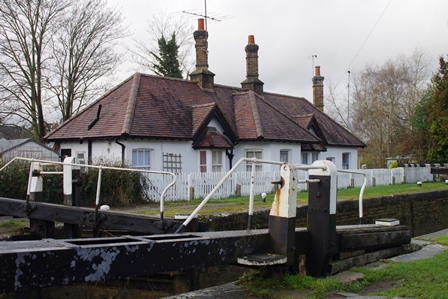
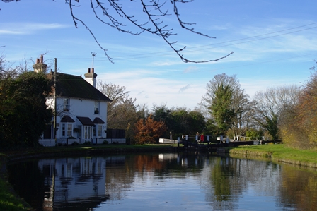
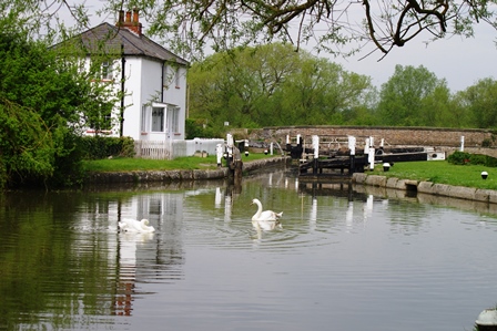
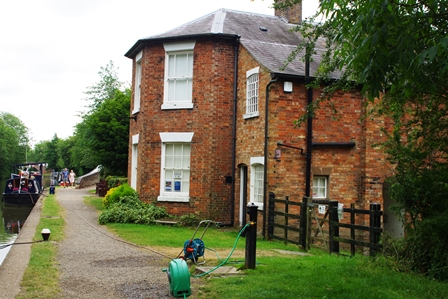
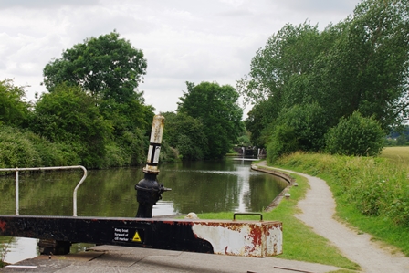
MarsworthTop Lock has a lock keepers cottage.
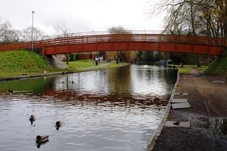
After lock 40 at Marsworth there are several reservoirs to feed the summit of the canal. It’s a good spot for crafts and artists as there are popular short walks from the next bridge (Startopsend) where there’s a car park and cafe.

Startopsend (Marsworth) Bridge and Bluebells Cafe.

Just after this is the branch to Aylesbury which is described above. Marsworth Village follows.
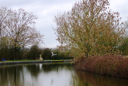
After Marsworth Bottom Locks (no. 37, 38 and 53 miles from Braunston) there’s a good view of Ivinghoe Beacon.

The other side of a railway bridge is a small marina (Pitstone Wharf) and the Waterside Cafe (the white building) where I had lunch.
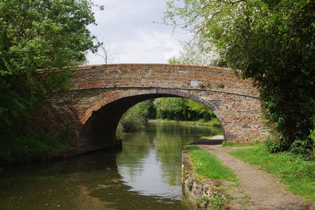
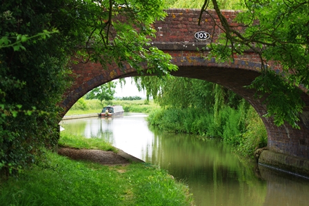
Not far away is Seabrook Swing bridge and locks followed by bridge 123.
The locks in this section were once doubled up to save time which is why the bridges have two arches as at Horton Locks.
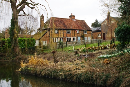
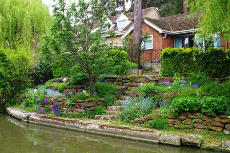
At Slapton Lock the canalside cottage was for sale. On the opposite bank there are holiday lodges.

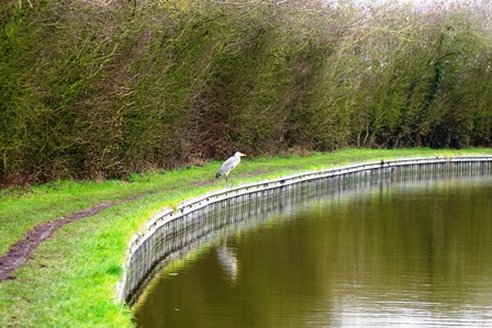
The heron I saw tried to settle on the bank but as soon as I walked towards it, it moved further along several times then gave up and flew away! The next place of interest was Church Lock. The old church building (St. Michael and All Angels , 15th century) is now a private house. The towpath changes sides here.

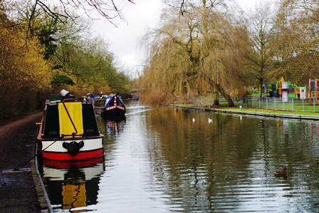
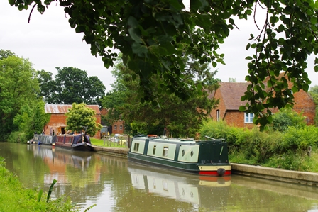
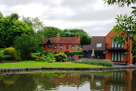
Grove lock has a small marina and a pub convenient for boaters.
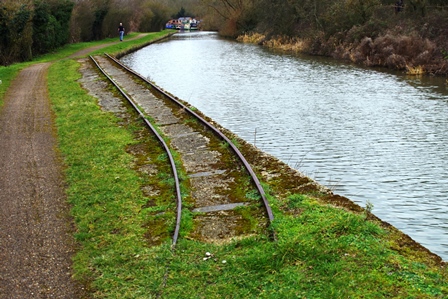
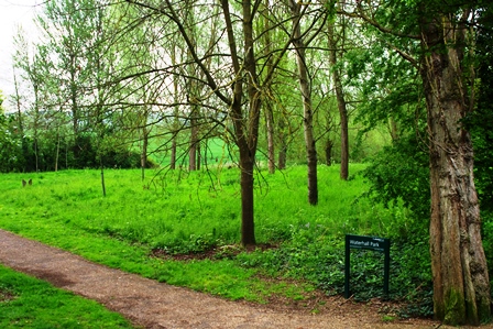
North of Grove Lock is the site of former gravel workings which were linked to the canal by narrow gauge railway. A short section of line still exists by the canal. The footbridge leads to Tiddenfoot Park.
On approaching Leighton Buzzard there’s a former railway bridge which is now a cycle route. The canal widens a little at Leighton Wharf where I was treated to the take-off of a group of swans. Leighton Buzzard Station is actually in Linslade opposite Linslade Park. Here I took the train to Euston and home.
Leighton Buzzard to Pennyland (Milton Keynes) – 24 April 2019 (14 miles)
This walk started with a train back to Leighton Buzzard Station. There’s a Tesco next to the canal bridge which was useful. A hire company further on and interesting gardens.
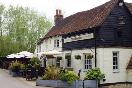
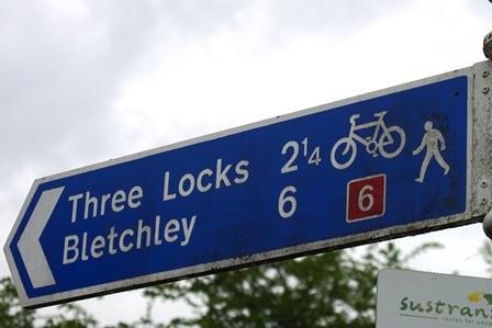
The first lock is Leighton Lock then by bridge 111 is The Globe Inn (2 miles from Leighton and 6 miles to Bletchley).
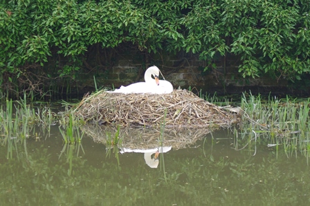
Taking up space in the next winding hole was a swan’s nest and just before bridge 110. Moored there was a boat “owned” by the London, Midland and Scottish Railway. Once competition for the canals.
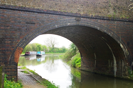
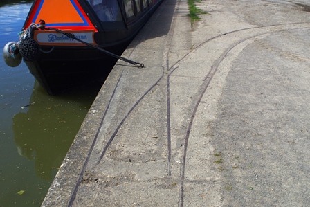
Bridge 109 showed the wear grooves from years of rubbing ropes. This was 3 miles from Tesco and 43 miles to Braunston.

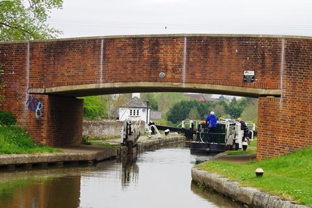
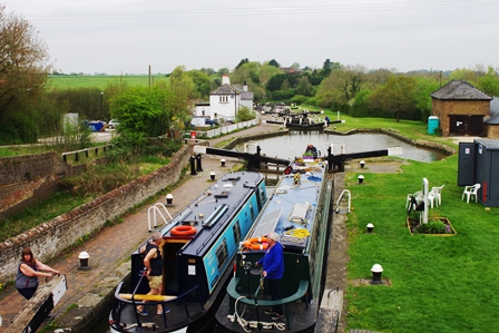
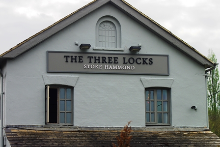
Bridge 108 is just before Three Locks at Soulbury. There’s a restored pumping station opposite the Three Locks Pub.
There’s a peaceful stretch from bridge 106 where the towpath changes sides and passes Stoke Hammond Lock.
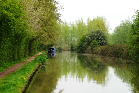
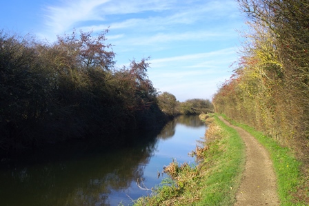
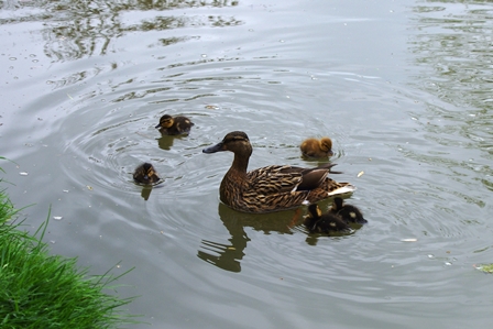
This section of the canal follows the course of the River Ouzel briefly glimpsed close to the towpath. More wild life on this section too.
Bridge 102 is just before Willowbridge Marina and Waterhall Park (part of the area of Bletchley known as Water Eaton).

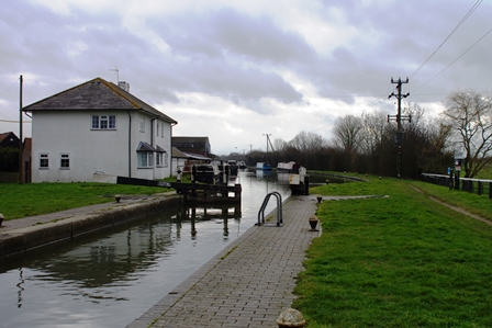
The northern part of Bletchley is Fenny Stratford where there’s a Marina and next to lock 22 are Lockview Cottages. I stopped here for lunch.
The next section winds its way through Milton Keynes. There’s a Marina at Woughton after bridge 90.
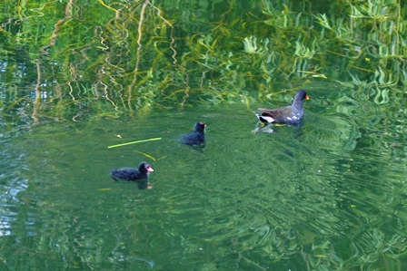
In spite of being an compact area of housing, there’s still plenty of open space and tame wild life!
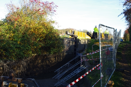
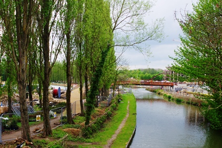
At Campbell Wharf there’s considerable development including a branch canal which is intended to link with Bedford eventually. There was a short diversion here around the works.
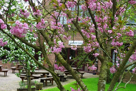
Near bridge 81 in Willen Park is the Camphill Community Cafe (vegetarian) where I stopped for tea and cake.
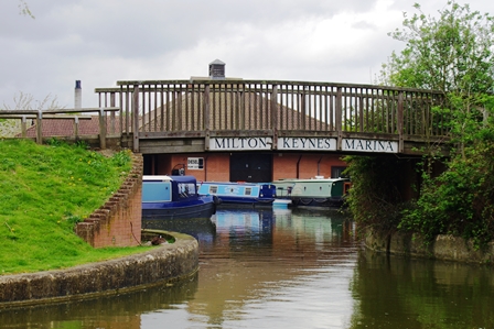
Shortly afterwards is Pennyland Boat Basin and after the A422 bridge (79) is a cycleway bridge. Milton Keynes is well supplied with cycle routes. Here I left the canal for a number 7 bus to Central Milton Keynes and the railway station for my train back to Euston.
Blisworth to Pennyland – 22 May 2019 (14 miles)
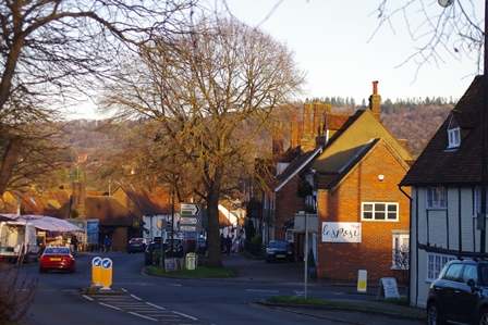
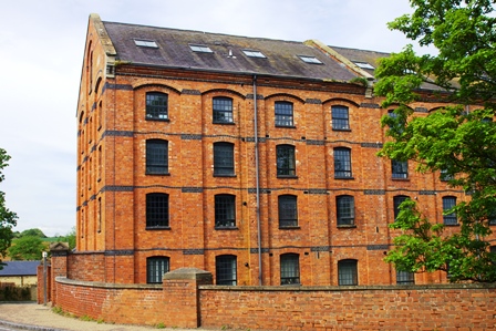
Because transport at the northern end of this section is rather infrequent, I decided to start at Blisworth and walk south to Milton Keynes. So after a train to Northampton Station, I caught the number 88 bus from the town centre to Blisworth. The bus stop is right by the parish church. The brick building next to the canal bridge is a former corn mill, converted to residential in 2000.
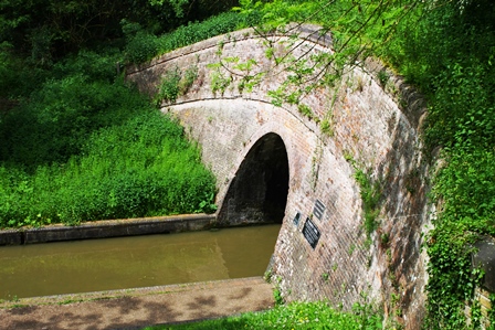
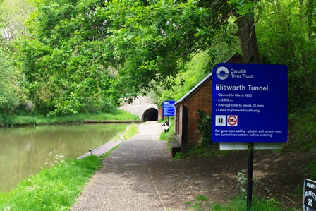
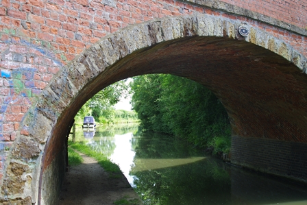
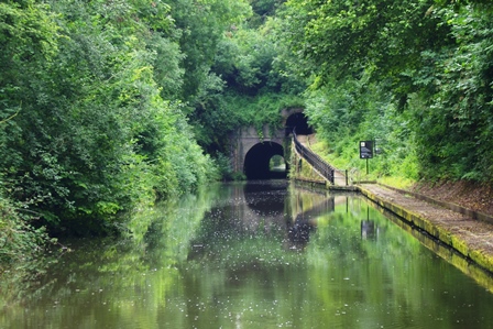
A short section of towpath leads to Blisworth Tunnel. Note the mileage check!
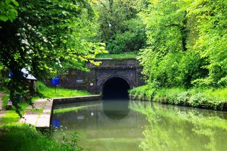
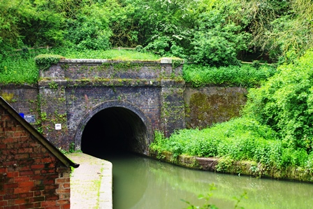
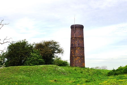
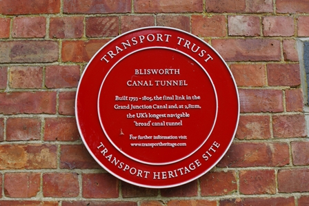
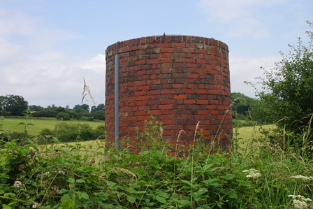
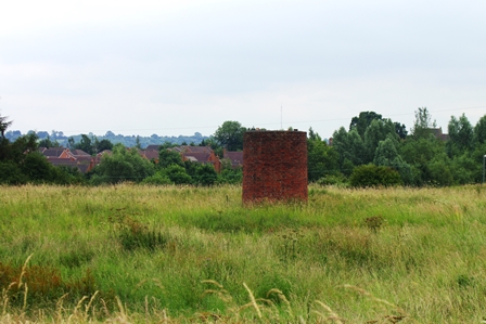
As there’s no towpath in the tunnel (2,812 metres long) the path goes over the top. En route there’s a ventilation chimney, traces of the tramway that was in place before the completion of the tunnel and the line of a former railway to Towcester.
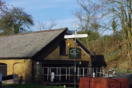
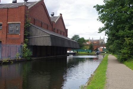
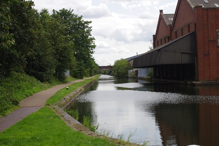
At the other end of the tunnel is a former blacksmith’s forge and Stoke Bruerne Quay with its canal museum and cafe (good for a tea break!).
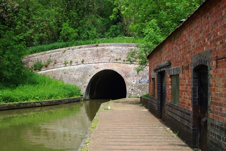
Boat trips can be taken to see the tunnel from the quay.
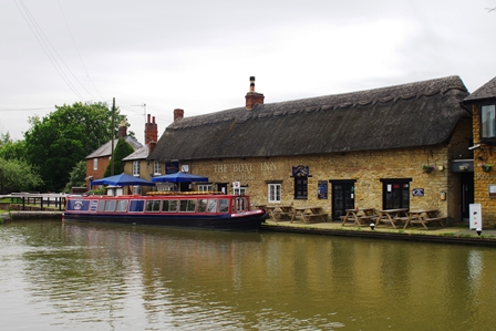

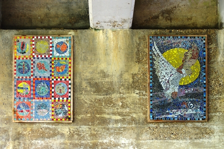
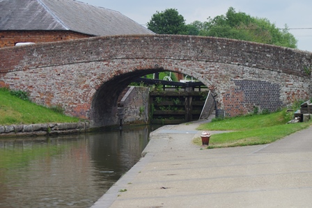
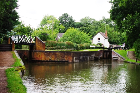
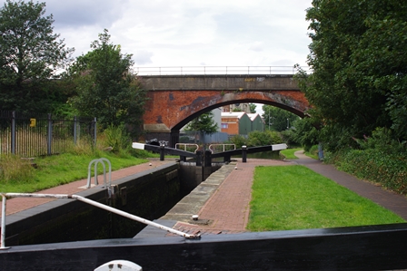
There are more locks in Stoke Bruerne and the Navigation Pub by the top lock. The mosaics are under a new bridge carrying the A508 road.
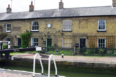
Canal Cottages are next to the Stoke Bruerne bottom lock.
Further south is a pumping site and run-off weirs into the River Tove (22 miles from Braunston).
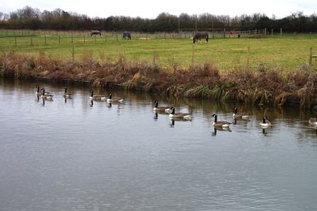
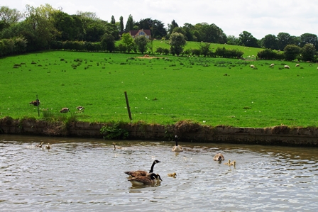
Nearing Grafton Regis (bridges 56 and 57) are some lovely canal scenes with ducks and geese.
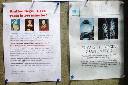
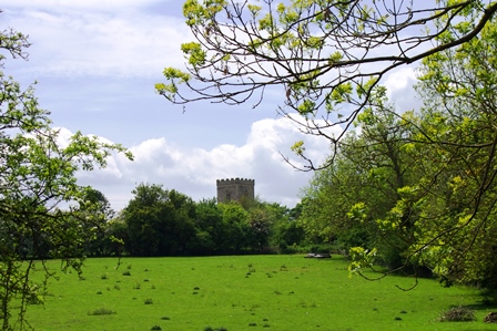
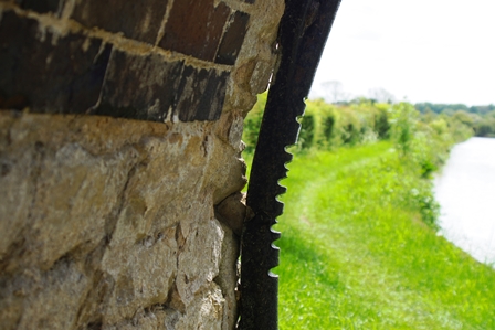
Grafton Regis was made famous as the home of Elizabeth Woodville (consort to Edward IV). The house later belonged to Henry VIII and was where he made plans for the Church of England. The manor house was destroyed in the civil war. The church tower can be seen from the canal. Bridge 58 has the typical rope grooves.
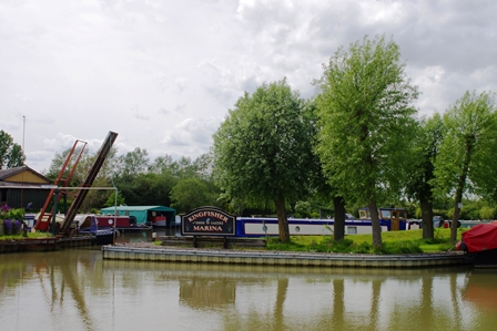
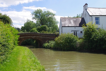
At Yardley Gobion is Kingfisher Marina. Bridge 62 shortly afterwards.
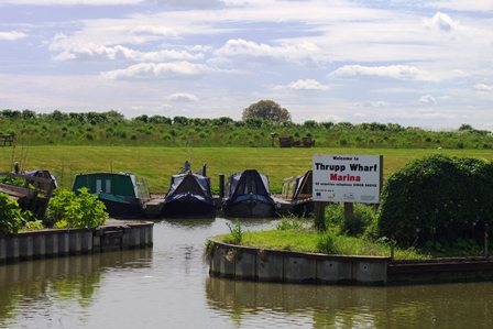
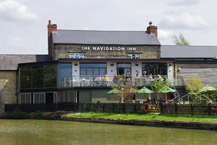
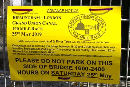
There are views here across open countryside just before Thrupp Wharf Marina and the Navigation Inn. The race was three days later.
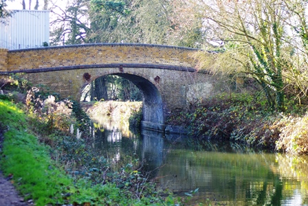
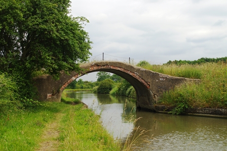
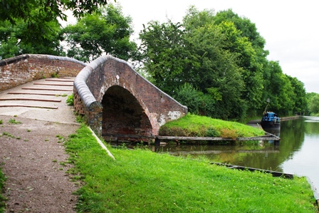
Soloman’s Bridge (number 65) in Cosgrove is in an unusual Gothic style. Built in 1800 with no particular reason for its design.

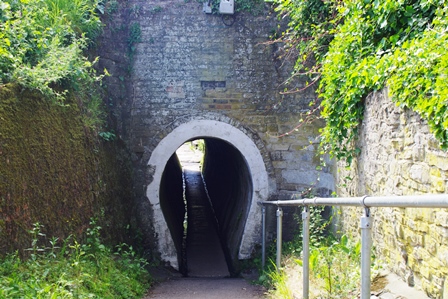
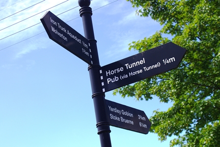
In the centre of Cosgrove the towpath is linked to the Barley Mow Pub by an unusual horse tunnel.
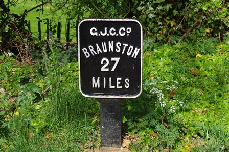
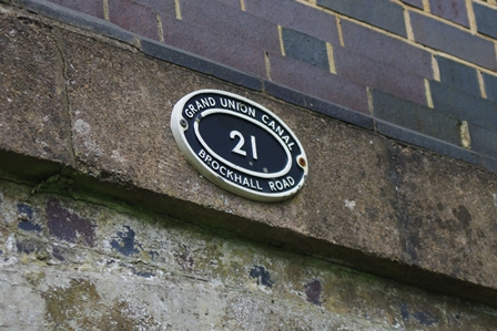
Next to the wharf and lock (number 21) is a short section of the former Buckingham Canal (27 miles from Braunston). This is now being restored. Further information about its history is here. A walk leaflet is available to download.
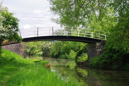
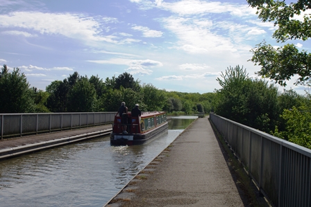
A short distance south is the Iron Bridge Aqueduct which takes the canal over the River Great Ouse. Originally there were a series of nine locks descending into and out of the valley. The first aqueduct was constructed by William Jessop in 1805 but it collapsed in 1808. A second aqueduct was installed by Benjamin Bevan in 1811 and is still in use today.
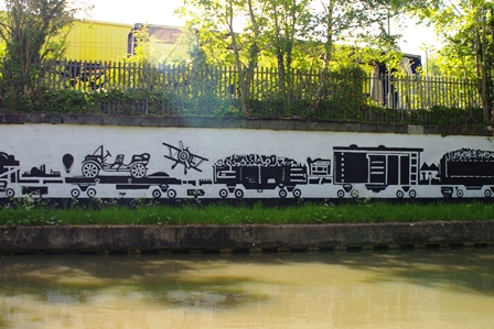
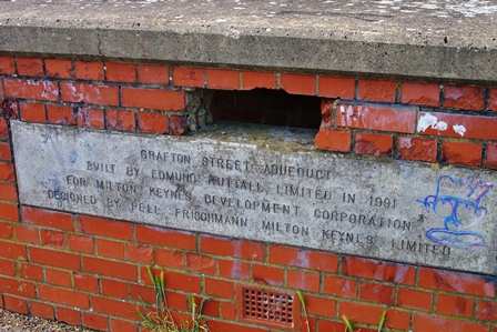
Bridge 69 is in Old Wolverton near the former railway carriage works. A mural on the factory wall reminds us of the works. A little further on is the Grafton Street Aqueduct over a dual carriageway built in 1991.
The canal then passes through an attractive meadow area known as Stanton Low. The ruins of St. Peter’s Church can be seen in the park near bridge 75.
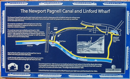
After the former railway bridge (ran to Newport Pagnell, now a cycleway) in Stantonbury there is the church in Great Linford. At Great Linford Wharf is a plaque explaining the history of the Newport Pagnell Canal which was superseded by the railway.
The milepost indicated that I had walked at least 14 miles from Blisworth and it was another half a mile across parkland to the bus stop on St Leger Drive for the number 7 bus to Milton Keynes Station.
Weedon to Northampton – 3 July 2019 (13.5 miles)
Again a north to south walk, partly because of the infrequent bus service at Weedon, but also because I was going to take in the Northampton Arm via Gaydon Junction which conveniently ends in Northampton centre quite close to the railway station. The bus stop for the D2 bus to Weedon was directly outside Northampton Station. The canal (bridge 24) is in the High Street in Weedon.
Going south is Weedon Wharf, then Stowe Hill Marina. The railway goes through Stowe Hill tunnel while the canal goes around the hill.
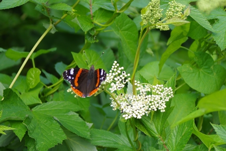
The sight of a Damsel Fly and soon is Flore Lane Wharf and a lovely caravan site. The next marina is guarded by a plastic heron!


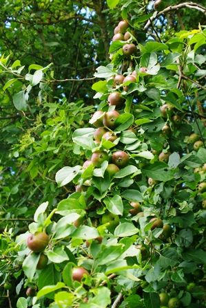
After bridge 32 (Furnace Lane) were Crab Apples galore and Heyford Fields Marina.
The Wharf pub looks a pleasant stop and another marina follows at Bugbrooke.
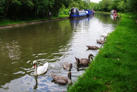
Next are bridges 41 and 42 and more wild life.
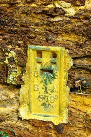
The following bridge (43) had an Ordnance Survey Benchmark and I had walked seven miles from Weedon to bridge 46.
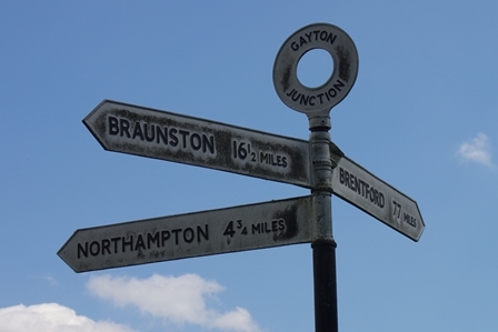
The next bridge (47) is a crossover bridge for boats being towed just before Gaydon Junction where the Northampton Arm turns off east.
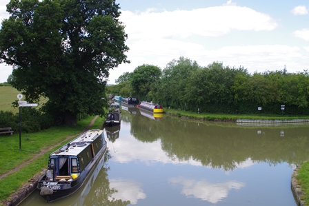
After a brief lunch break, I set off along the Northampton Arm. I actually missed out a short section (less than a mile) between here and Blisworth as in the photo below.
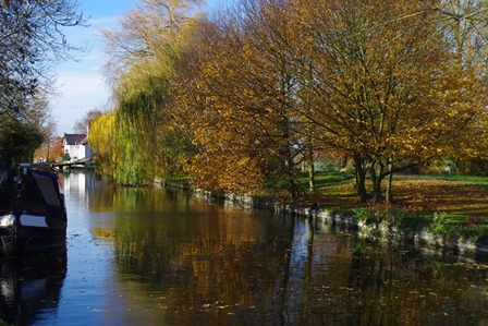
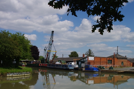
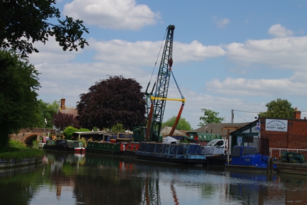
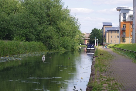
The Northampton Arm was a delightful canal. As few boats use it the water was very clear in places. Very different from the usual muddy colour as in the photo of the junction above. At the start of the arm is Gayton Marina.
Then the tranquil effect begins with bridge 3 and the first narrow lock of seventeen in total.
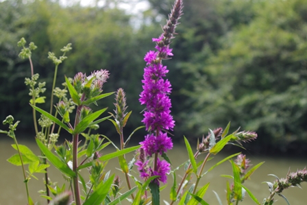
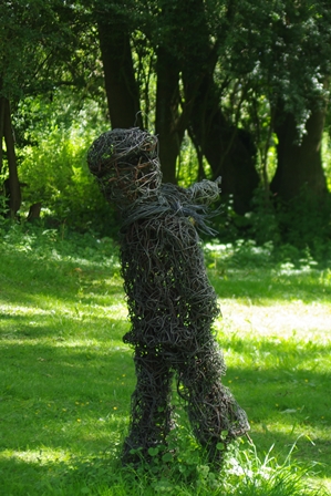
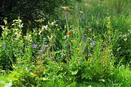
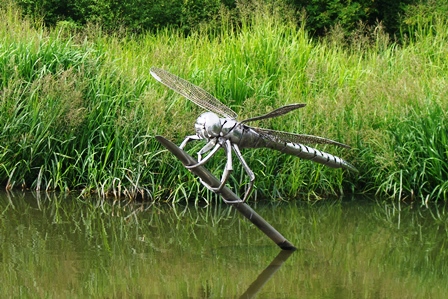
By lock 3 is a restored lift bridge. Lock 4 actually had a boat coming through (I saw no others moving). Soon after were some wire sculptures and a lovely bank of wild flowers.
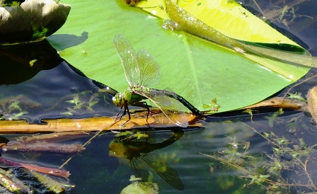
Lock 13 is nearly under the M1 motorway at junction 15A. More Dragonflies were around.
At Cotton End is a disused railway bridge getting close to the end of the arm.
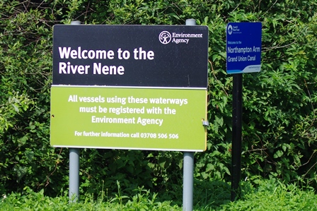
The canal doesn’t actually end here at lock 17, it joins the River Nene which is under the management of the Environmental Agency and boats need a separate licence.
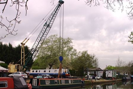
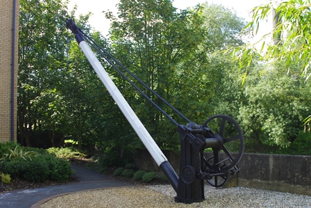
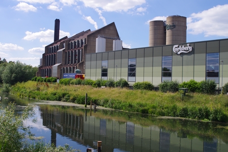
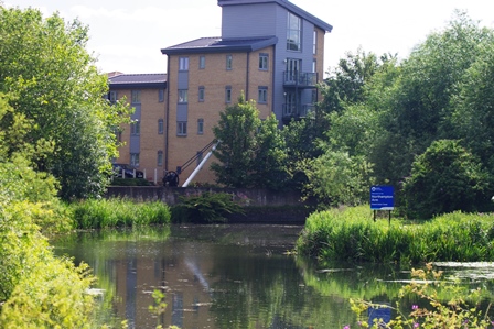
The footpath crosses the Nene near an old derrick crane and the Carlsberg brewery. So with a look back at the junction of the canal with the Nene, I followed the footpath into Northampton centre to catch my train home.
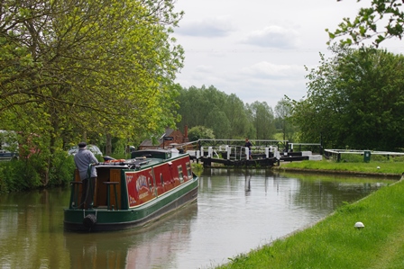
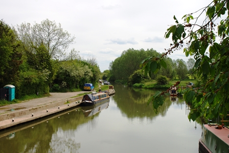
Stockton to Weedon – 9 July 2019 (17.5 miles)
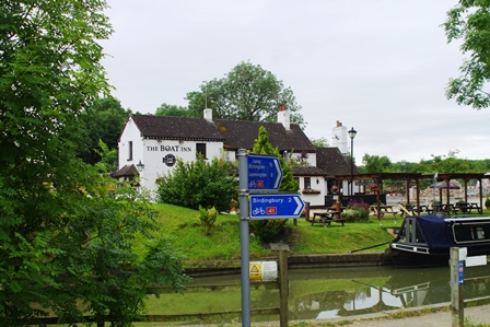
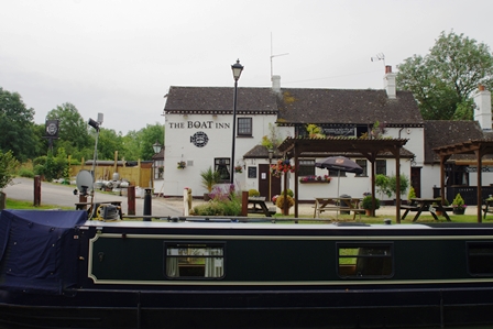
This was a long section and again north to south because of ease of public transport. I started by train to Rugby, walked to the town centre (photo left), then by number 63 bus to Stockton. The bus stop is right by the canal at the Boat Inn.
Soon along the canal going east is Nelson’s Wharf and marina.
Before Ventnor Marina are the remains of a bridge of the former railway which ran from Leamington to Daventry.
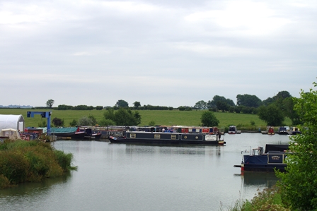
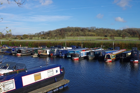
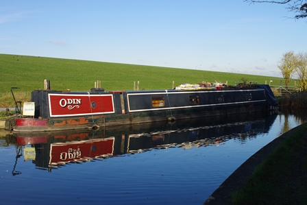
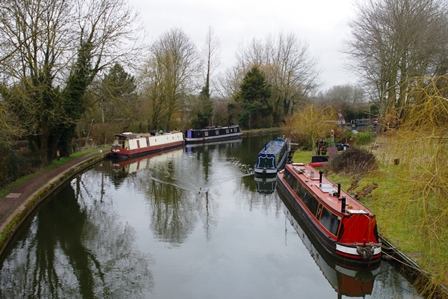
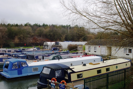
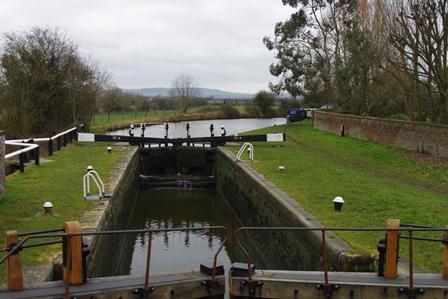
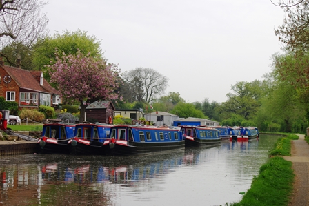
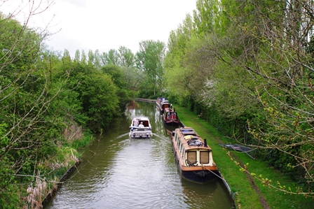
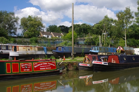
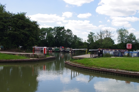
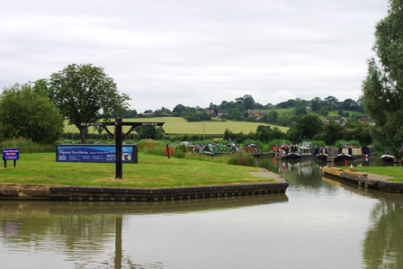
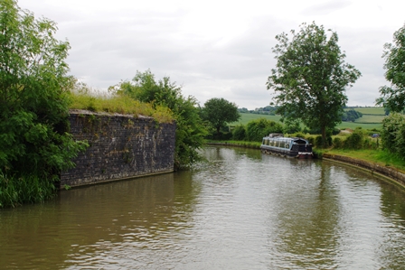
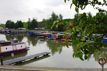
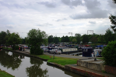
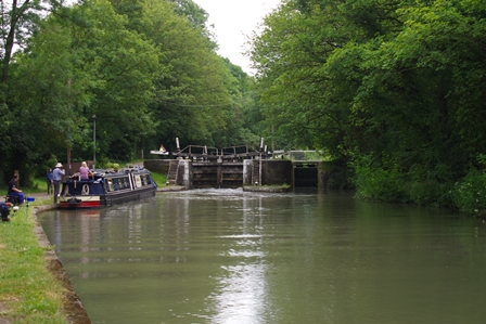
Next are Calcutt Locks and Marina.
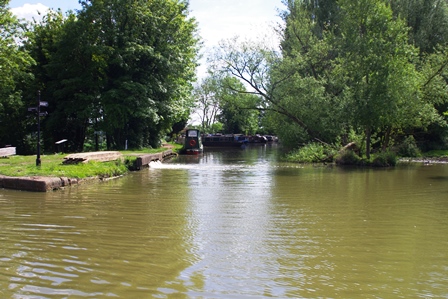
At Napton Junction the Grand Union meets the Oxford Canal. There’s Wigrams Turn Marina at the junction.

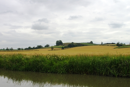
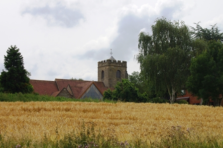
Continuing along the Oxford Canal, at Lower Shuckburgh there are ancient fields which display ridge and furrow markings. The village has a small wharf and attractive church.
Approaching Flecknoe village there’s bridge 103 and another former railway bridge. Bridge 100 is in a state of disrepair.
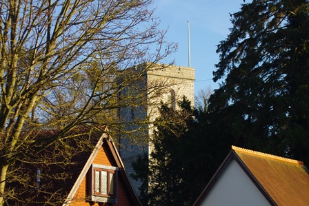
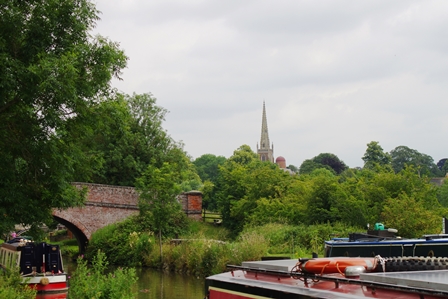
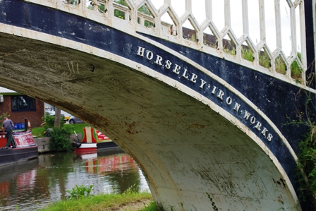
Soon is a view of Braunston Church. The towpath crosses over at bridge 95 just before the junction where the Oxford Canal leaves towards Coventry.
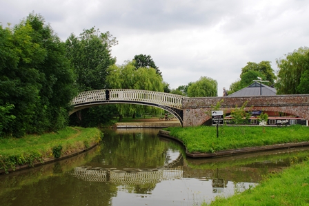
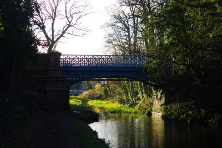
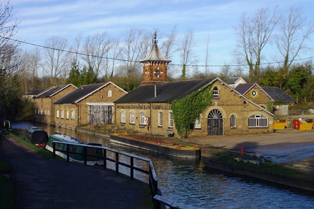
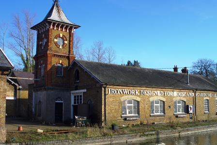
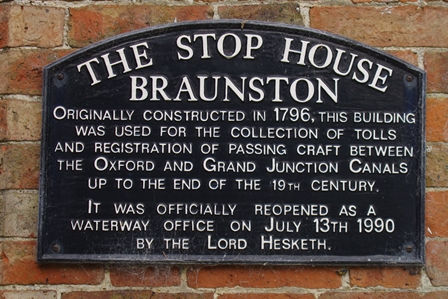
The footbridges here are made in cast iron at Horseley Iron Works (Telford). The Stop House was originally for the collection of tolls but is now a waterway office.
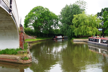
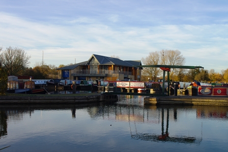
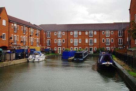
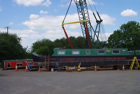
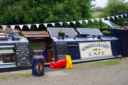
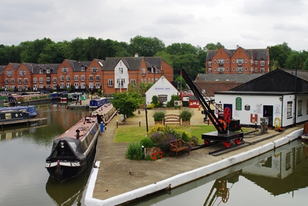
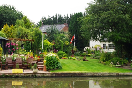
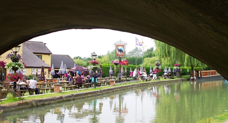
I stopped for lunch here and made use of the Gongoozlers Rest Cafe (gongoozler is a a canal spectator) and because it was hot, declined a seat on the boat and used the picnic garden instead. Braunston Marina was an important staging post on the canal with wharves and offices.

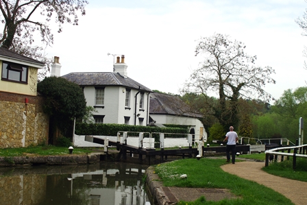
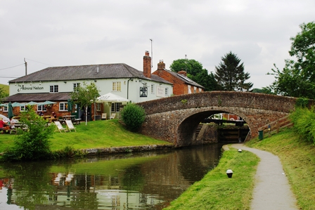
There are six locks next and a former pumping station and docks. Next to lock 2 is a small shop (ice creams!). Next to lock 4 is the Admiral Nelson pub.
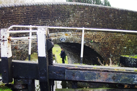
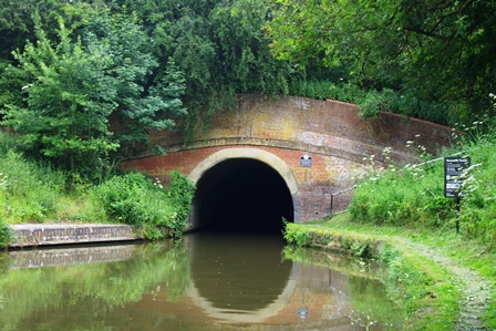
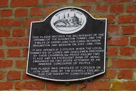
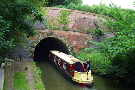
The Braunston Tunnel was opened on 21 June 1796 and is 1873 metres long. There’s no towpath so the footpath goes over the hill. There are two ventilation shafts. The tunnel is wide enough for two narrow boats to pass.
The eastern portal of the tunnel is just under 3 miles from Braunston. Just over 4 miles from Braunston is Norton Junction where the Leicester Branch joins the main Grand Union.
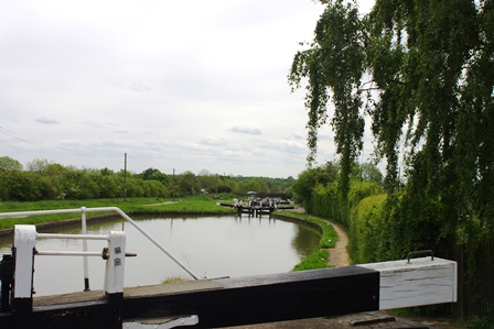
Soon is Wilton Lock number 7 next to the A5 road. There’s an attractive canalside garden and another five locks before Whilton Marina where there’s a cafe. I was just in time for a takeaway cup of tea and a brief sit down!
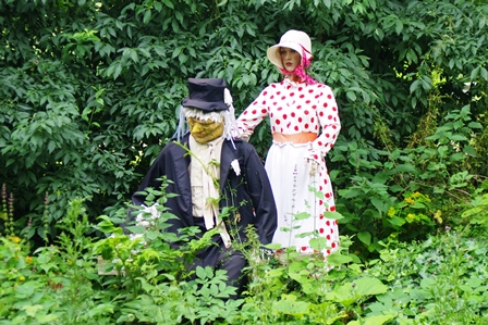
There are another 1.5 miles to go to Weedon (7 miles from Braunston) and past bridge 21 are Worzel Gummidge and Aunt Sally advertising a local art exhibition.
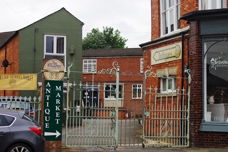
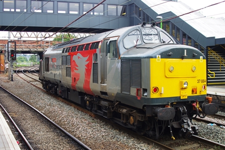
The A45 road now by-passes Weedon and can be seen in the distance at Weedon Wharf. I left the canal at Weedon High Street where there’s an Antique Market. The bus stop for the D2 bus to Northampton is just down the road outside a small Tesco store. While waiting for my train to Euston, Rail Operations Group 37884 came in to wait for my train to pass.
Stockton to Hatton – 17 July 2019 (14.5 miles)
I was back to the Boat Inn at Stockton by the 63 bus, but this time from Leamington rather than Rugby. This time going towards Birmingham. Soon there’s Stockton Marina …
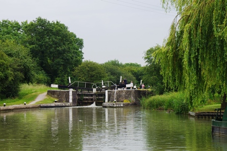
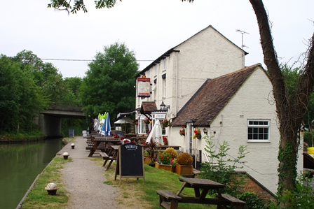
… and 8 Stockton Locks and the Blue Lias pub.
Before Stockton Bottom Lock is Stockton Dry Dock and afterwards The Two Boats pub.
Just before Bascote Locks is a former railway bridge; now a cycle path.
Bridge 31 comes before Fosse Way (bridge 32), then there’s the cycleway again over the former railway viaduct.

At Radford Bottom Lock, bridge 34 is decorated with a bedroom scene!
The view of Radford Semele church across the field marks the entrance to Leamington Spa. The former railway remains are still visible in a bridge abutment. In the town bus number 1 crosses bridge 40.
I stopped for lunch at Leamington Morrisons (past the station and just across the road from the canal). The canal soon crosses the railway and the River Leam.

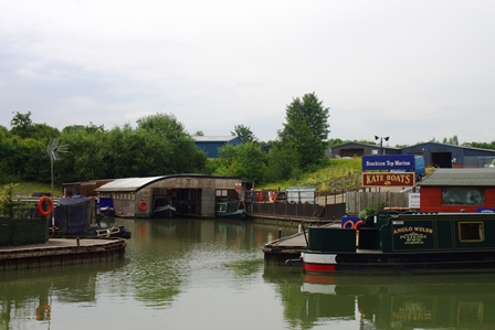
There’s a Tesco store before bridge 46 but I didn’t stop. After bridge 48 is a boatyard and Kate Boats shop and offices.
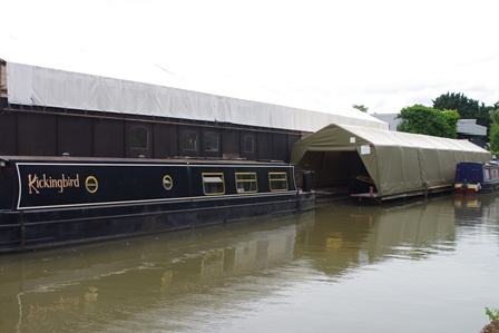

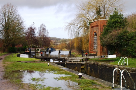
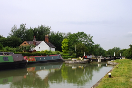
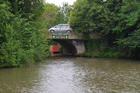
The canal is curving round the north of Warwick and next to locks 24 and 25 is the Cape of Good Hope pub. At a turn there’s a short branch known as the Saltisford Arm that is used as a marina now.
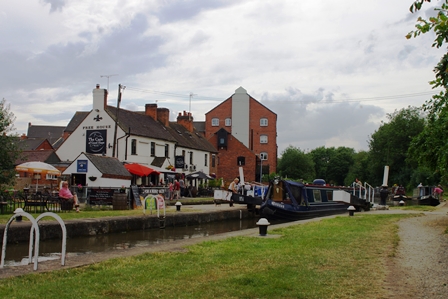
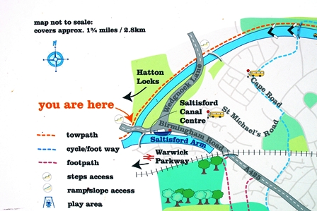
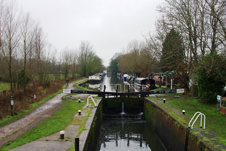
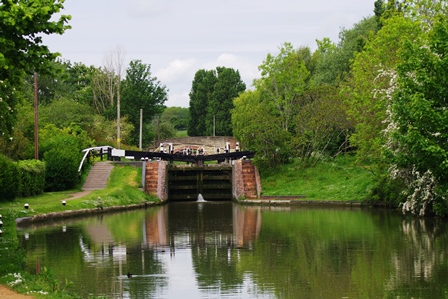
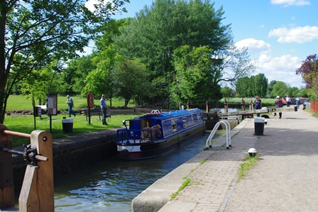
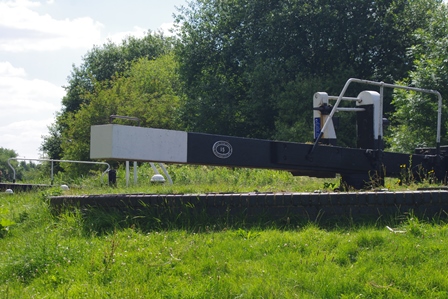
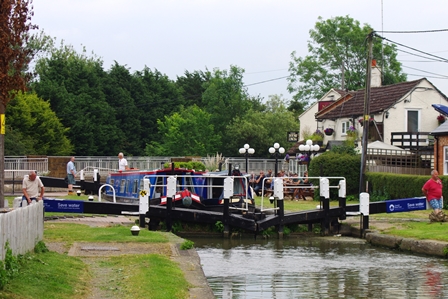
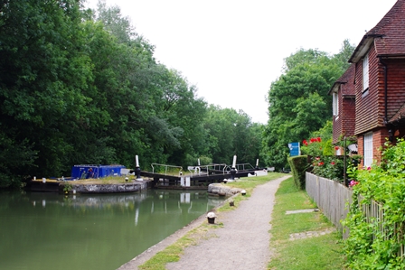
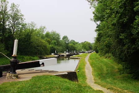
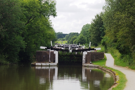
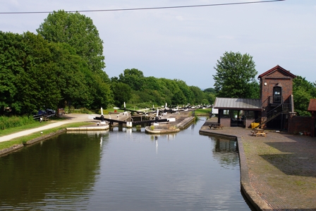
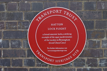
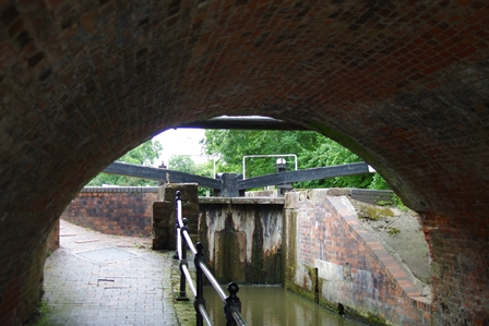
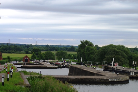
The car park for Warwick Parkway Station is next to the canal hidden behind some trees, then there’s the start of Hatton Locks (21 locks in two miles). Opened in 1799, the locks were enlarged to 14 feet wide in the 1930’s.
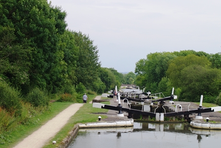
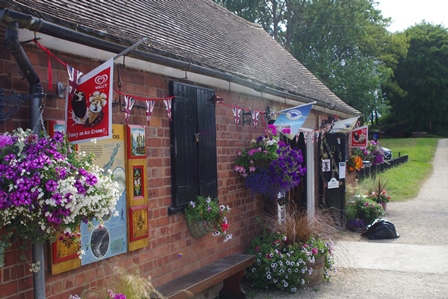
At the top there is a wharf, where the towpath crosses to the other side, and just beyond is a cafe and shop. I was in time for a cup of tea! A plaque records the details. A little further on is bridge 56 where I left the canal for Hatton Station just down the lane and took the direct train from Stratford on Avon to Marylebone.
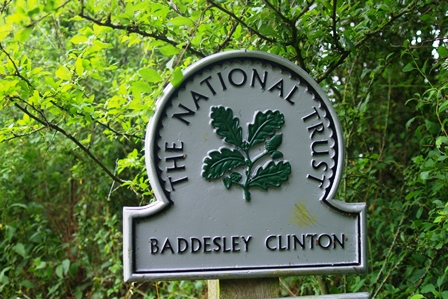
Hatton to Elmdon Heath (Solihull) – 31 July 2019 (12.5 miles plus 2 miles diversion to Baddersley Clinton (National Trust) for lunch)
I was back on the train from Marylebone to Hatton for this walk. The station is right by the canal.
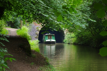
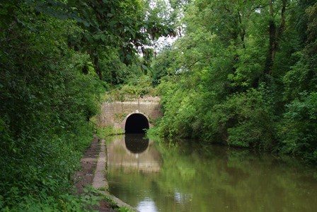
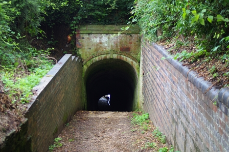
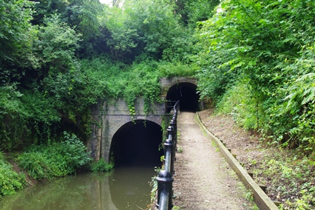
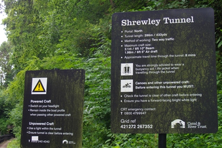
Very soon is Shrewley Tunnel (396 metres under Shrewley Village) which has a unique horse tunnel to the north portal.
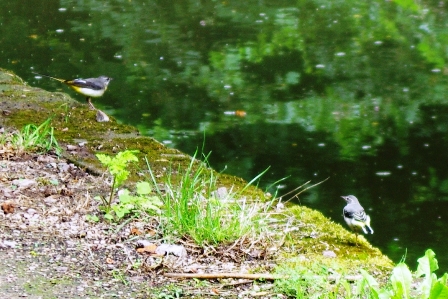
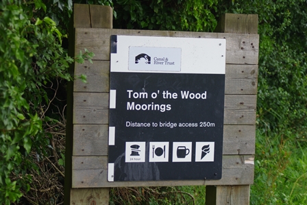
A couple of wagtails greeted me as I set out for Turner’s Green and Tom o’ the Woods moorings and pub.
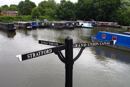
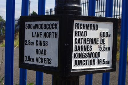
A little further on was Kingswood Junction where there’s a link to the Stratford upon Avon Canal. I walked round the link into Lapworth Village.

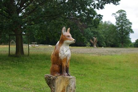
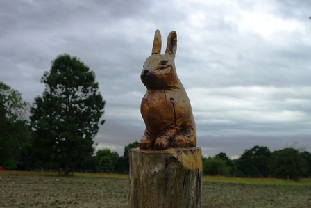
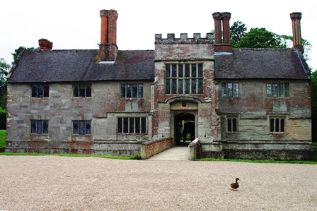
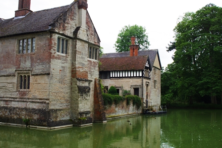
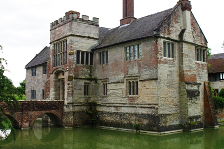
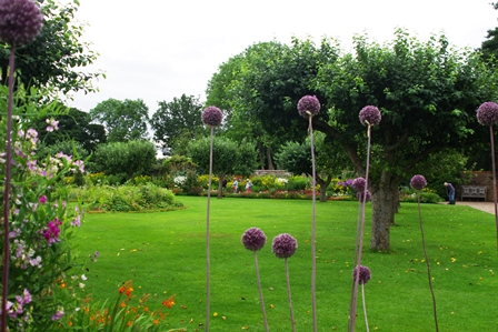
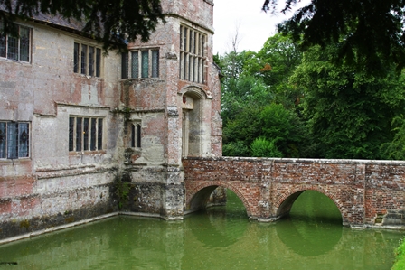
Here I made a two mile diversion across fields to Baddersley Clinton House and back for lunch (soup and bread). There are carvings of animals in the grounds and the house is set in a moat.
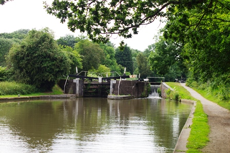
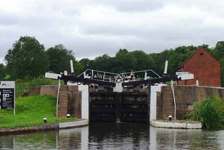
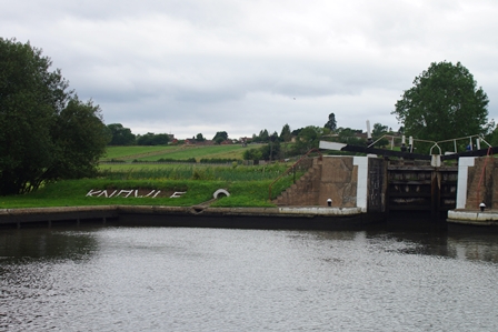
I returned to the towpath at Lapworth. The next feature on the canal was the Knowle Locks flight (5 locks also widened in the 1030’s with remains of the narrow locks still to be seen) and just before that, the Black Boy and King’s Arms pubs.
Here a sign told me I had another 13 miles to get to Birmingham although not all on this day. A tranquil stretch was briefly disturbed by the M42 motorway next to Copt Hill Wharf.
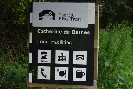
Bridge 78 is at Catherine de Barnes village and the canal swings to the west round Solihull. There’s an atmospheric cutting leading to bridge 79 at Elmdon Heath where I left the canal to get the X12 bus to Solihull Station and my train back to Marylebone.
Elmdon Heath to Gas Street Basin (Birmingham) – 12 August 2019 (9 miles)
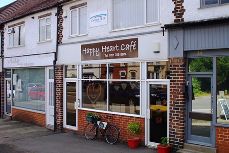
I took the train back to Solihull and the X12 bus to Elmdon Heath (Damson Lane bridge 78). Two miles later at bridge 84 I enjoyed tea and vegetarian cake at the Happy Heart Cafe (Richmond Road, Olton).
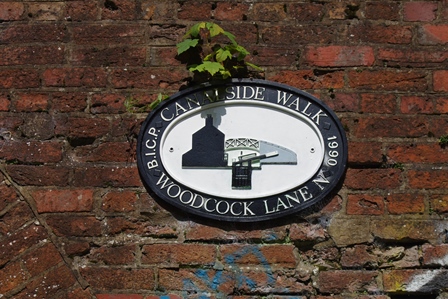
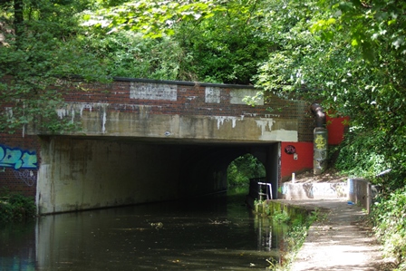
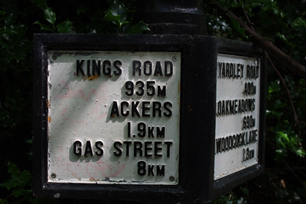
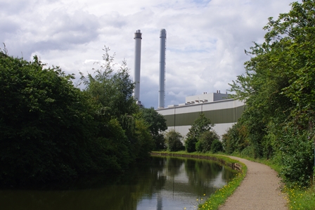
On this pleasant canalside walk there was a short tunnel at Yardley Road and not quite so pleasant waste disposal works operated by Veolia.
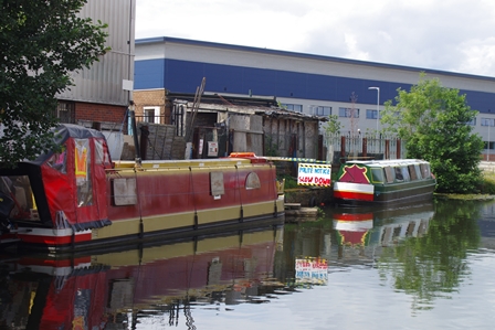
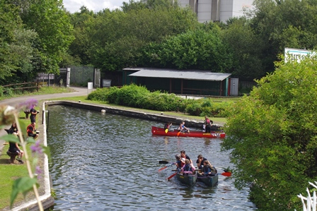
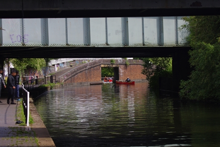
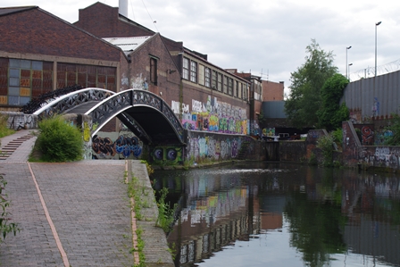
Next to a railway bridge at Small Heath was Ackers Adventure Park with youngsters enjoying canoes.

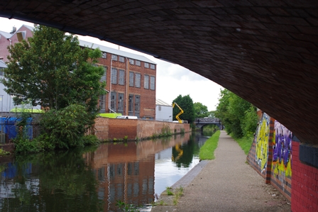
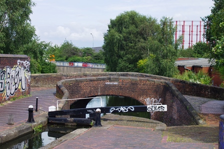
Shortly afterwards was a view of The Marlborough at Sparkbrook and some warehouses just before Camp Hill Lock number 1.
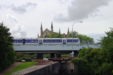
At Camp Hill Lock number 2, a Chiltern Railway train crossed en route to Moor Street Station.
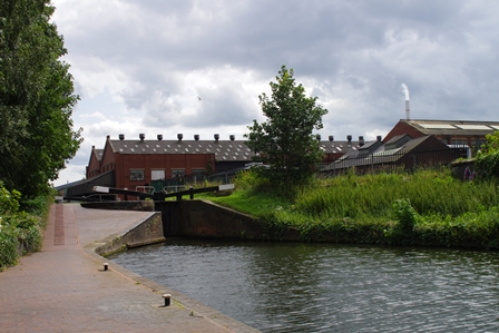
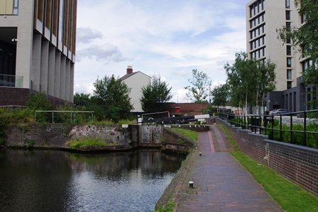
Just after Camp Hill lock number 6 (Bordesley Junction), the Grand Union main route branches off to the right towards Spaghetti Junction. My walk continued along the Digbeth Branch towards Aston.
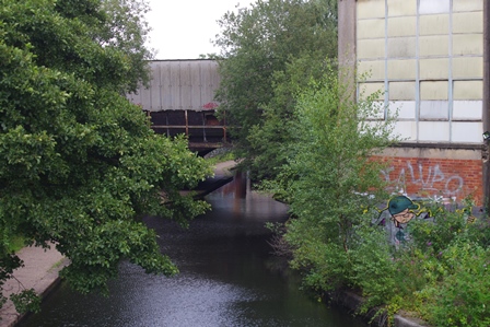
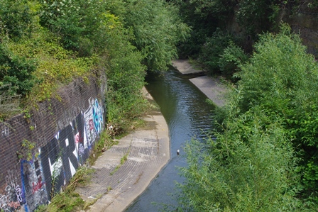
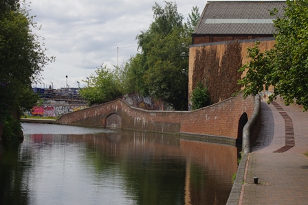
After passing under Great Barr Street there’s a small dock and an aqueduct over the River Rea.
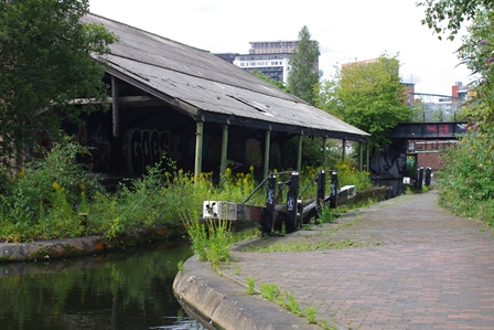
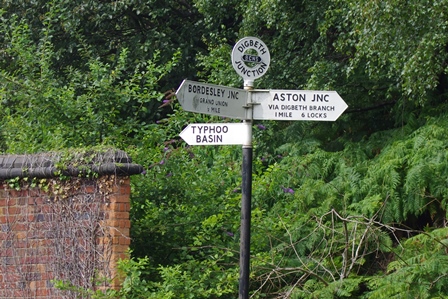
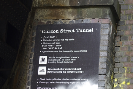
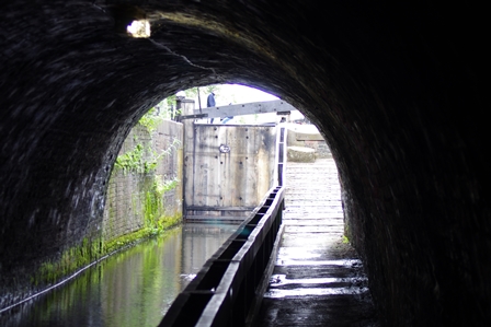
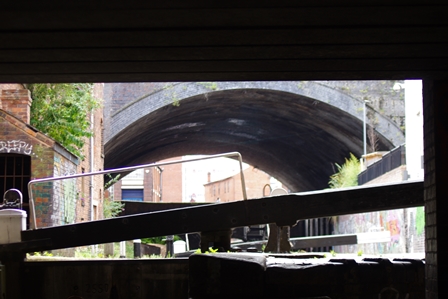
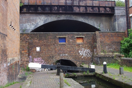
At Digbeth Junction there’s a short branch known as Typhoo Basin, then the canal curves into Curzon Street Tunnel.

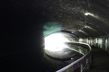
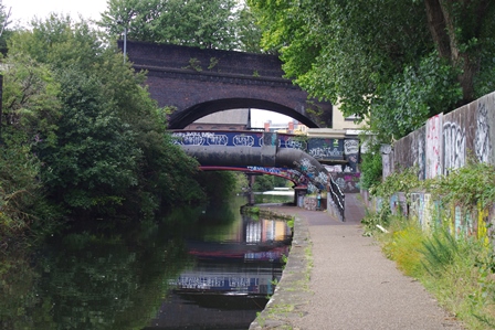
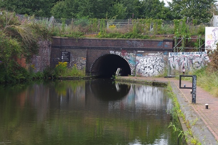
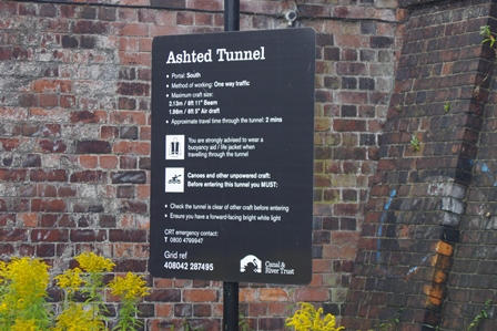
Shortly followed by Ashted Tunnel and locks.
Soon there’s Aston Junction where the route turns left along the Birmingham and Fazeley Canal.

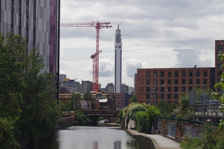
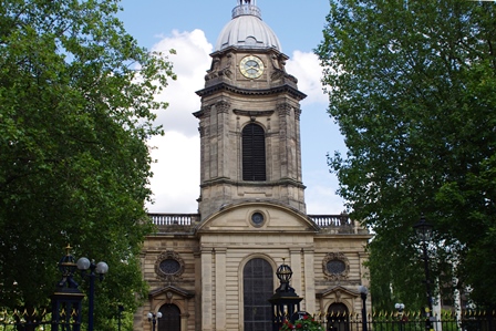
This canal is now heading towards central Birmingham with its Telecoms Tower and passing St. Chad’s Cathedral on the left.
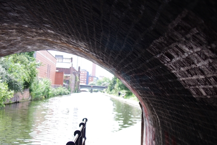
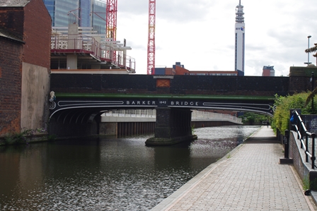
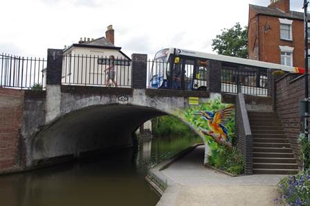
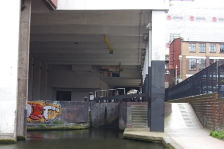
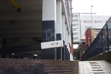
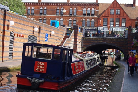
Next are Farmer’s Bridge Locks (13 in total) taking the canal under Snow Hill Station and through a multi-storey environment.
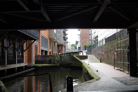
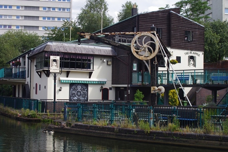
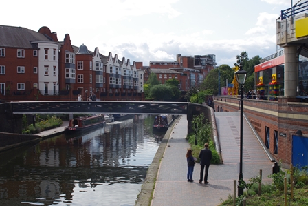
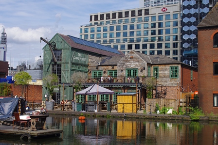
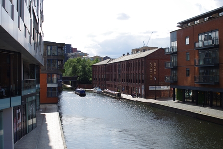
Eventually the canal emerges at Cambrian Wharf next to the Flapper Inn with a derelict crane outside.
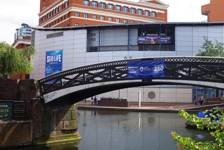
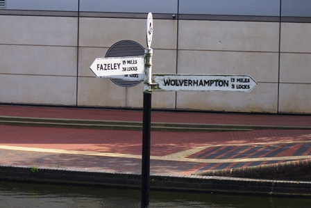
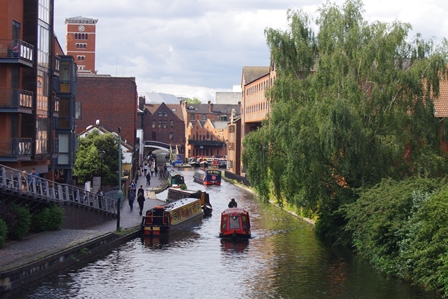
At Old Turn Junction the canal continues towards Wolverhampton on the main line or Oozells Street Loop but my route is to the left across the footbridge to get to Gas Street Basin.
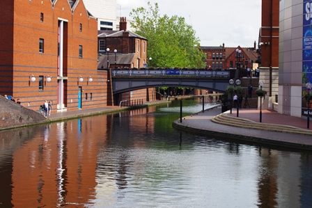
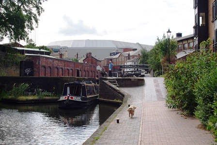
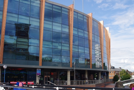
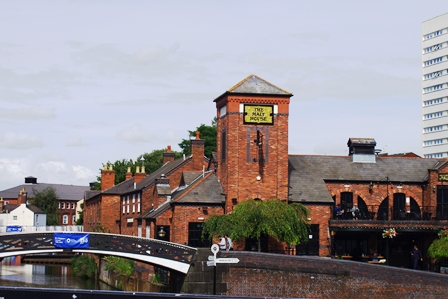
Leaving Old Turn there’s a view of the modern Arena building and the old Malt House pub.
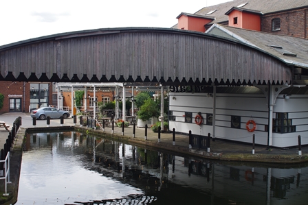
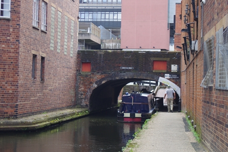
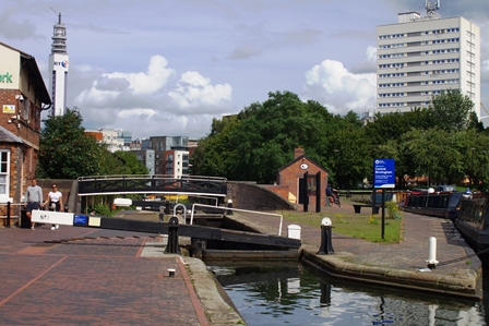
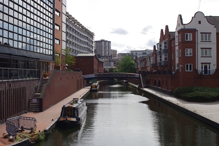
It’s only a short distance to Gas Street where once there was a physical bar preventing boats from entering the Worcester and Birmingham Canal and goods had to be transferred.
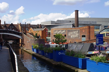
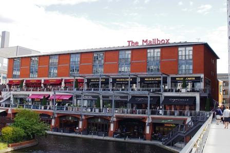
At the end of the basin is the modern Mailbox building and the Worcester and Birmingham Canal makes a sharp right turn.
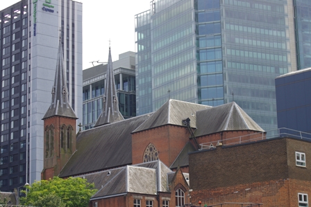
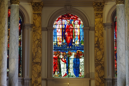
I left the canal here for a short walk to Snow Hill Station and called in to St. Philip’s Cathedral for a quick look before the train home.
End of walk!
Photographs copyright 2019 John Myerson
