An 88 mile footpath following the course of the River Avon from its source at Naseby to the confluence with the River Severn at Tewkesbury. Most of the route is way-marked apart from the section from Warwick to Stratford upon Avon. The complete route is shown on a map here. The supporting website has details of the guide book for the whole trail. Unfortunately it’s not functioning at present (May 2020,) but will be back. There’s a Heritage Trail map for Stratford riverside available to download.
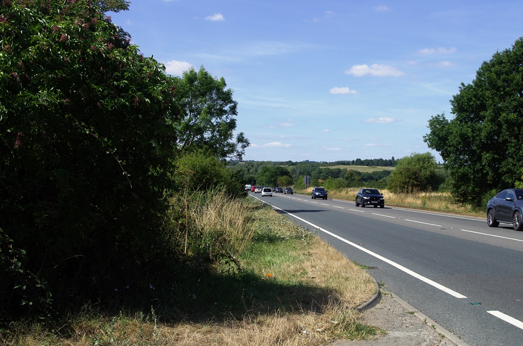
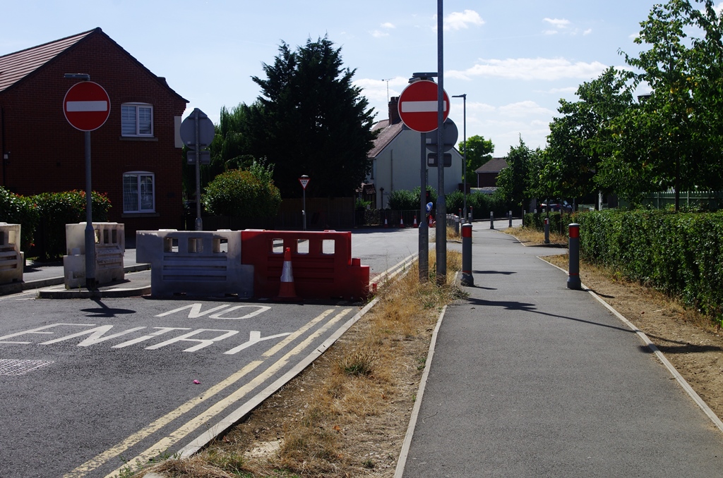
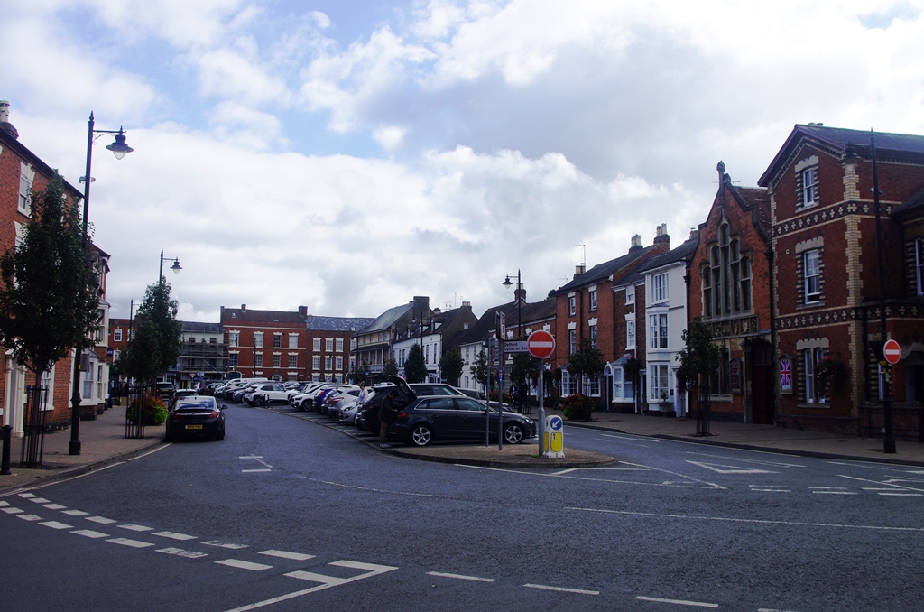
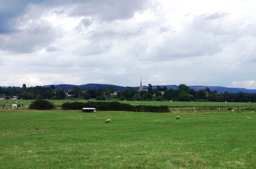
Stratford upon Avon to Bidford on Avon – 8 October 2019 (9.5 miles)
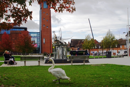
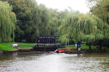
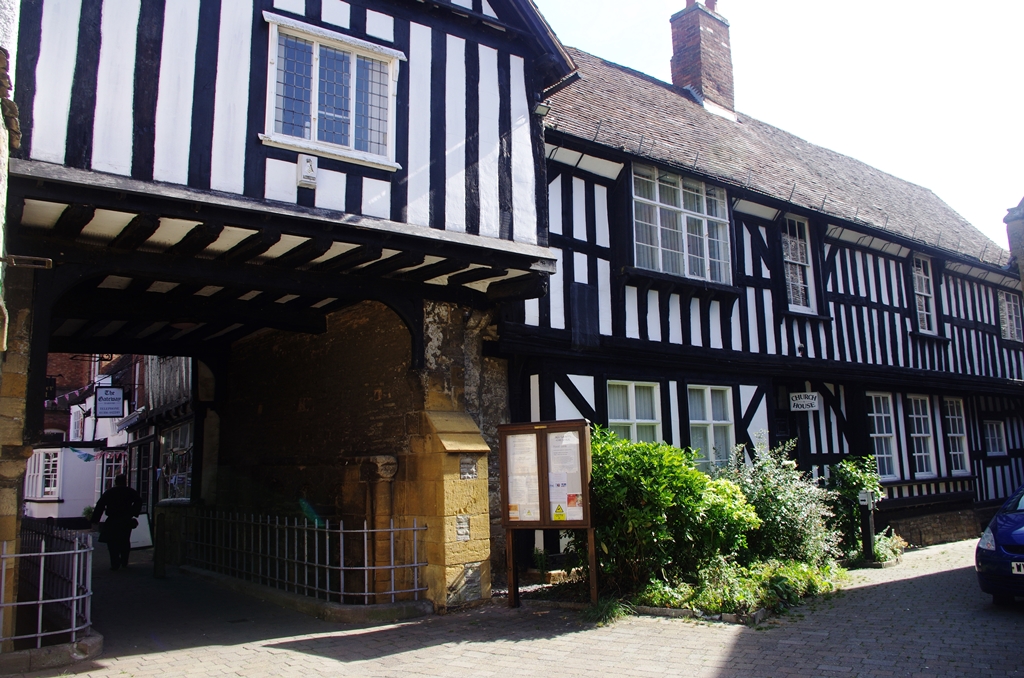
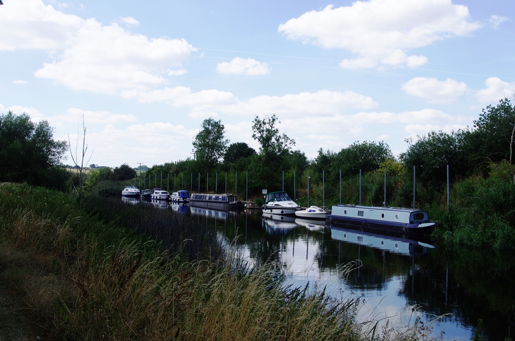
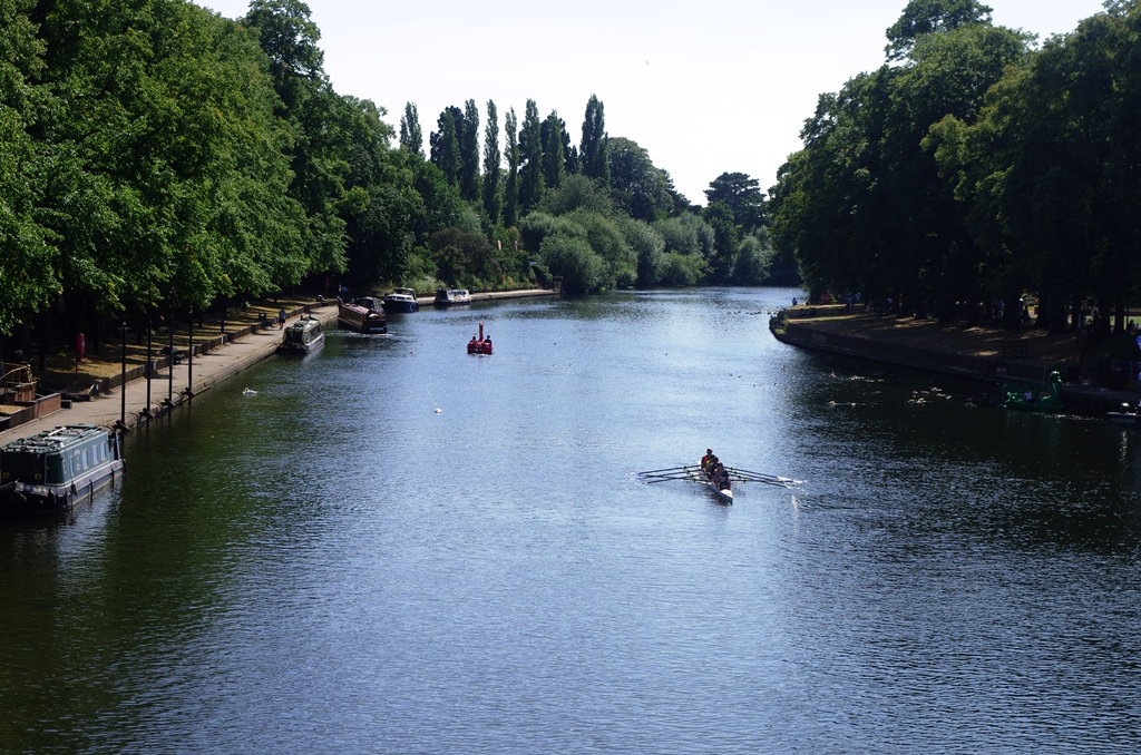
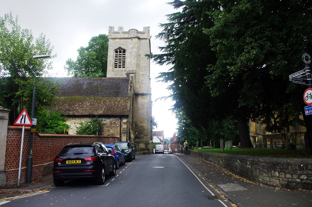
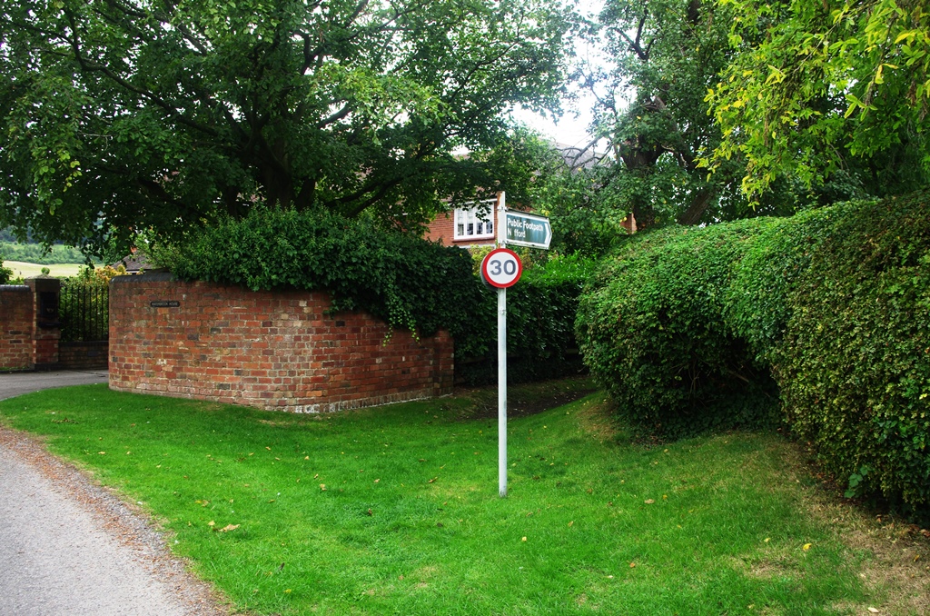
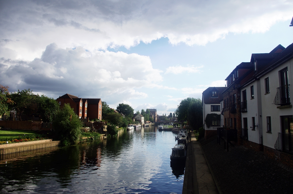
I started from Stratford Station having travelled via Solihull from Marylebone and walked into the town centre. I joined the route at Bancroft Basin where the Stratford upon Avon Canal meets the River Avon. I managed to photograph a swan wandering past the swan sculpture! The first lock (Colin P. Witter, originally called Lucy’s Lock, it was renamed after the benefactor who paid for its rebuilding in 1974) is opposite Holy Trinity church.
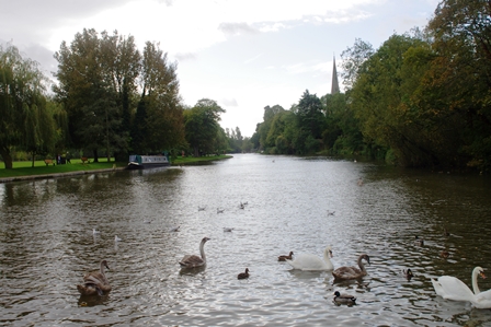
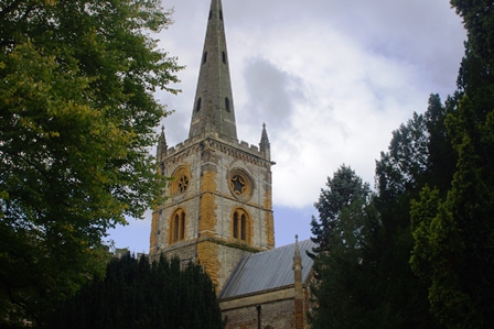
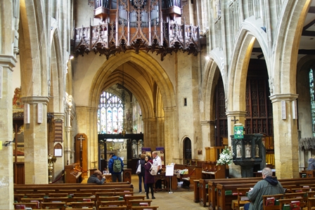
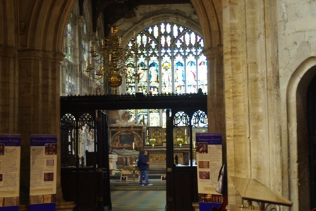
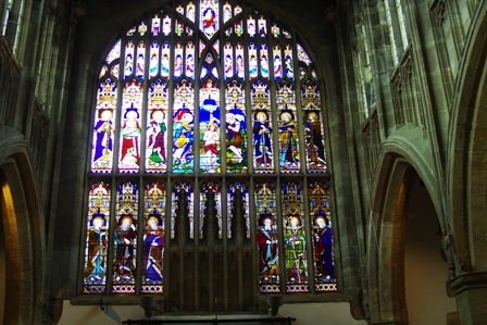
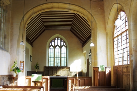
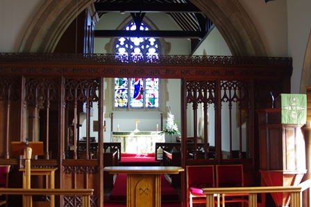
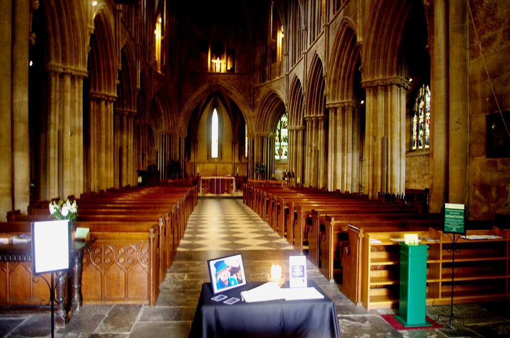
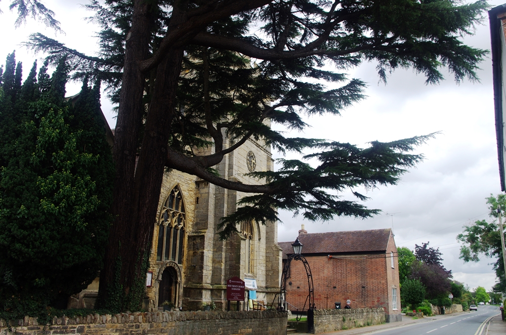
Holy Trinity church is right by the river and was the location for Shakespeare’s Baptism and Burial. The interior was worth a small diversion.
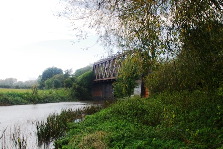
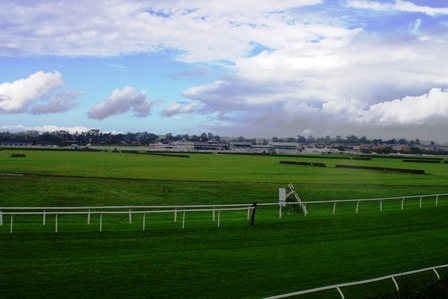
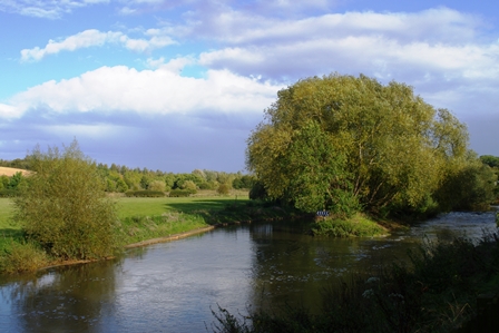
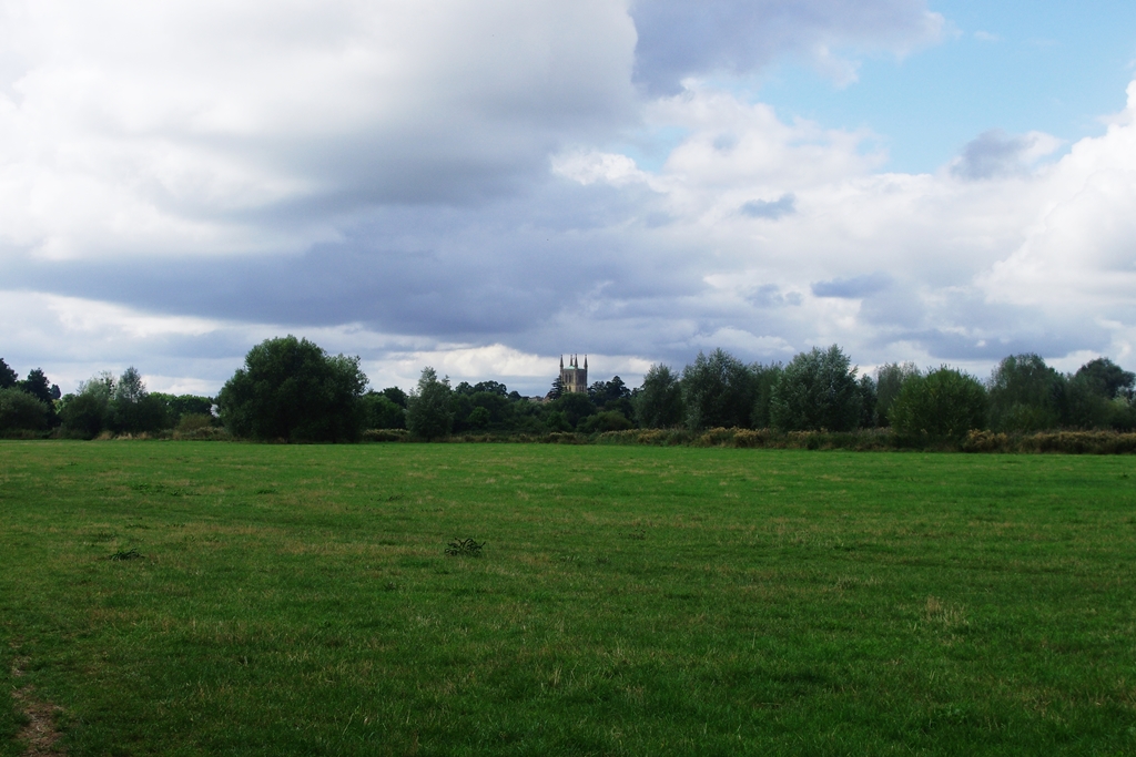
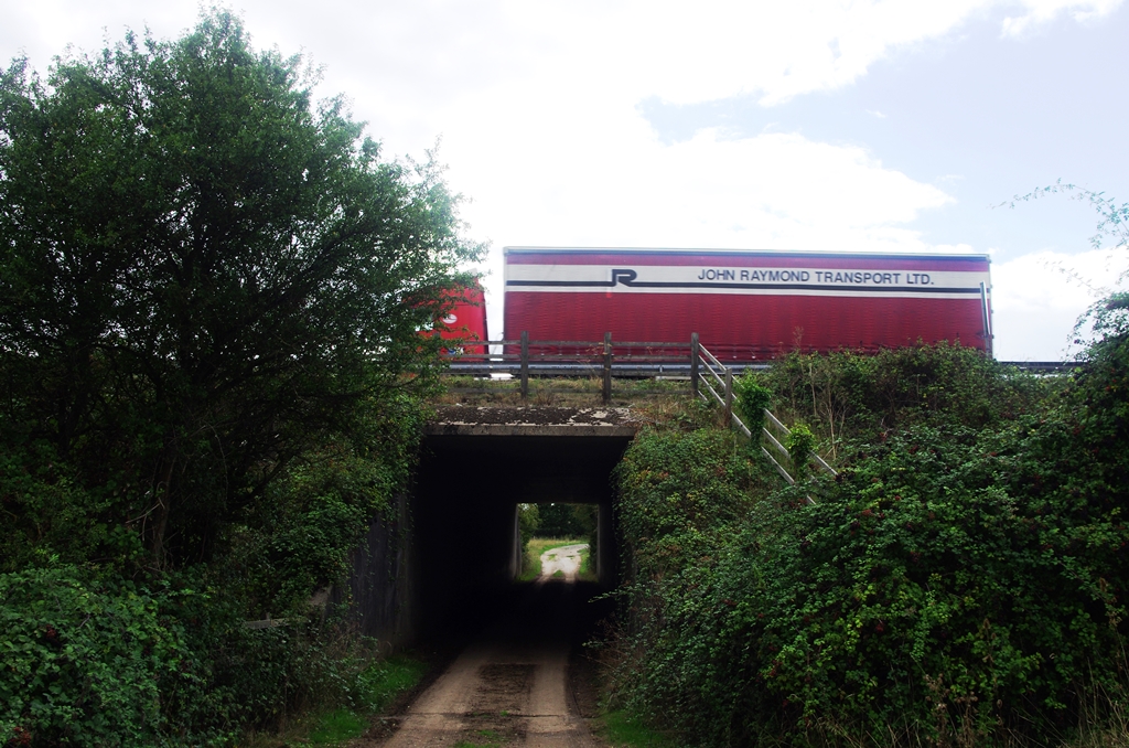
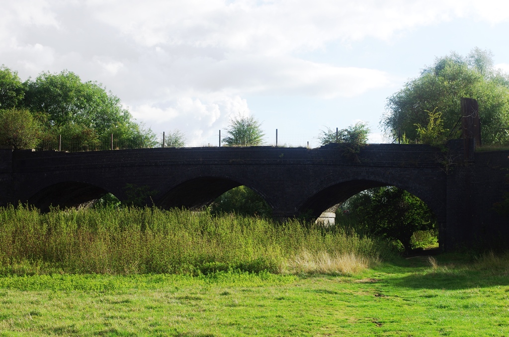
After this the “official” route crosses a footbridge to the opposite bank but I stayed on the north bank to see the racecourse and cross the river on the former railway bridge. This GWR railway ran from Stratford to Honeybourne and Cheltenham (closed 1976). A plan of the lines nearby is here.
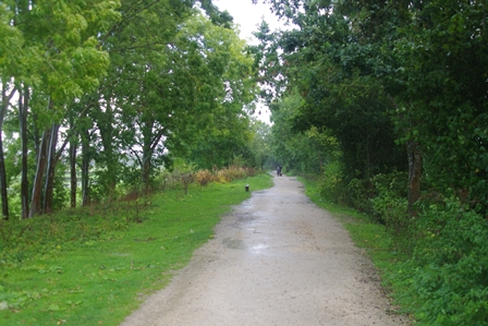
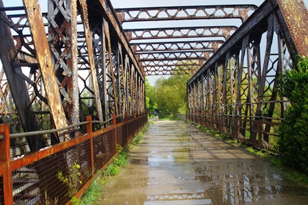
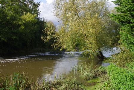
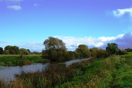
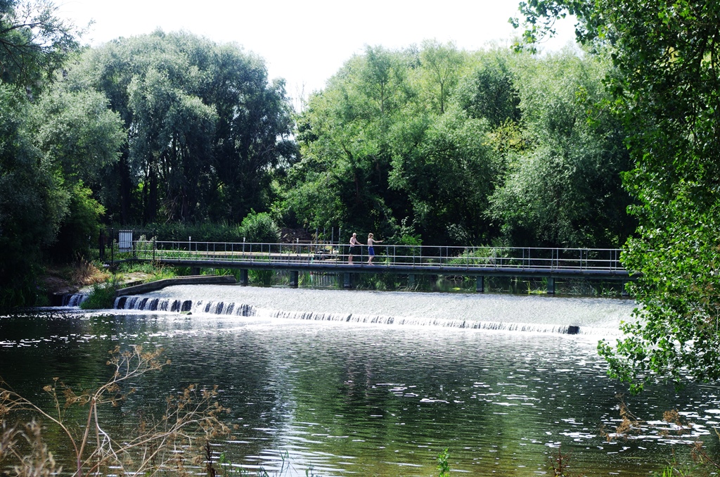
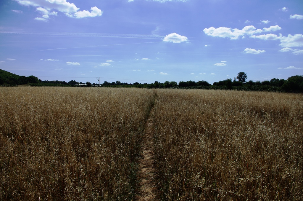
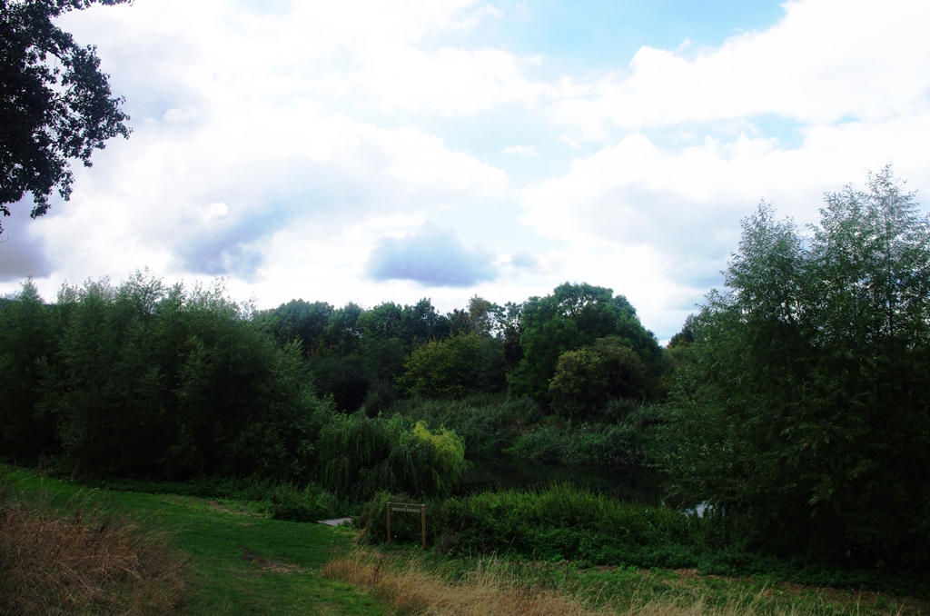
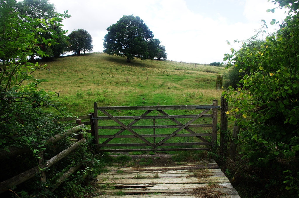
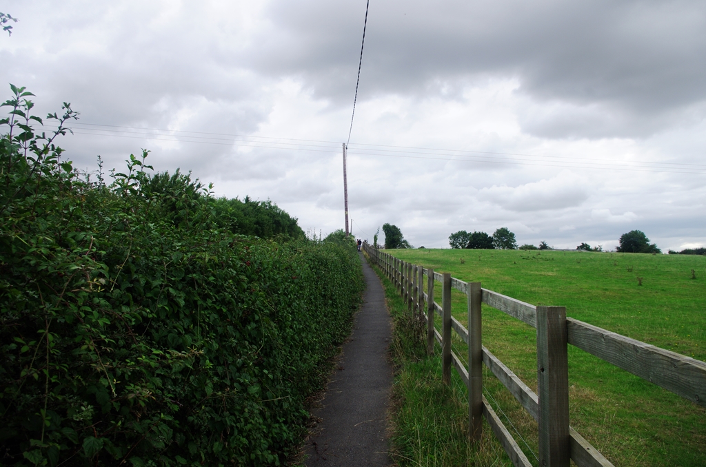
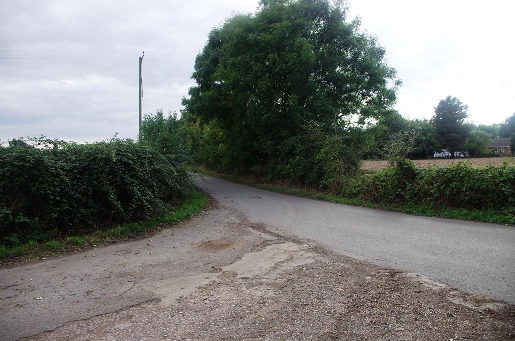
After crossing the river I followed the former railway for a while then dropped down to the meadows by the river and across a footbridge. This path seemed little used (long and wet grass after the rain!) and I could have stayed on the railway path (the Greenway) for longer and turned off after Luddington Lock.
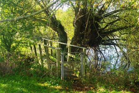
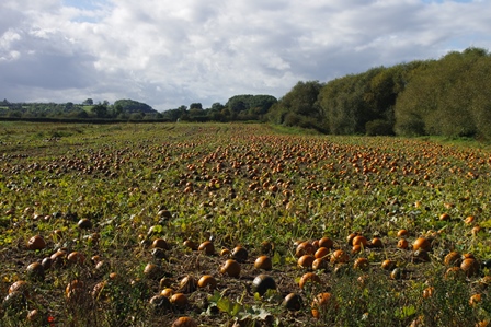
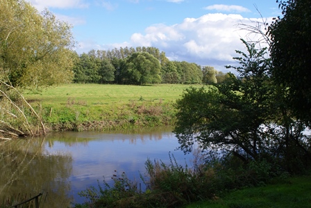
Near Luddington Lock the path went away from the river a little and past a field full of pumpkins.
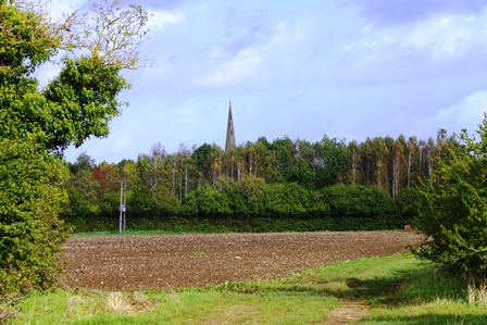
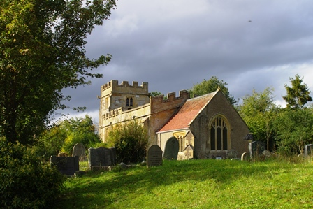
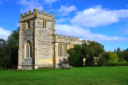
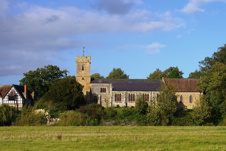
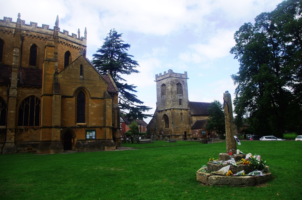
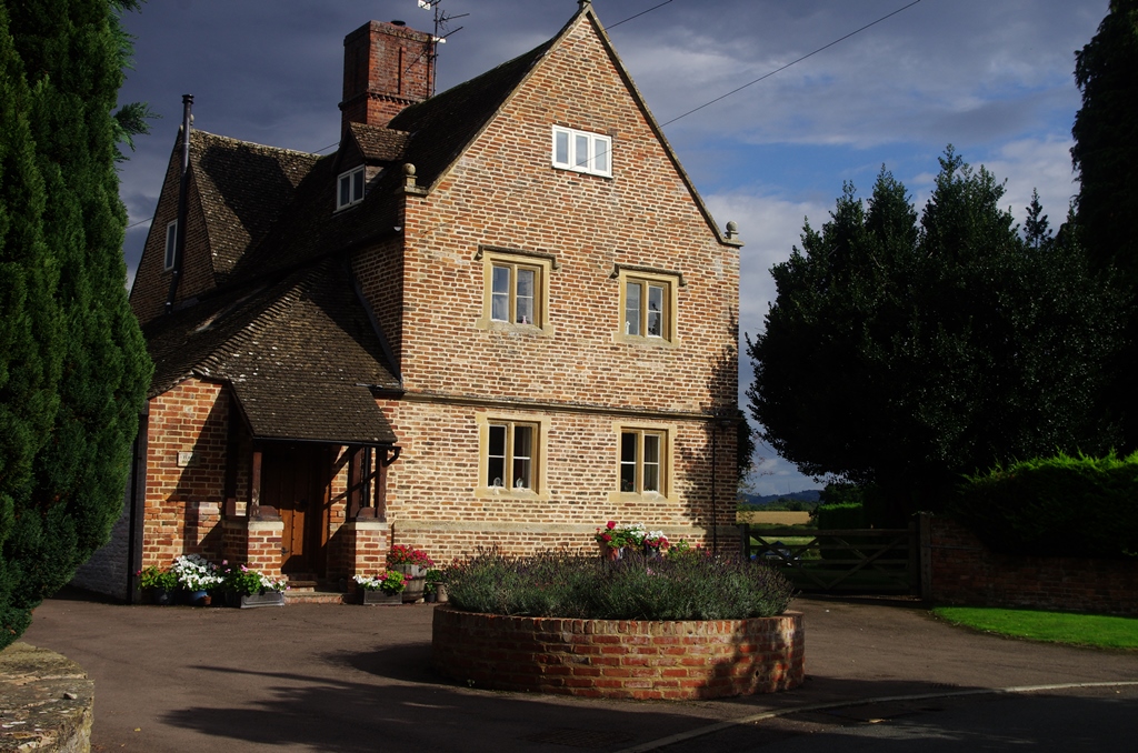
At Weston on Avon is a lovely little church. All Saints is a grade I listed building built in the 15th century. The village is small but the church is active.
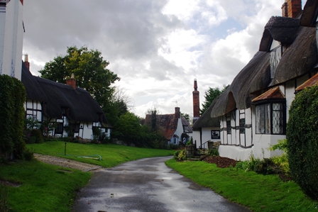
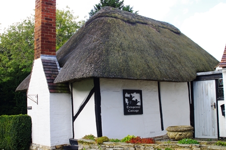
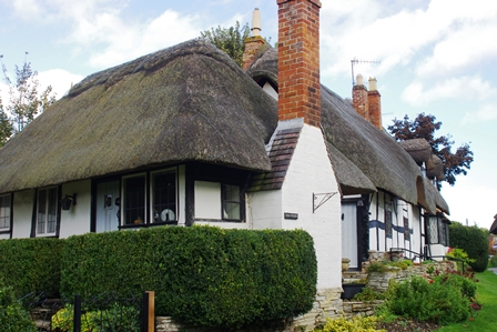
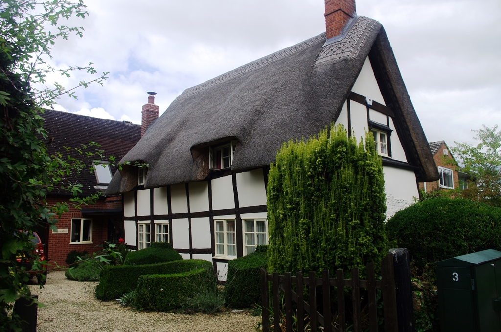
Next is the larger village of Welford on Avon with lovely cottages and St. Peter’s Church. A church on this site has existed since 1059, when Welford was given by Sweyn, Earl of Gloucester, to the Saxon priory of Deer Hurst (on the Severn below Tewksbury). Monks from Deerhurst built a small church on the present site of Welford Church. All that remains of that Church is the bowl of the font. Between 1100 and 1170 a Norman Church was built to replace the Saxon one. After the Hundred Years War (1336 – 1441) St Peter’s passed to the Abbey of Tewksbury and the Benedictine monks restored the Church and rebuilt the chancel with its perpendicular decorated Gothic windows.
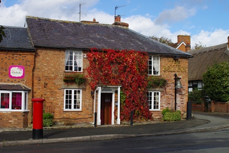
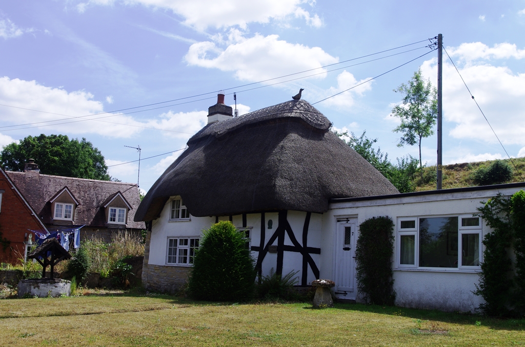
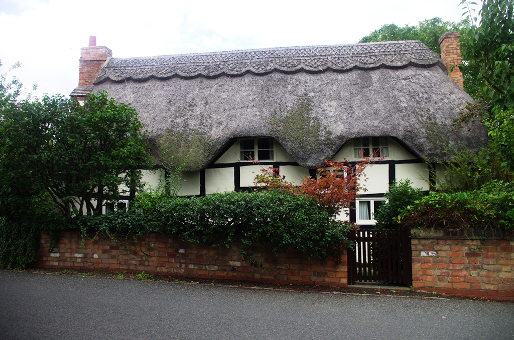
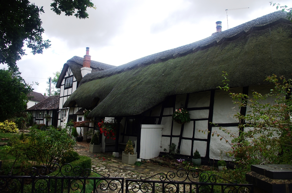
Just past the church is Ten Penny Cottage, made famous by being featured on tins of Cadbury’s Chocolates.
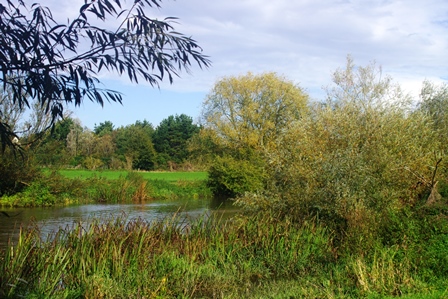
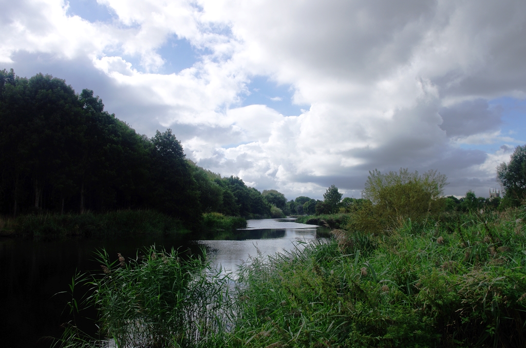
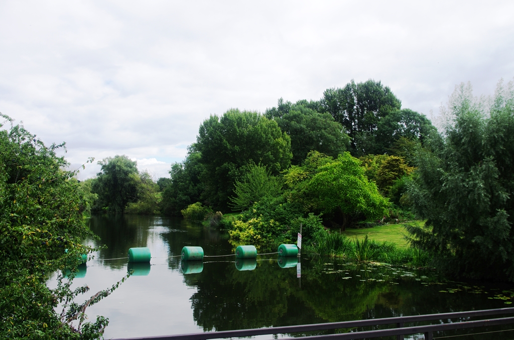
The path continues from the end of the village along the river near Welford Lock. The path at times is quite high above the river.
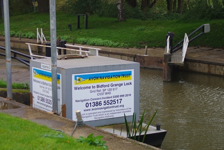
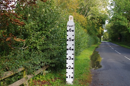
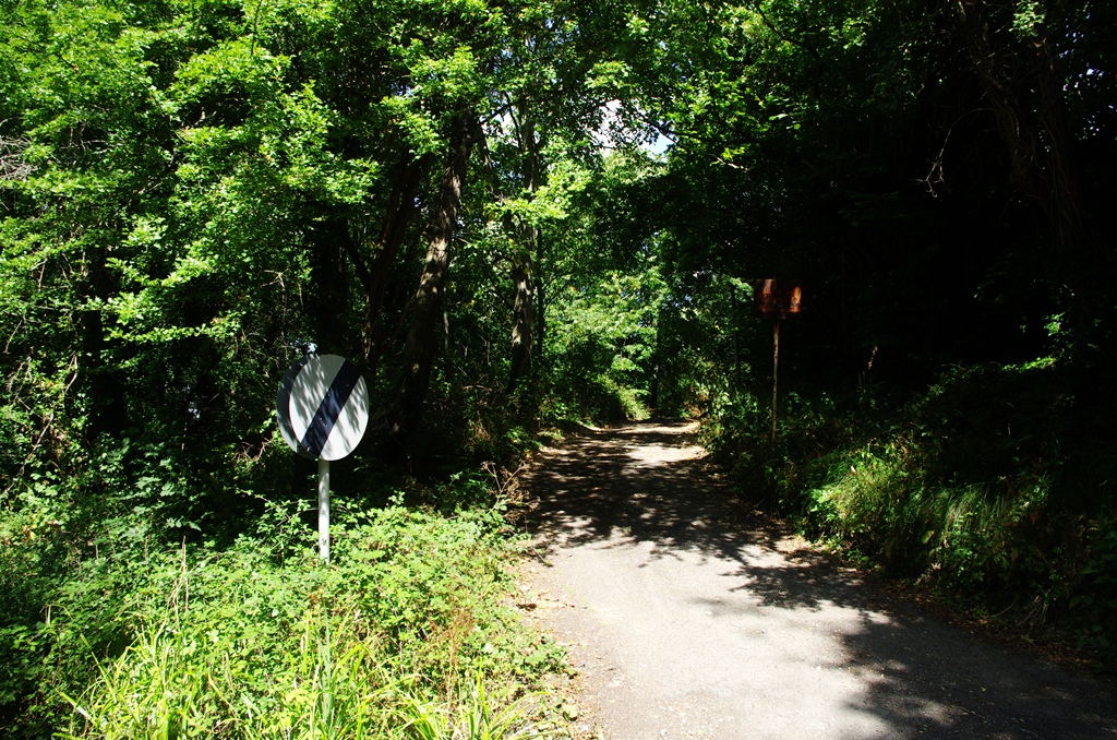
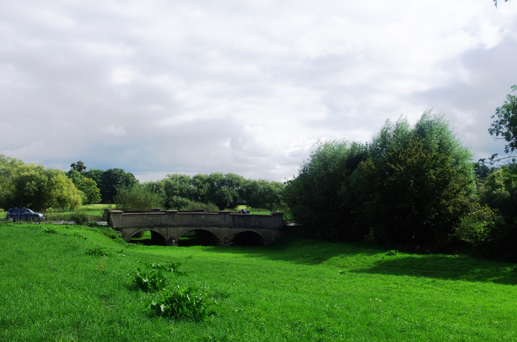
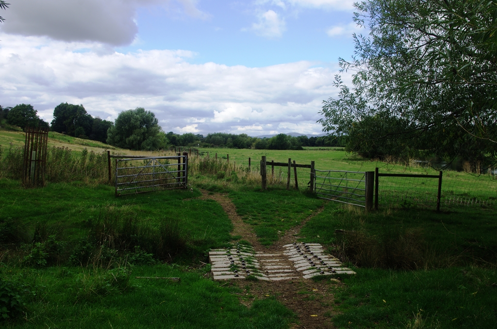
The next lock is Bidford Grange, then the path turns to join a road. The flood marker shows what might have been when the river flooded recently (Spring 2020).
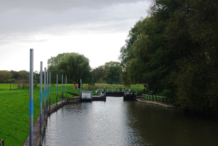
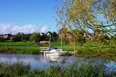
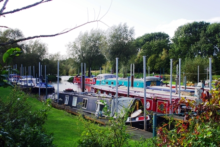
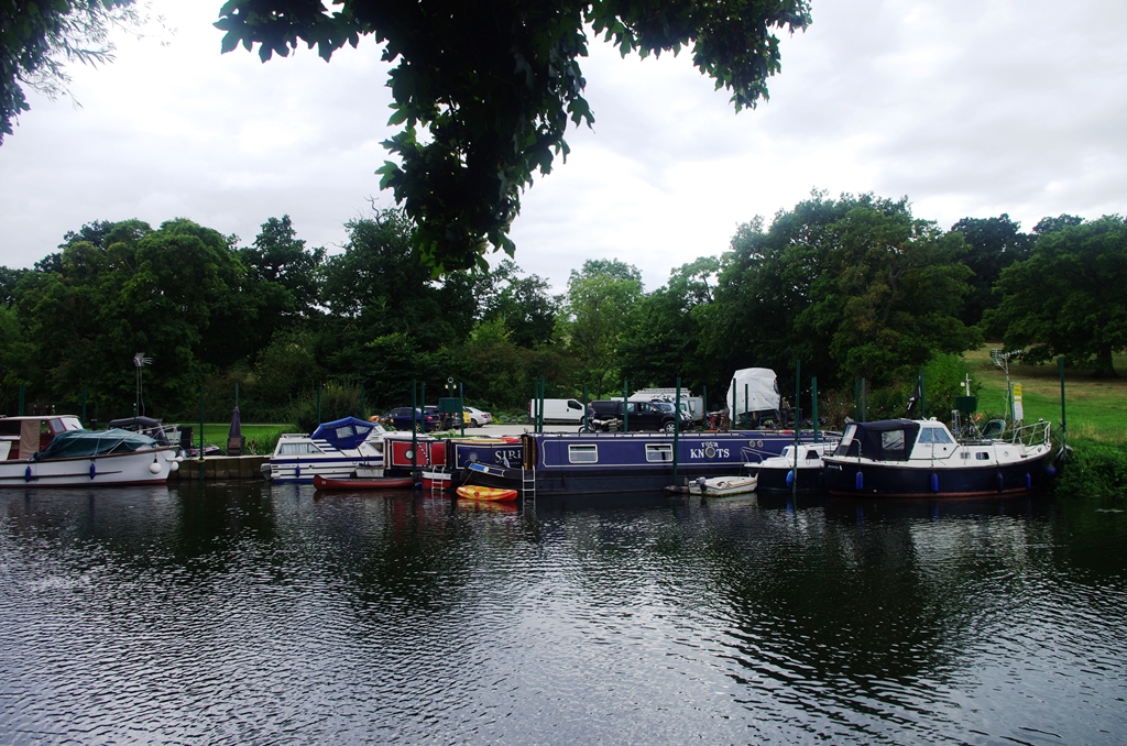
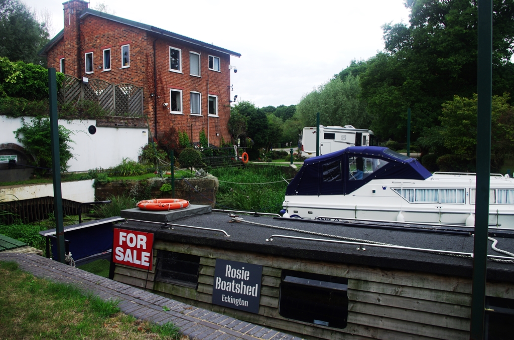
The route turns right in the hamlet of Barton after a small marina and goes down a track to Barton Lock.
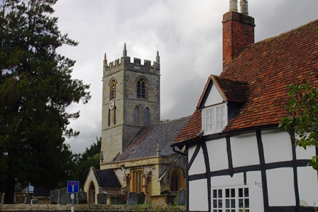
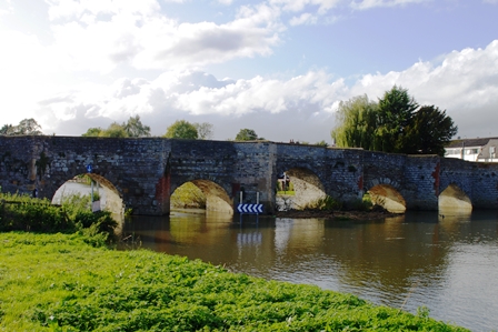
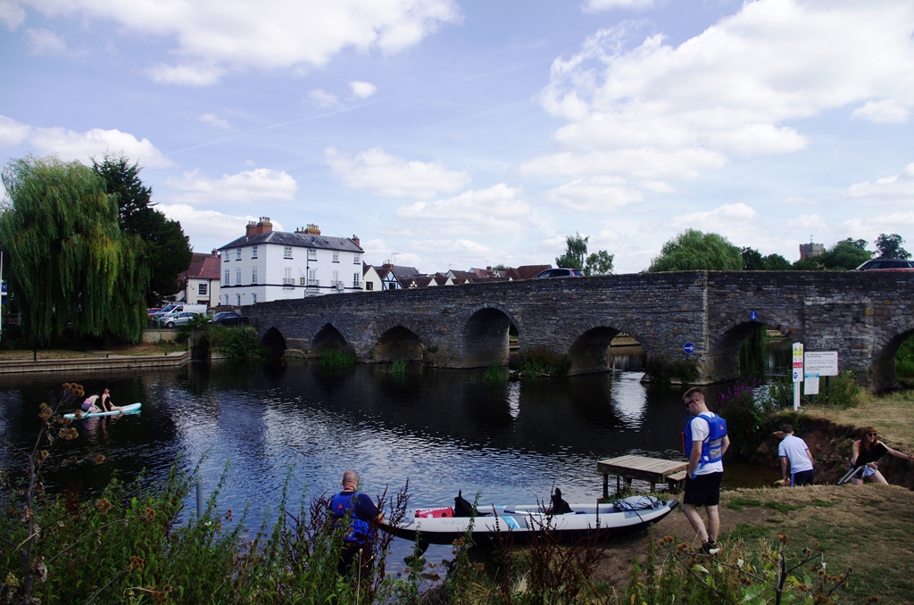
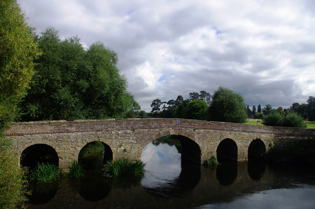
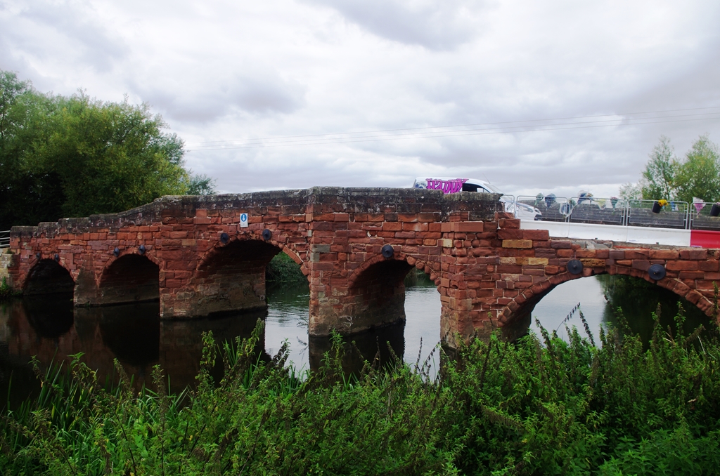
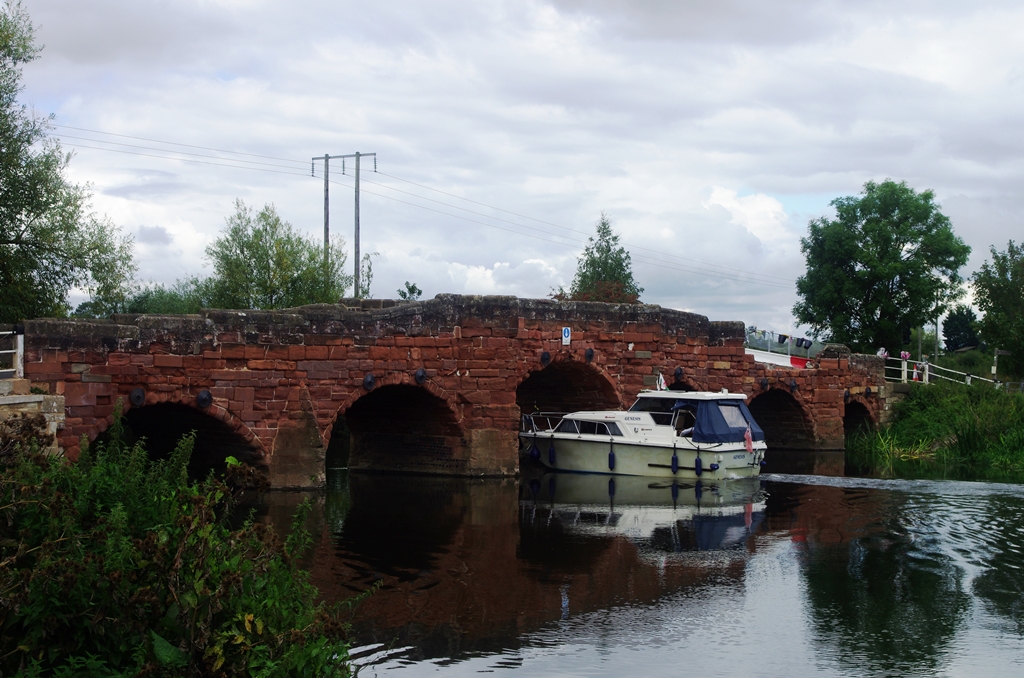
The path is fairly near the river then crosses a meadow opposite Bidford on Avon church then arrives at the narrow bridge.
In the village I turned right along the High Street to the bus stop by the church. After 13 minutes ride on the X18 bus, I was back in Stratford and walked to the station for the train home.
Bidford on Avon to Evesham – 6 August 2022 (8 miles)
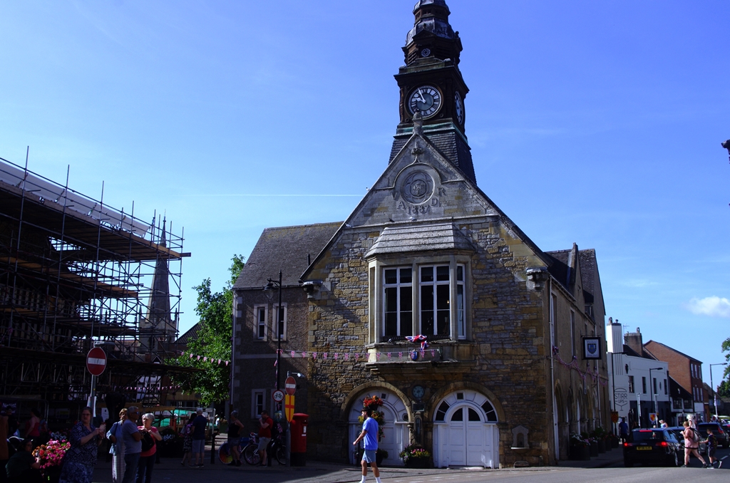
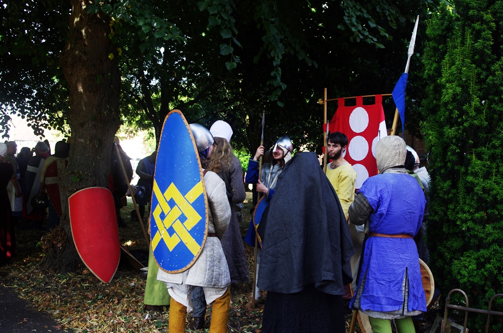
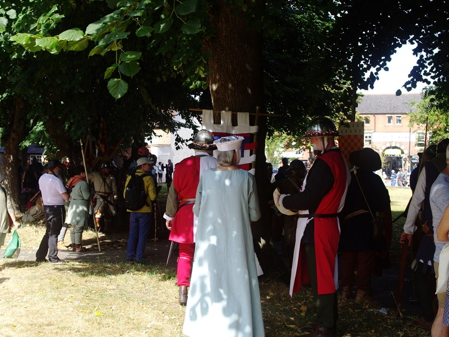
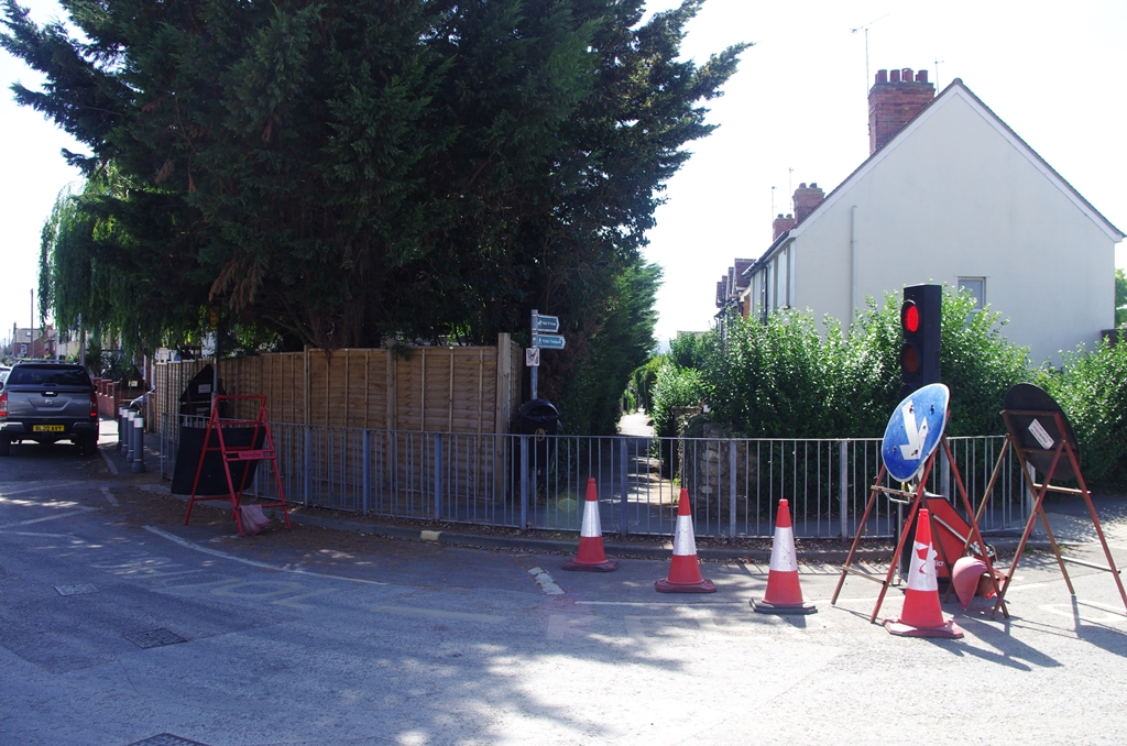
I was intending to walk to Pershore from Bidford on this day but the X18 bus at 10:18 did not turn up. The next bus due at 11:18 was 30 minutes late so I just walked back to Evesham on what turned out to be a hotter day than forecast. While waiting for the bus I had a look around the town. There was a medieval fair going on.
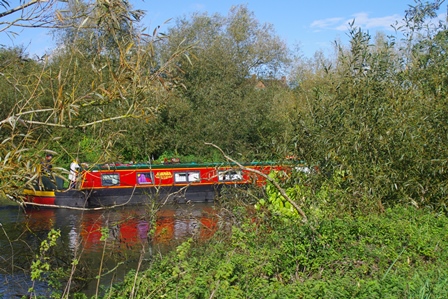
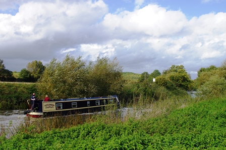
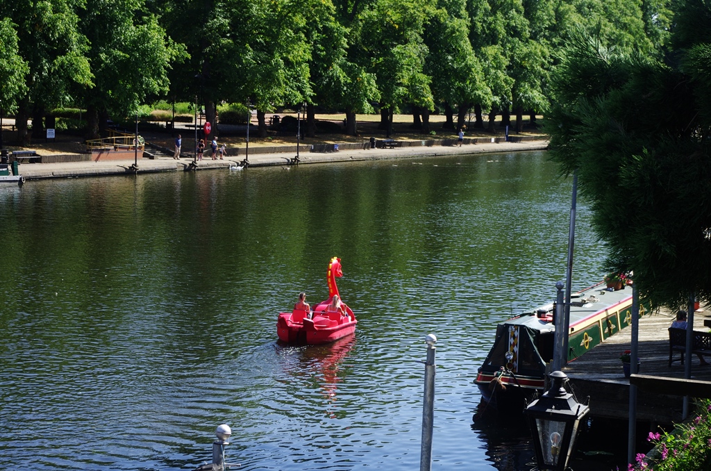
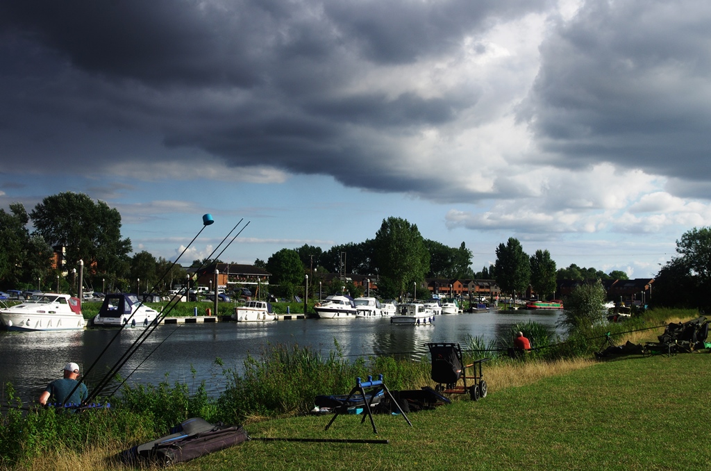
At Bidford there were plenty of people enjoying the meadows and the use of inflatables on the river.
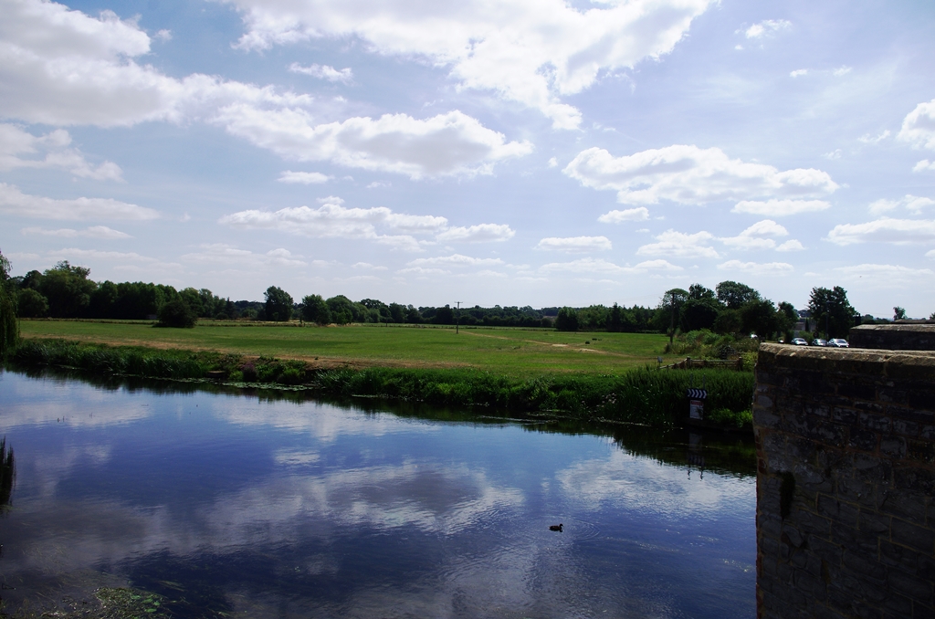
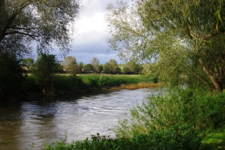
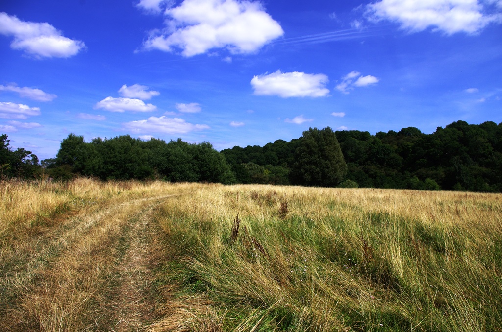
There are good views of the river from the path.
At the end of the meadows the footbridge over a side stream had been destroyed recently by fire. Fortunately, someone pointed out another place to cross just 50 metres away. There was a mangled gate and concrete slab that got me to the track to Marlcliff with its pretty cottages.
The path turned off right by the cottage and climbed above the cliff. Soon I crossed the lane (derestricted!) into Cleeve Prior.
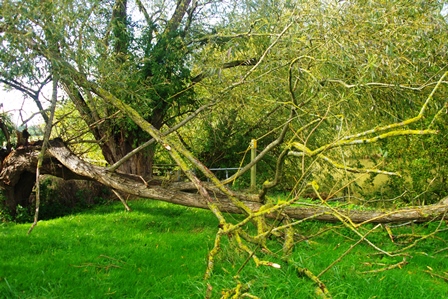
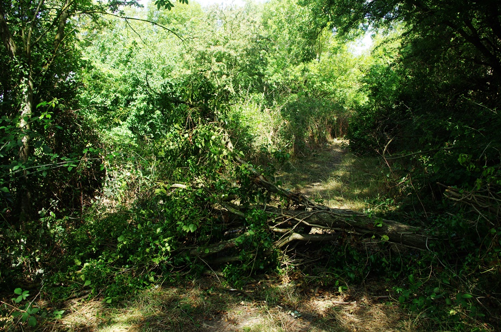
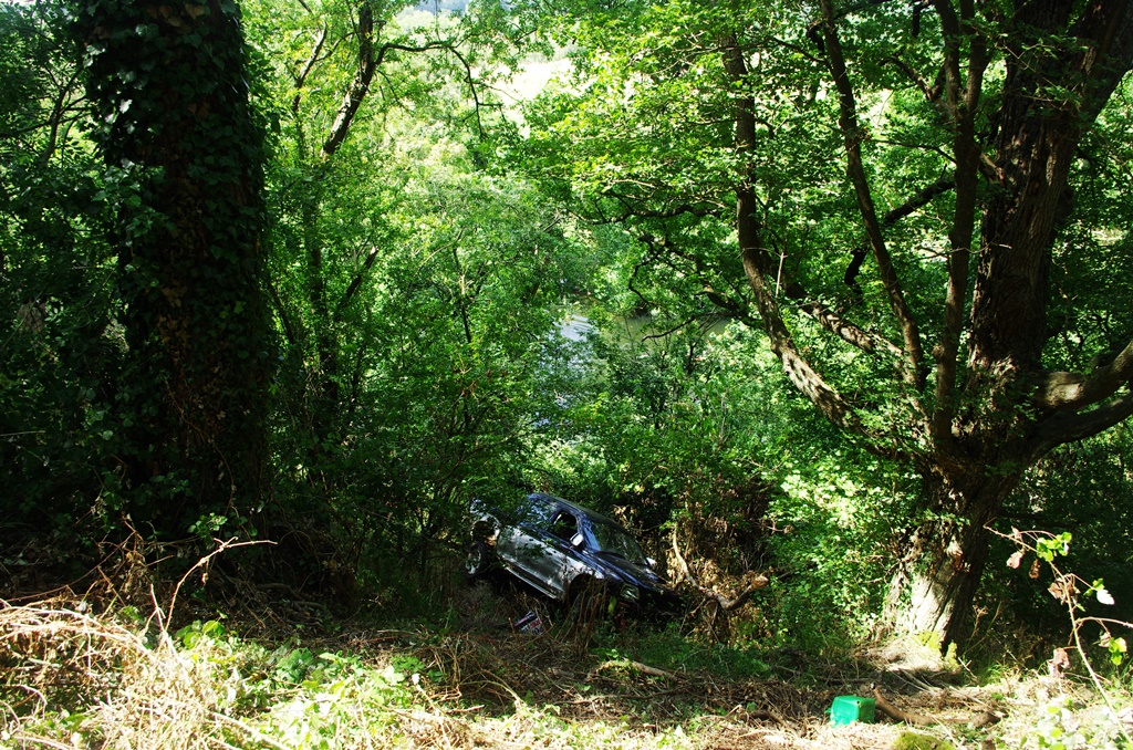
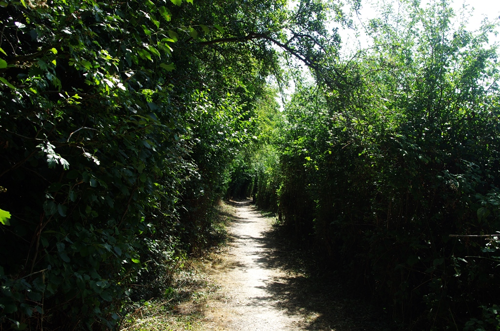
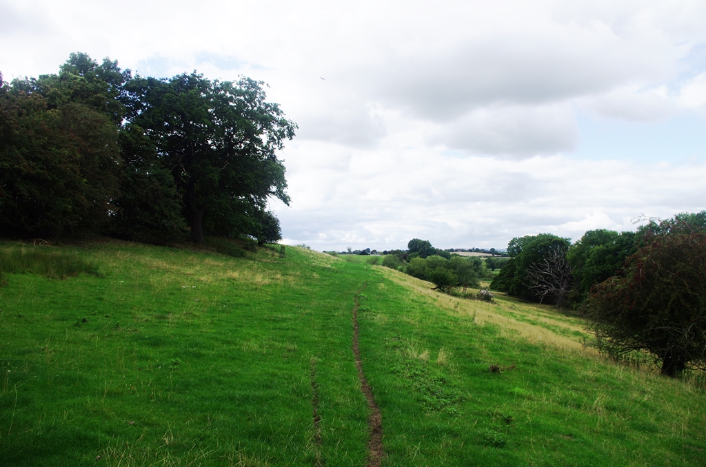
The track continued slightly uphill for a way with a fallen tree across it and later an abandoned vehicle and trailer! After a narrow section with nettles alongside a field the track went down steeply to the riverside.
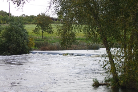
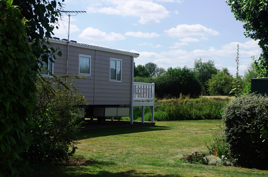
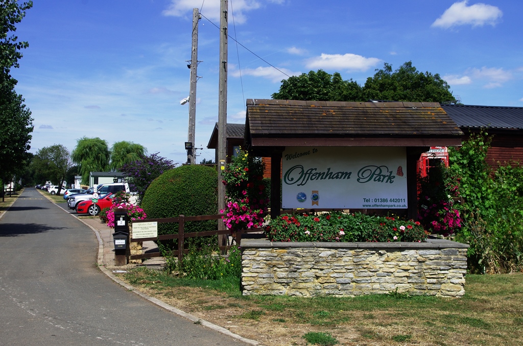
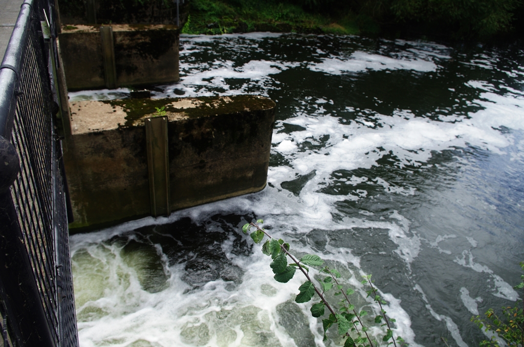
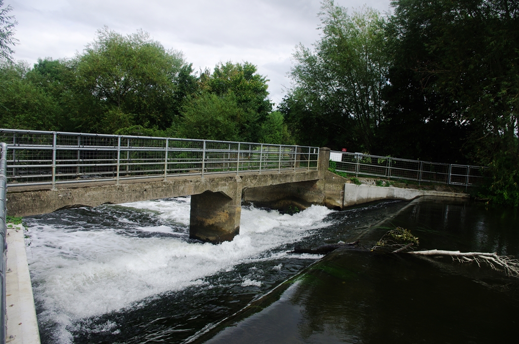
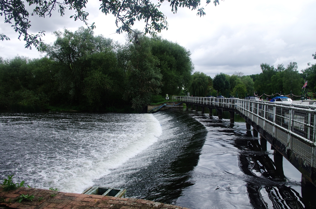
After a mile or so the track went past Harvington weir then through a caravan site.
Just before crossing the B4510 there was a view of Offenham lock. On the other side of the road the path cuts across the corner of a field to a track leading back to the road.
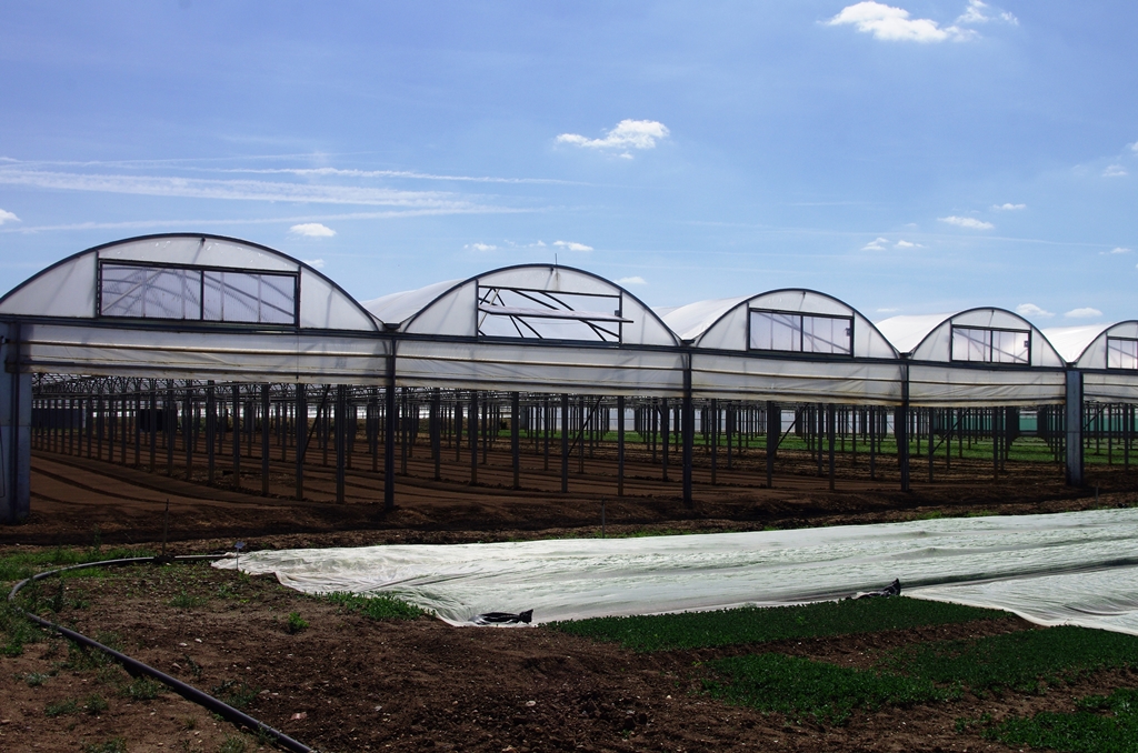
On the other side of the road, the path goes through horticultural land with large greenhouses. Eventually, I reached Offenham village and turned left.
After crossing more horticultural land the route crosses the A46 (Evesham by pass). Fortunately there’s a marked central reservation but it’s still a difficult crossing!
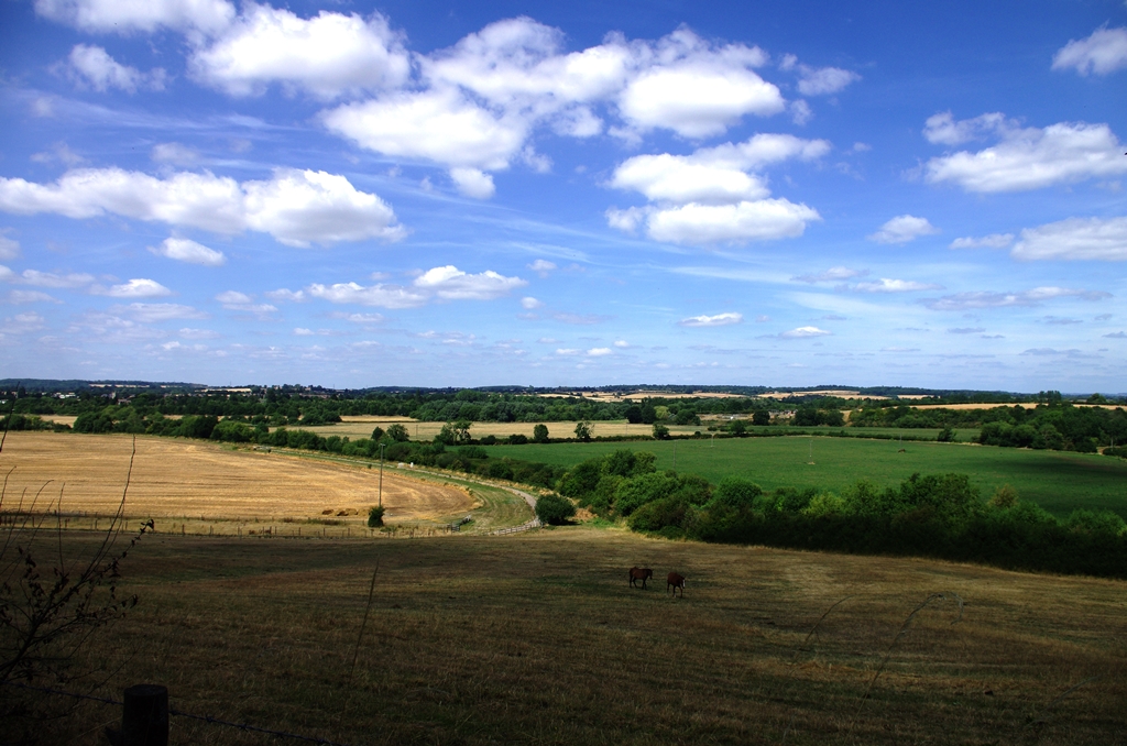
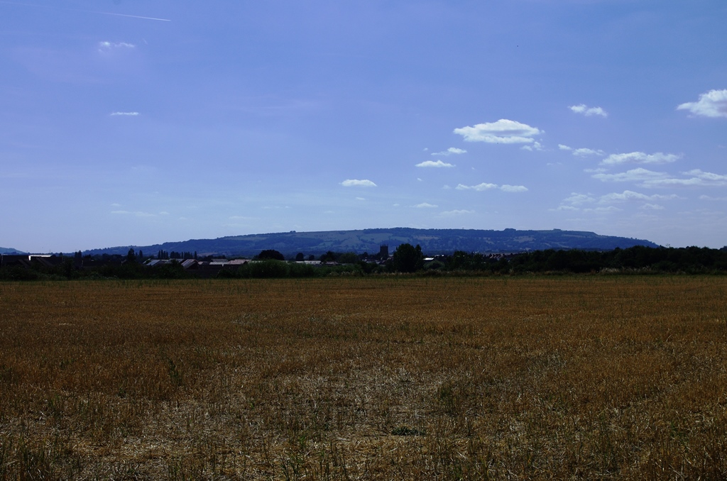
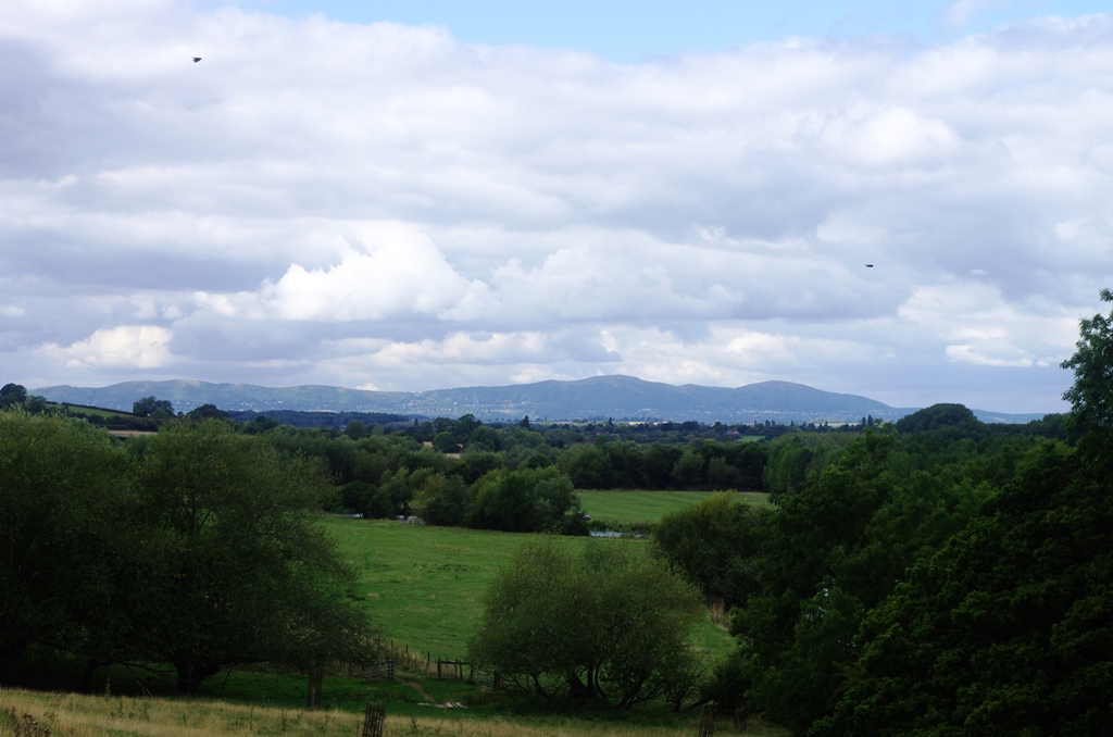
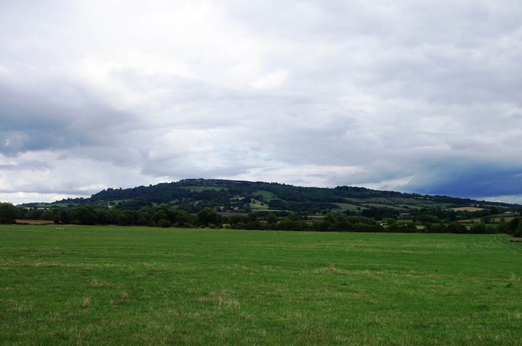
Looking west there are views of Bredon Hill and the Malverns.
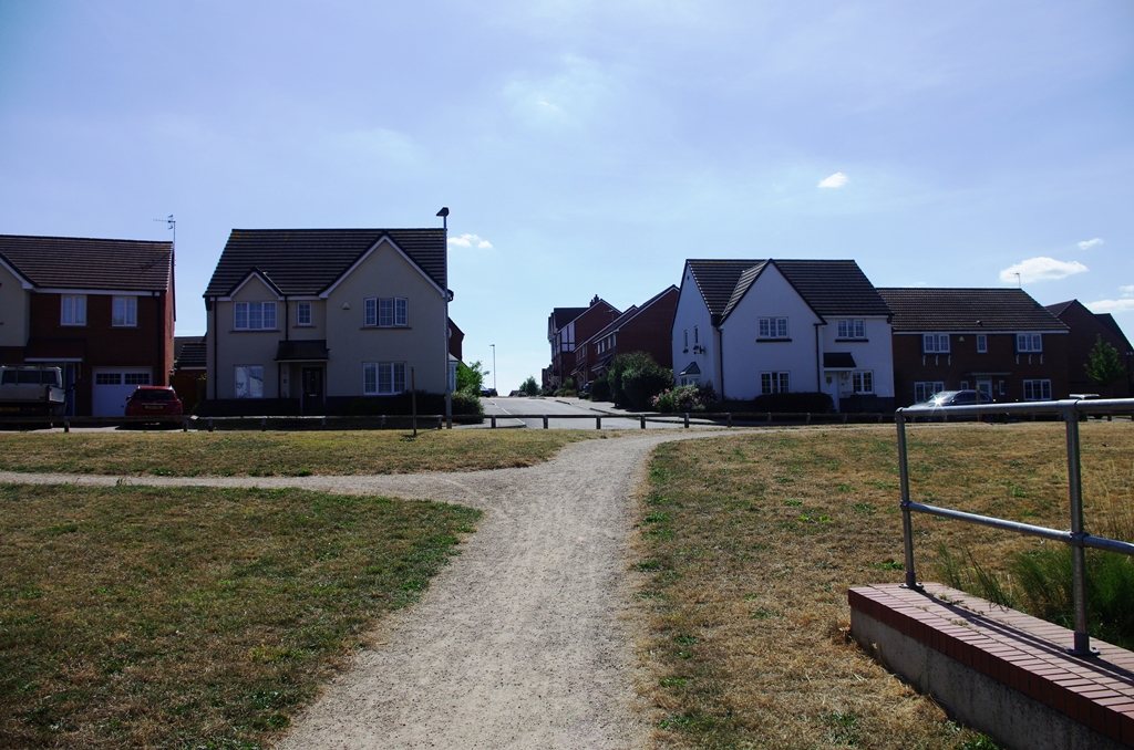
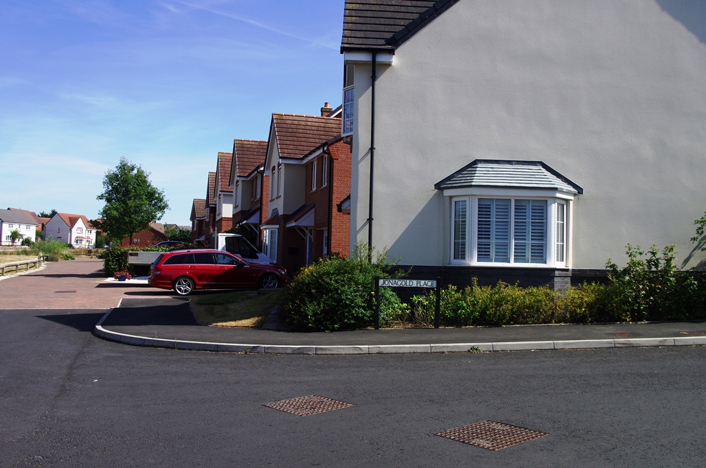
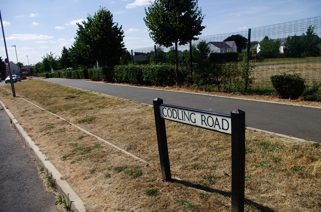
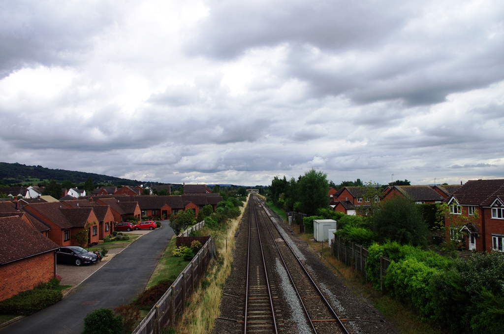
The path heads towards a footbridge over the railway then enters a new housing estate where all the roads are named after apples.
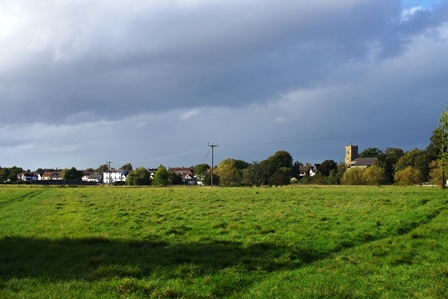
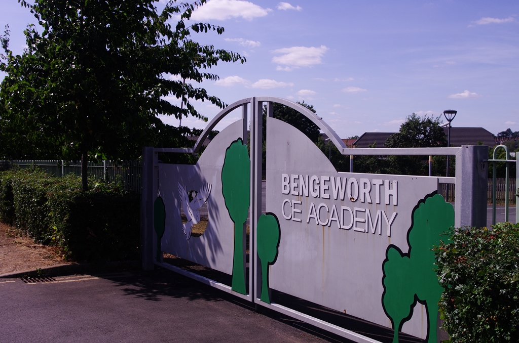
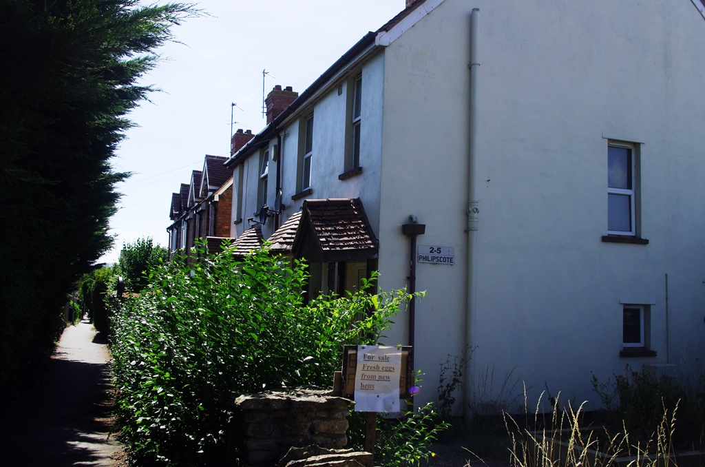
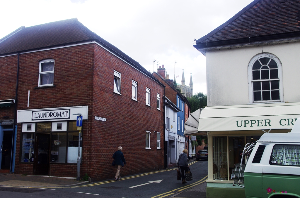
The area is called Bengeworth. The path goes past a school then there’s a footpath called Phillipscote leading into Evesham centre.
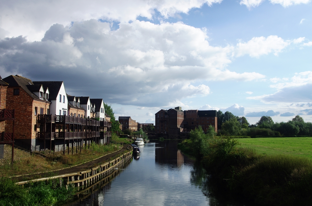
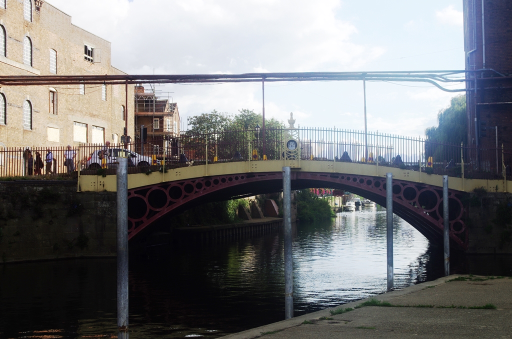
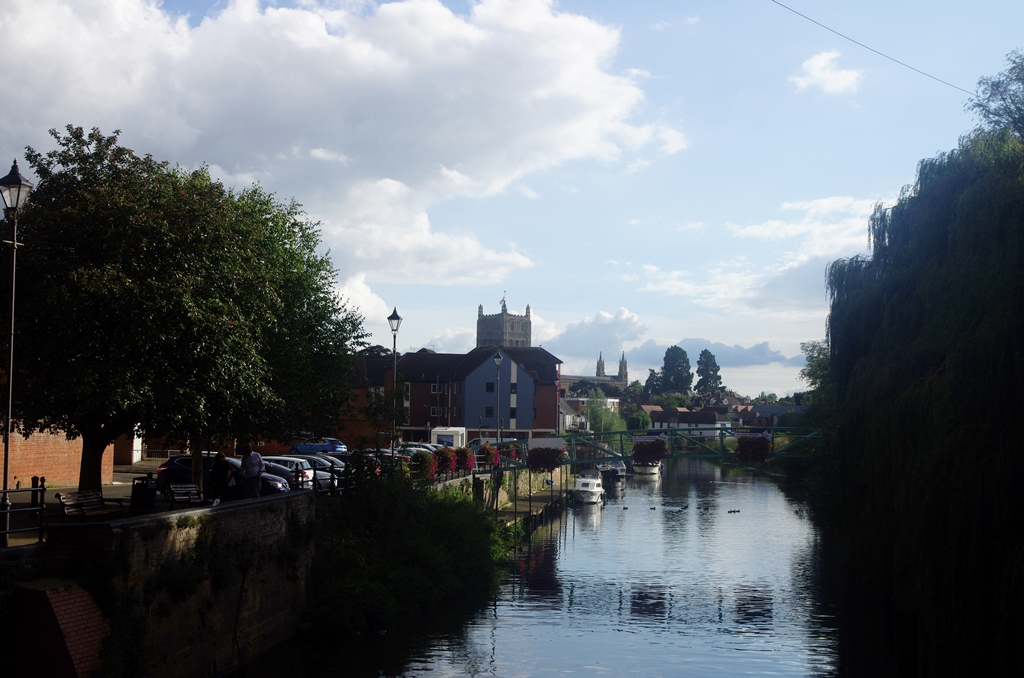
We meet the river again at Workman Bridge then there are shops in Bridge Street.
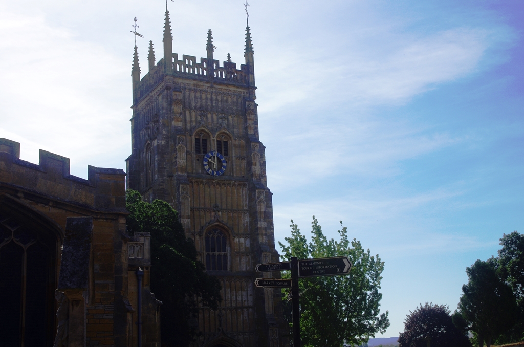
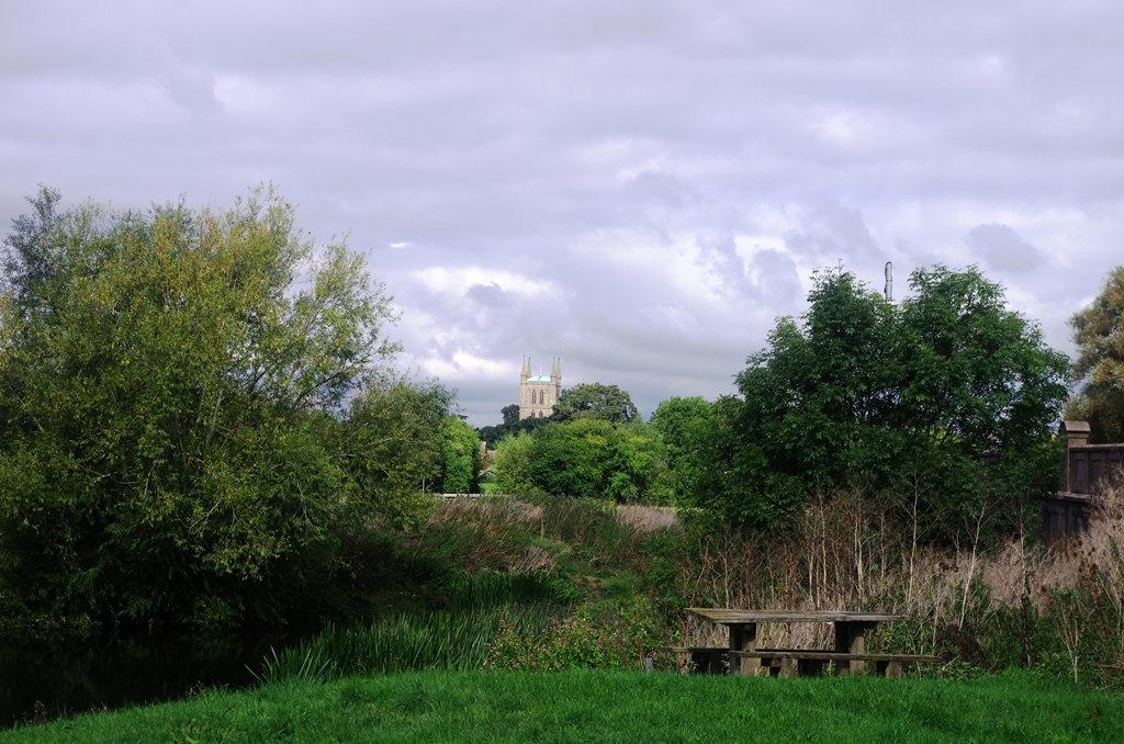
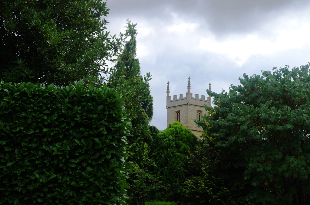
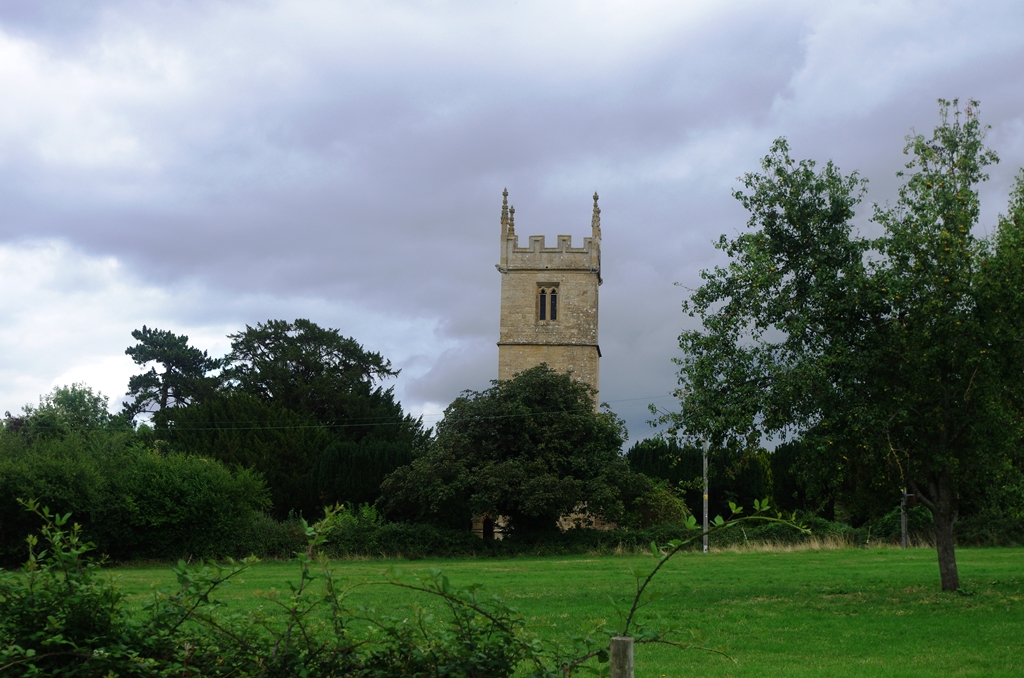
I had a rest in Abbey Park with an ice cream for company! The abbey bell tower is next to two churches.
It was too hot and late to continue walking so I wandered through the town to the railway station for the train back to Paddington.
Photos copyright 2022 John Myerson
Pershore to Tewkesbury – 10 September 2022 (16 miles)
I eventually arrived at Pershore Station at 10:44 via Didcot and a bus replacement to Hanborough after having to wait an extra hour because of a failed train. However, a pleasant sunny day as I made my way into Pershore town via Mill Lane and the riverside.
The path goes alongside the river, across a meadow and emerges at a car park in King George’s Way next to the town’s football ground.
A short way down the High Street is Church Street leading to Pershore Abbey. A book of condolence was open with a candle burning.
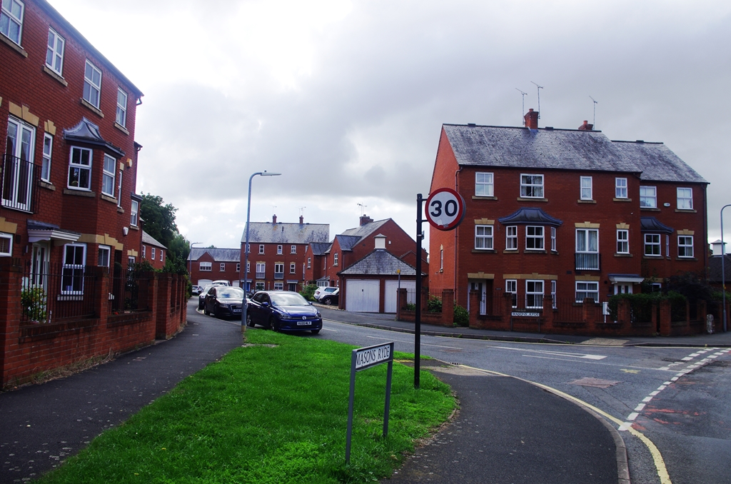
I continued through the Abbey grounds onto Church Walk and passed the end of Broad Street. Then I turned left along Masons Ryde.
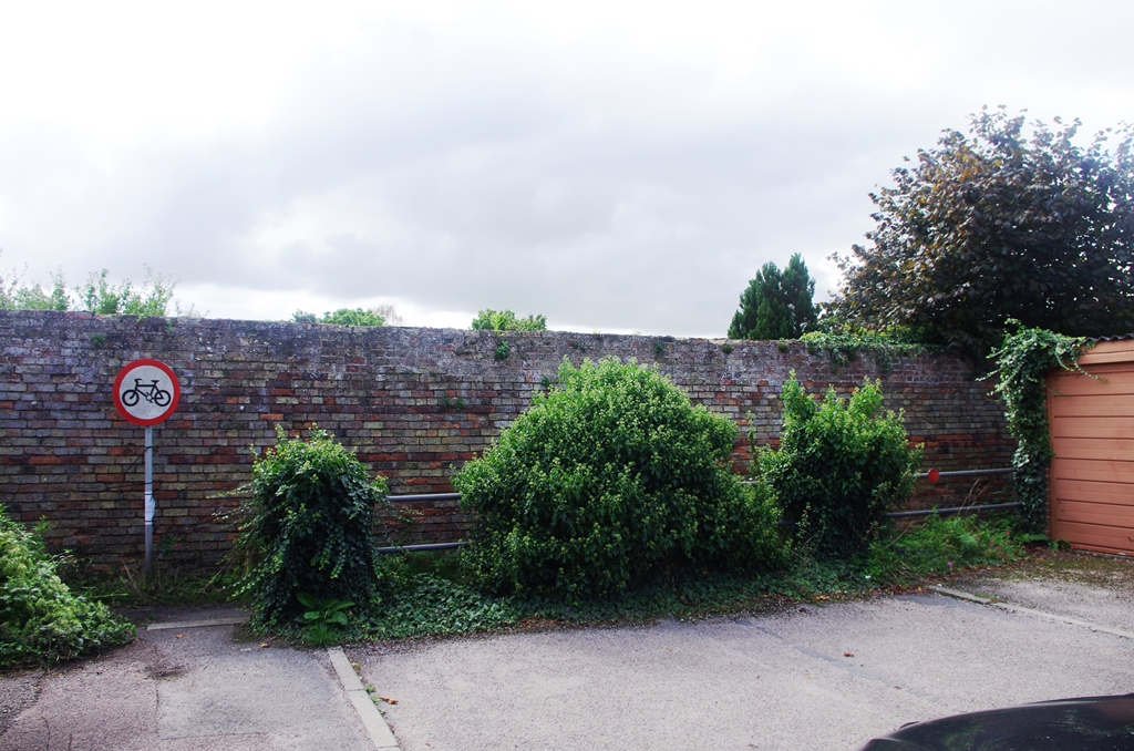
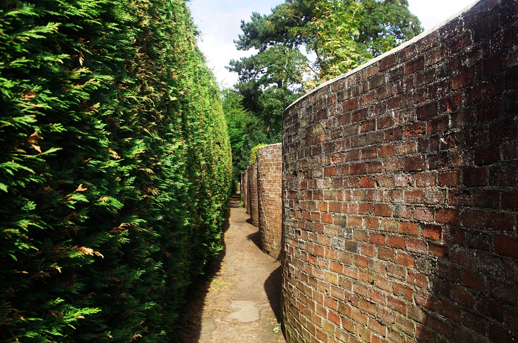
At the end of this road is a footpath with an unusual curvy wall leading out into the river meadows.
Next to the modern road bridge is the old bridge. This bridge was constructed in the 15th century by monks from Pershore Abbey. The central arch was enlarged by William Sandys about 1635 and the bridge was further repaired after it was damaged during the Civil War. There’s a car park and picnic area to the south of the river.
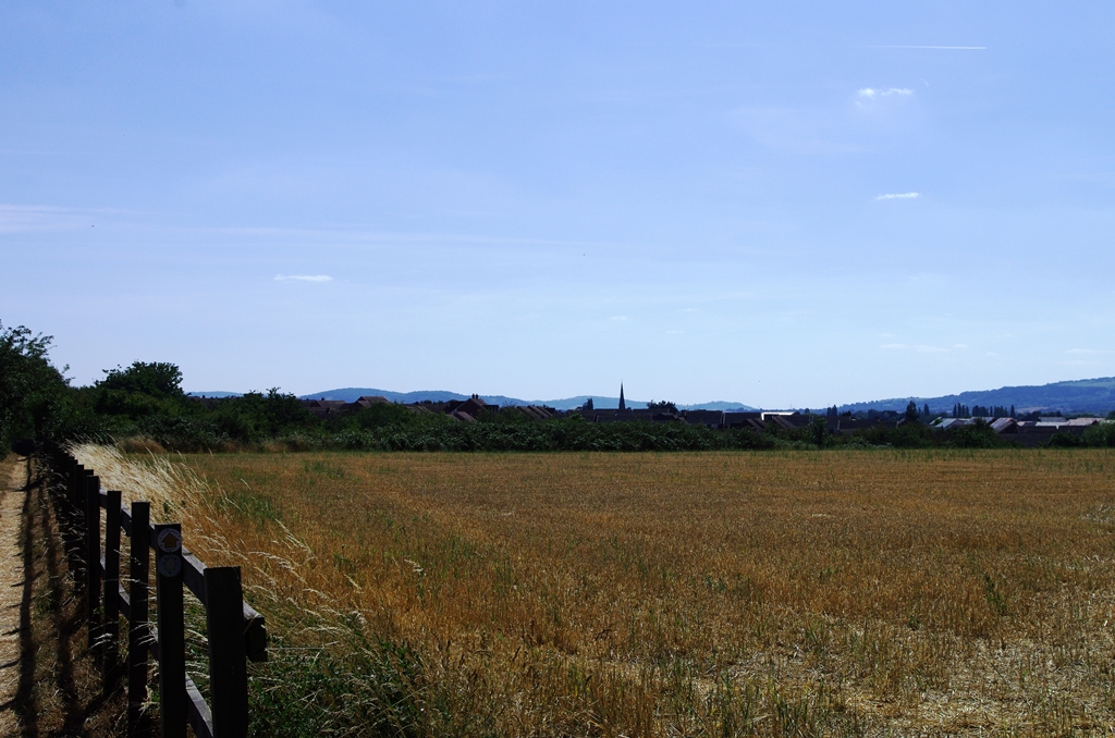
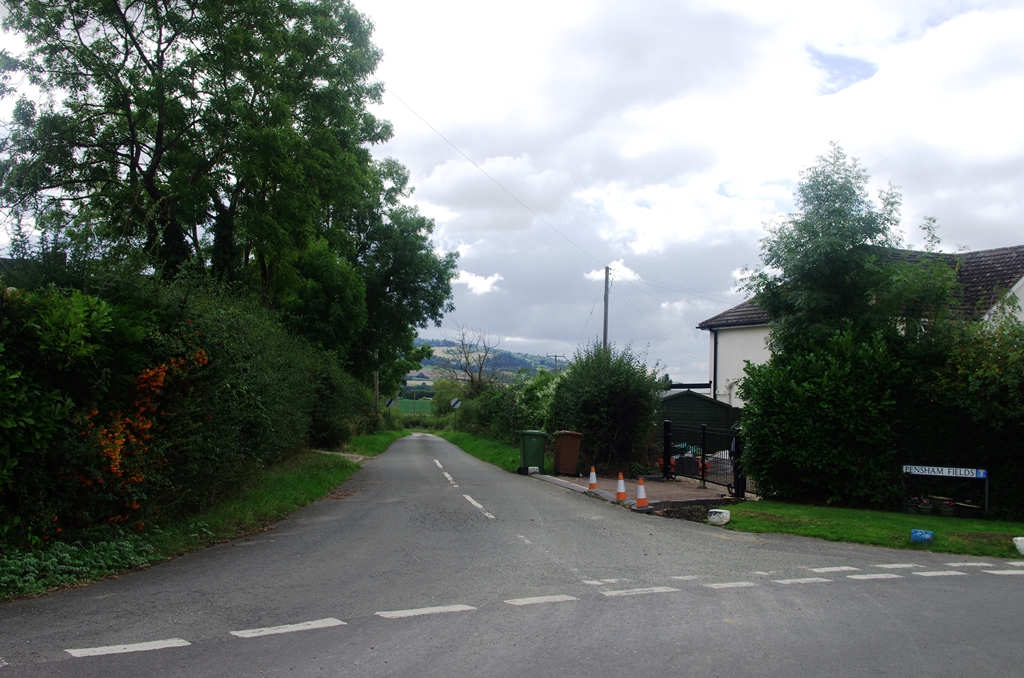
The route continues along a road to the right called Pensham Hill then continues straight on through Pensham to a lane called Pensham Fields on the left. This leads out to farm land.
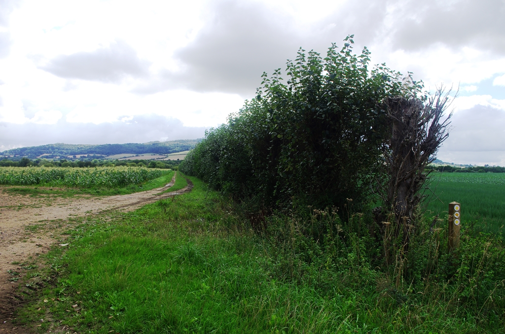
Along the edge of one field a lovely mixed hedge has been planted. Soon the path is back by the river and passes Comberton Quay then turns left towards Great Comberton village.
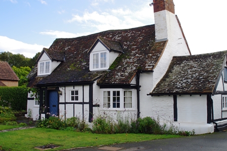
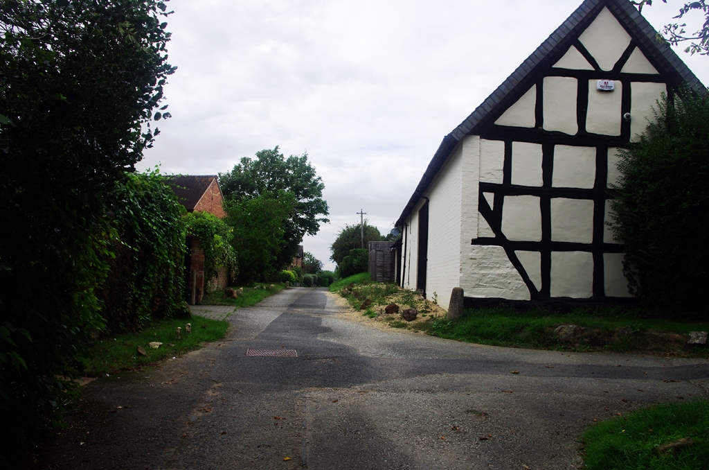
The village is quite unspoilt with many half-timbered houses and a lovely church.
Leaving the village, the path goes downhill with occasional views of the river.

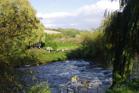
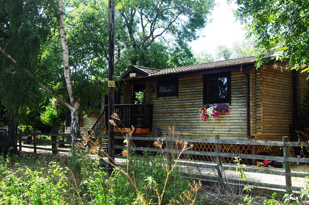
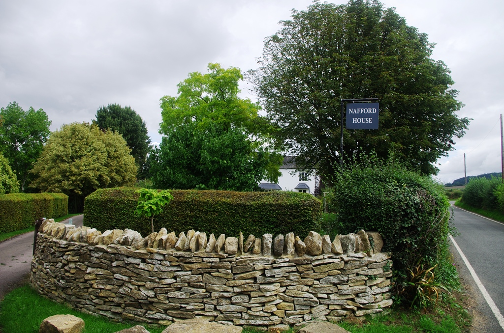
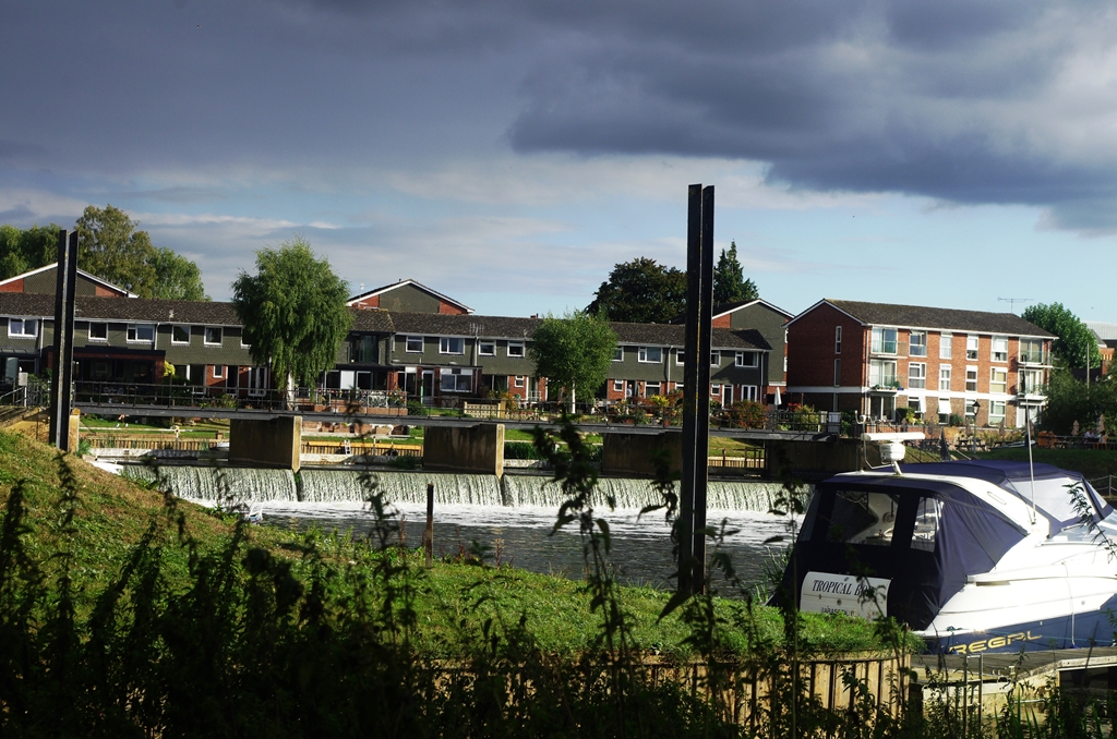
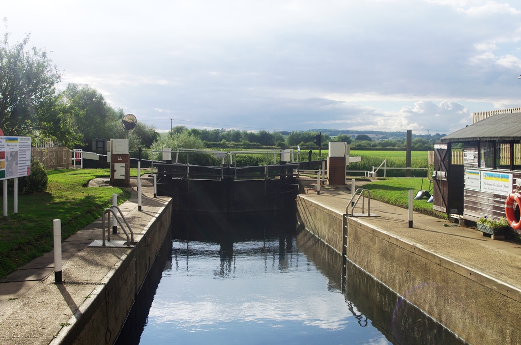
Eventually I reached a lane next to Nafford House (a B&B), then the path turns right down to Nafford Weir.
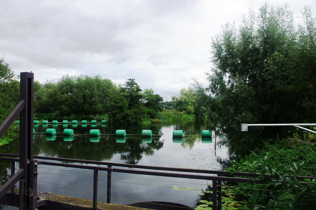
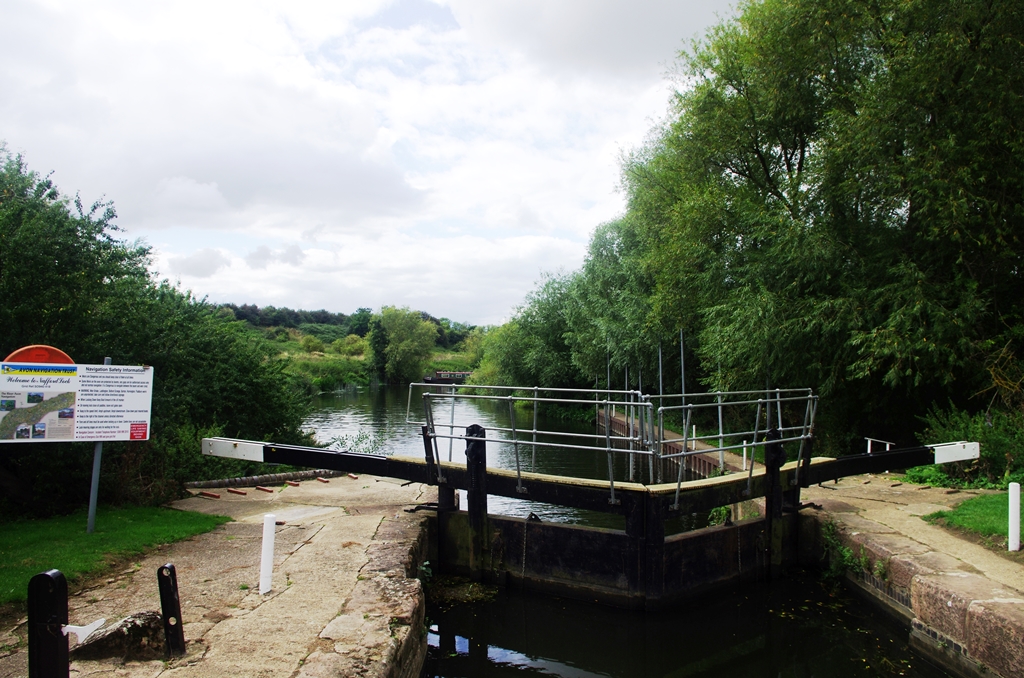
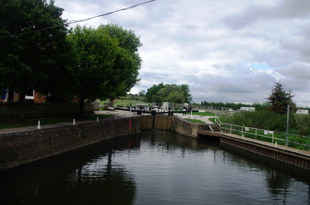
Next to the weir is Nafford Lock and another weir beyond.
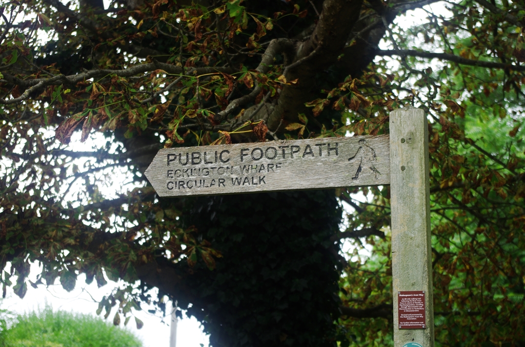
A track leads to the hamlet of Birlingham and a track signed Eckington Wharf Circular Walk.
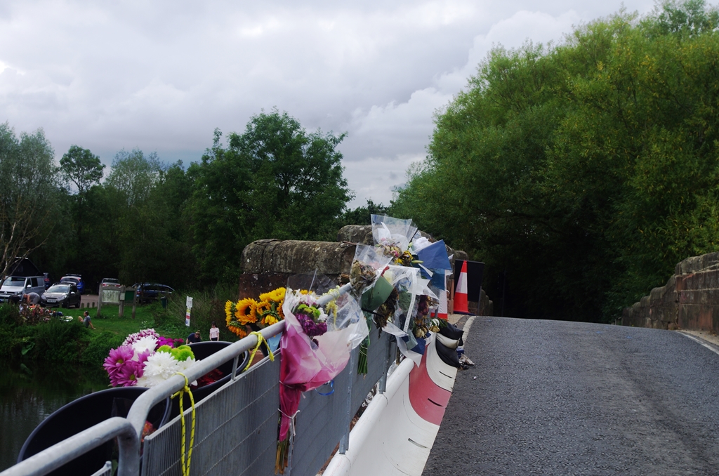
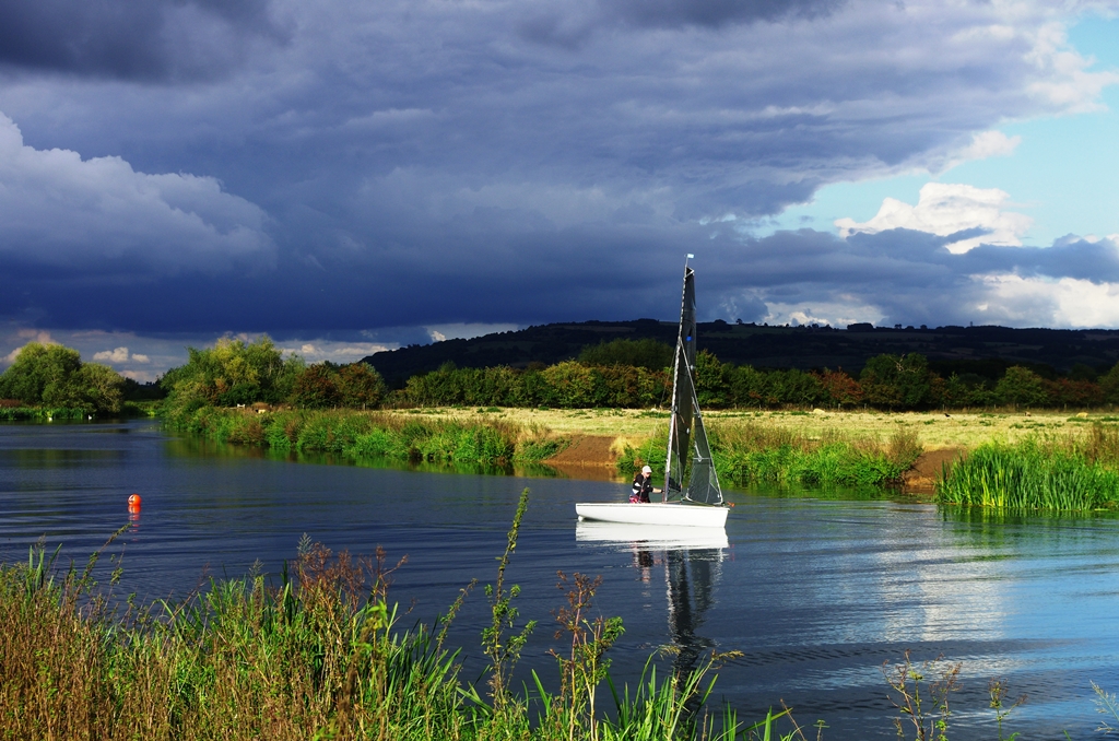
The route returns nearer the river, then across a meadow to Eckington Bridge. There was a fatal accident here on August 26. A car ended up in the river and the bridge was damaged. The traffic is controlled by lights but apparently they were ignored. On the south side of the bridge is a car park with seats overlooking the river. Several people were using paddleboards on the river. I stopped for lunch here.
On reading the noticeboard about the circular walk, I decided to go through the village instead of following the river as it was a bit shorter and might be useful for the Slow Ways route. At the end of Station Road is a footbridge over the railway but no station!
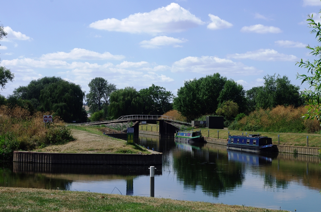
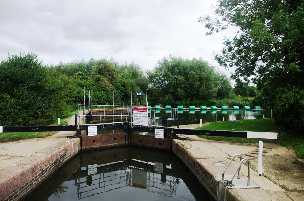
Mill Lane leads from the villager to Strensham Lock. After crossing the lock gate, the route goes left along an island next to the boat moorings and over the weir on a metal bridge.
At the end of the next island there’s another bridge and then there’s a gate into Strensham Mill grounds and an exit onto a lane.
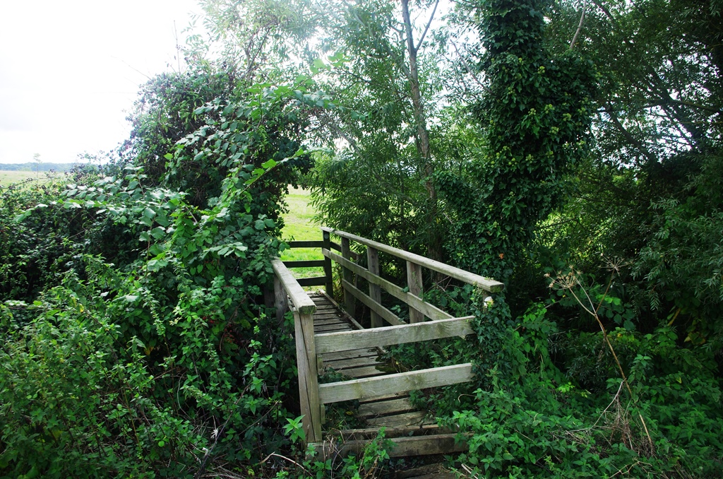
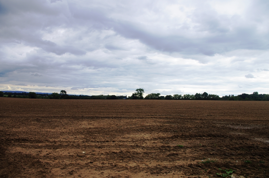
After passing water treatment works the route turns left along the edge of a field then across another field (recently ploughed) and over a small footbridge into a large field.
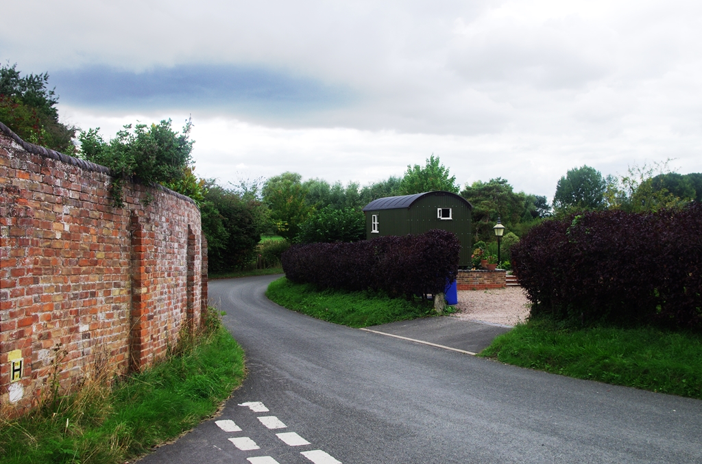
The M5 motorway can be seen (and heard) in the near distance. There’s a tunnel under the motorway. The next left turning is Downfield Lane which leads to Twyning.
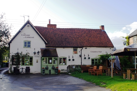
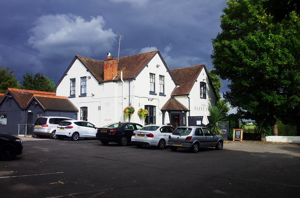
In Twyning village a narrow lane leads to the riverside with the large Fleet Inn on the left.
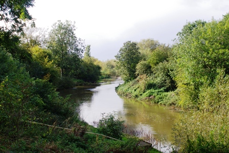
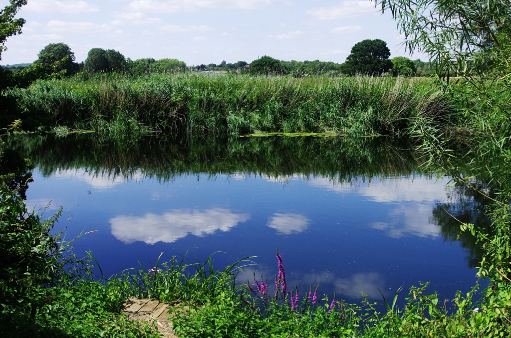
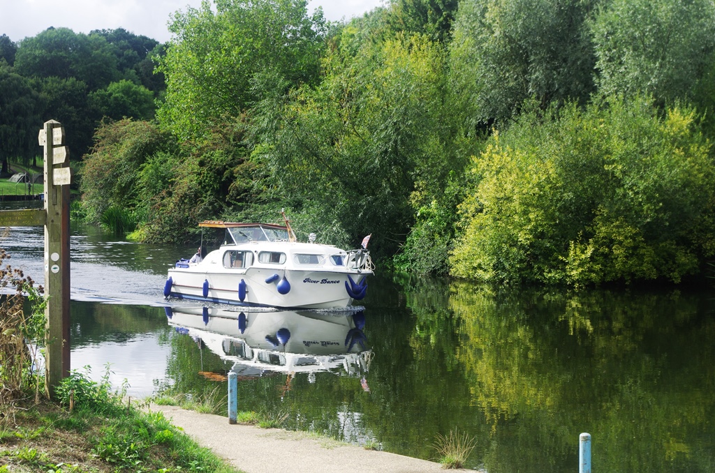
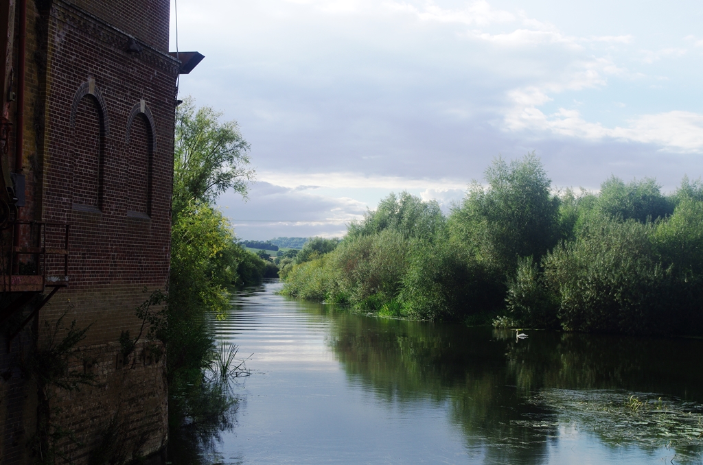
The path now follows the riverbank for 2 miles or so into Tewkesbury with views of the sailing club.
The path now diverts slightly from the river to pass under a former railway bridge. Then there are views of Tewkesbury Weir.
On reaching Beaufort Bridge (A38) there’s a path that goes between the two branches of the Avon towards the last lock leading to the River Severn.
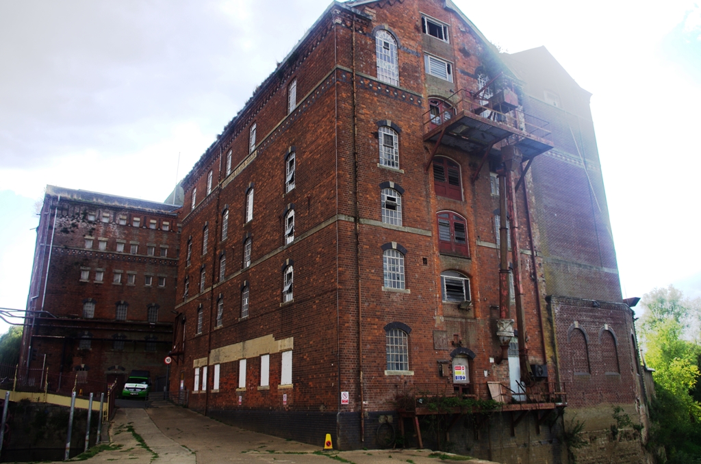
Soon afterwards is the disused Borough Flour Mill where I crossed an ornamental bridge to the Back of Avon road. It’s possible to cross back to the right hand side of the Mill Avon next, but I stayed on the road and visited the Riverside Café.
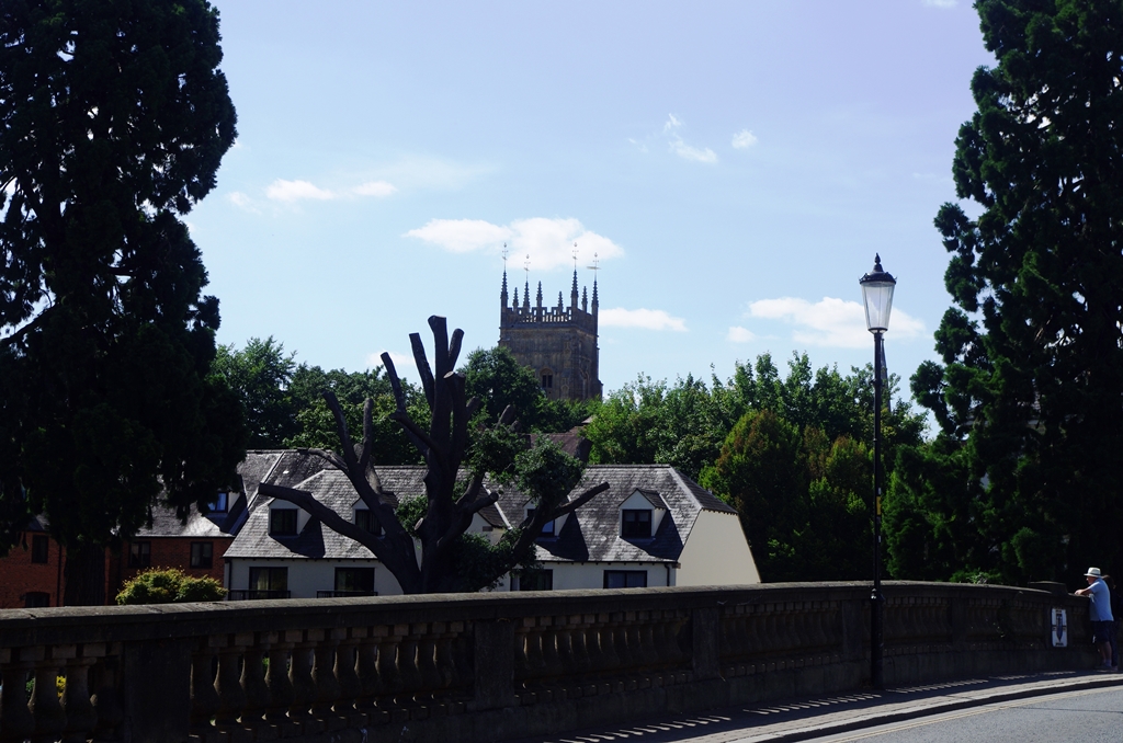
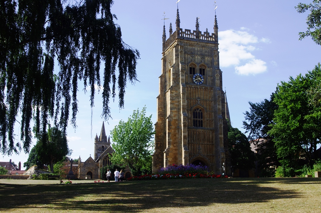
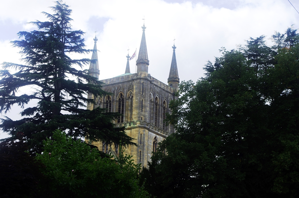
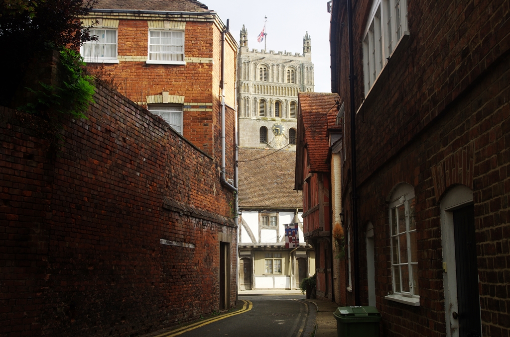
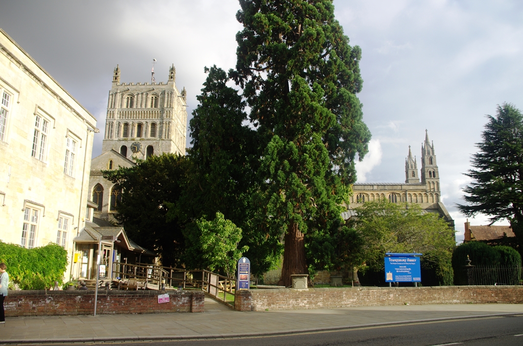
Turning up St. Mary’s Lane, I got a good view of Tewkesbury Abbey. Unfortunately it had closed at 4:30pm.
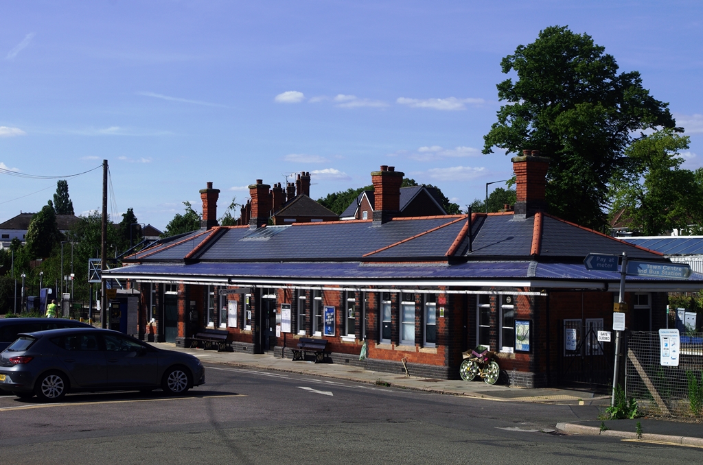
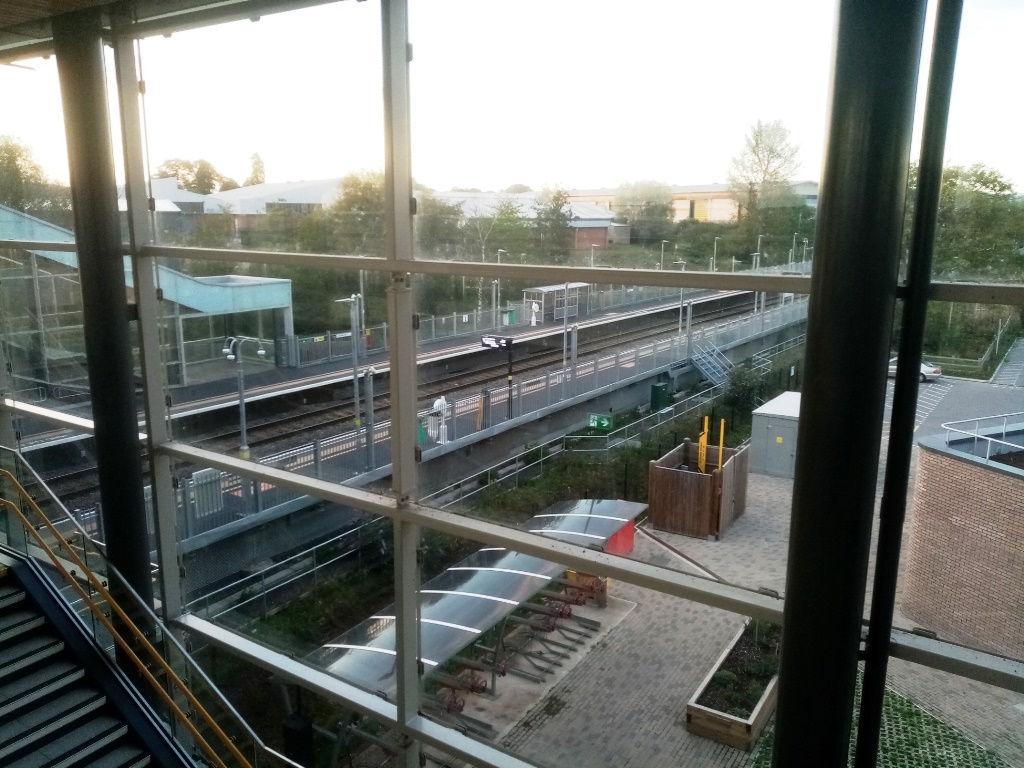
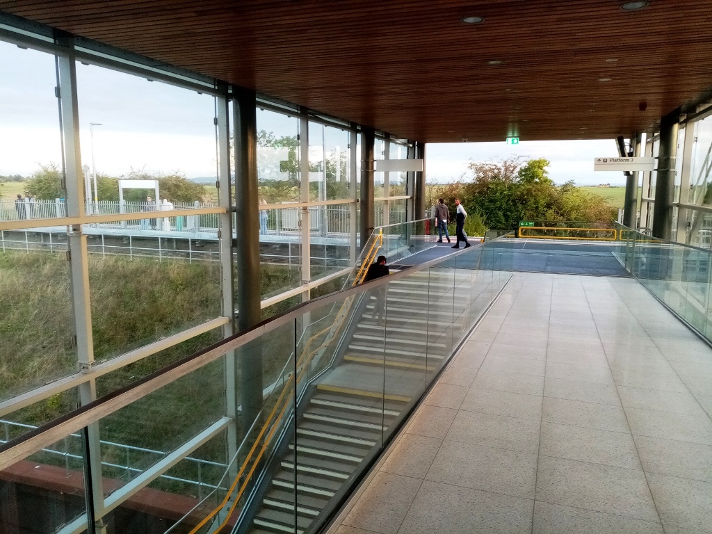
This was the end of my walk. I went to the nearby Crescent Bus stop for the 6pm bus to Ashchurch Station. I was 30 minutes early at the station for my train but fortunately because the next number 41 bus was cancelled. They have a shortage of drivers! I changed trains at the new Worcestershire Parkway station which is quite impressive except there are no refreshments available. The rest of the journey back to London was uneventful!
Photos copyright 2022 John Myerson
