Birmingham to Bromsgrove – 11 October 2022 (19 miles)
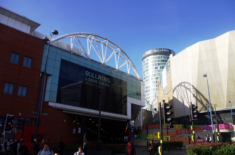
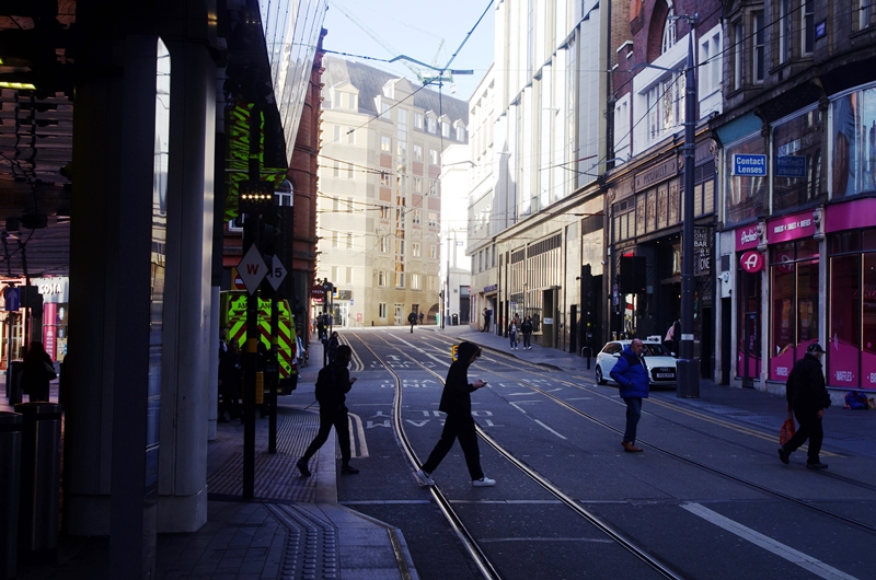
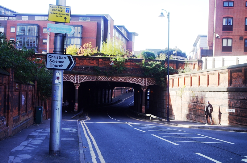
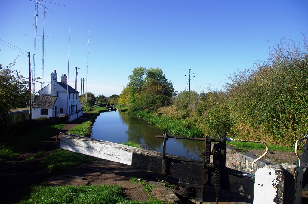
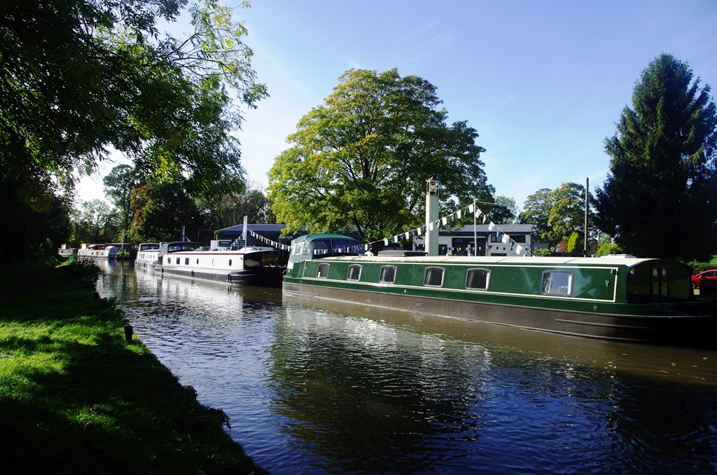
I started this walk by taking the train to Birmingham Moor Street. Across the road are steps leading to New Street and the shopping area. Just past New street Station I turned left down Stephenson Street, which has tram tracks now, then left down Navigation Street, under Suffolk Street Queensway and down Holliday Street. This goes under the canal. The next left gives access to the Waterfront Walk.
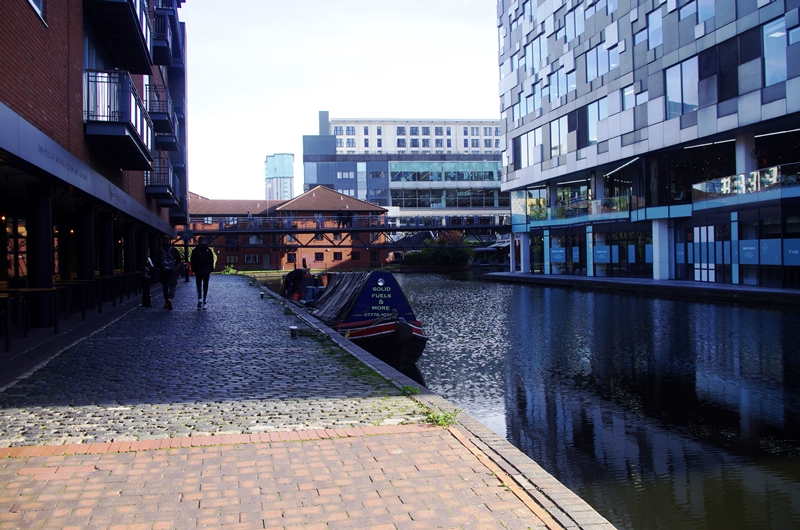
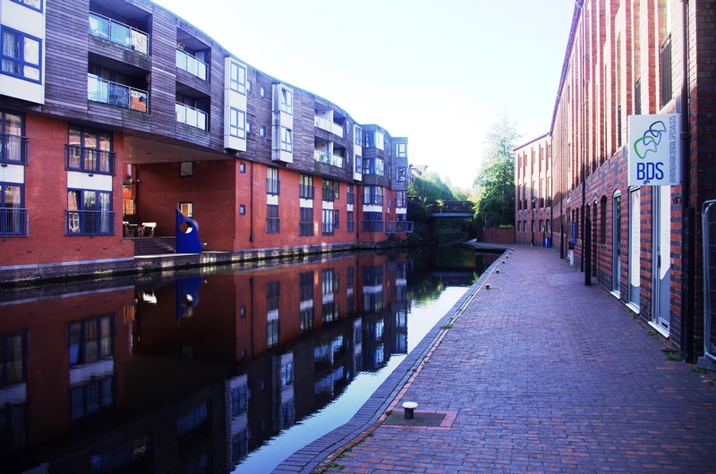
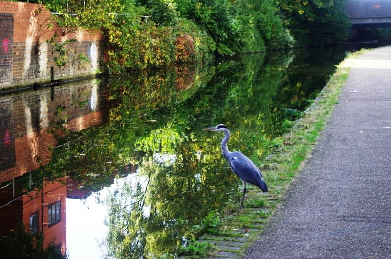
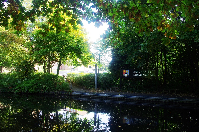
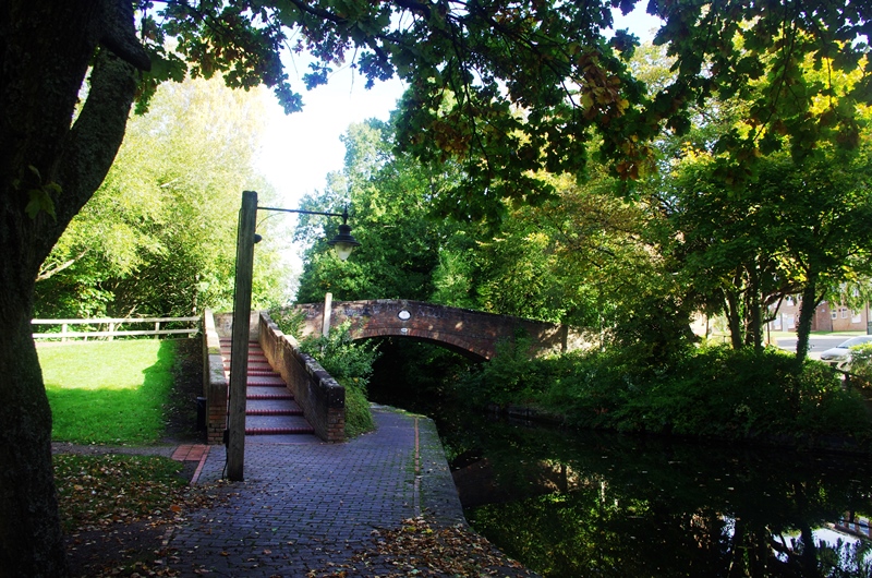
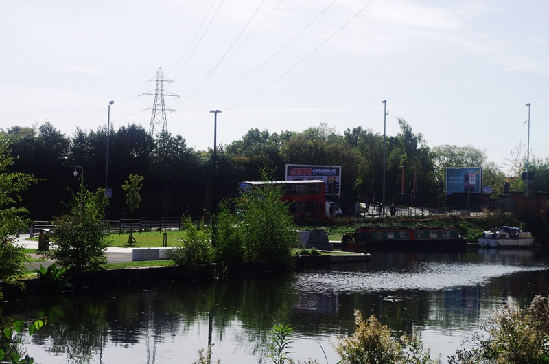
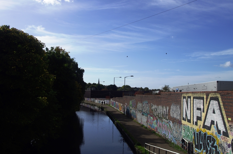
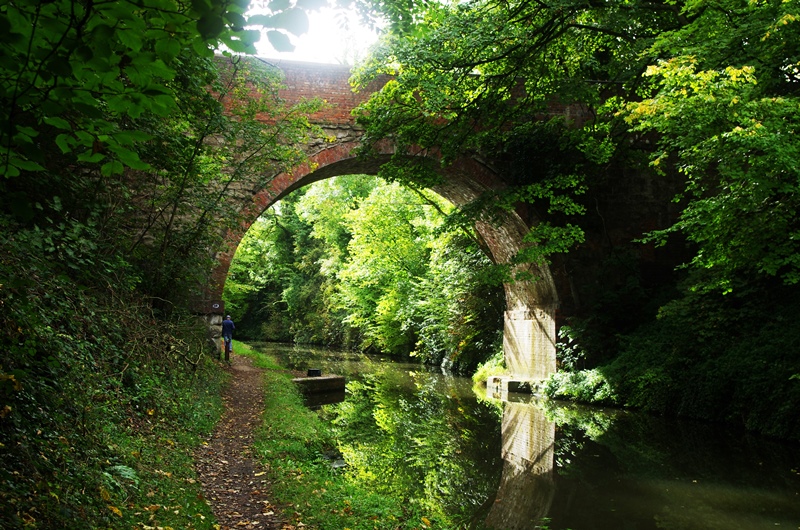
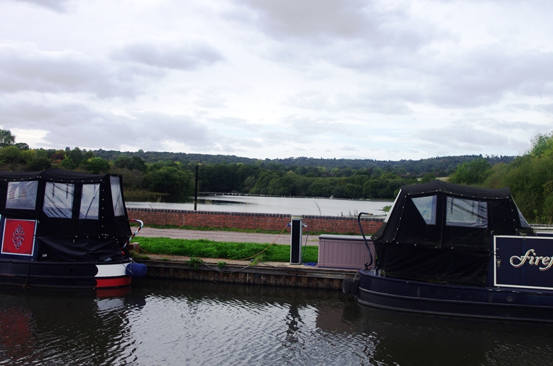
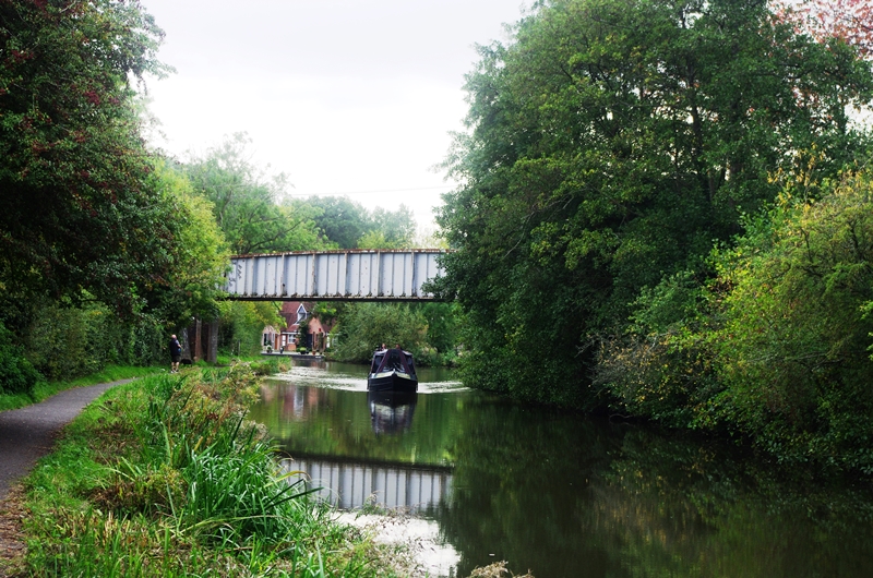
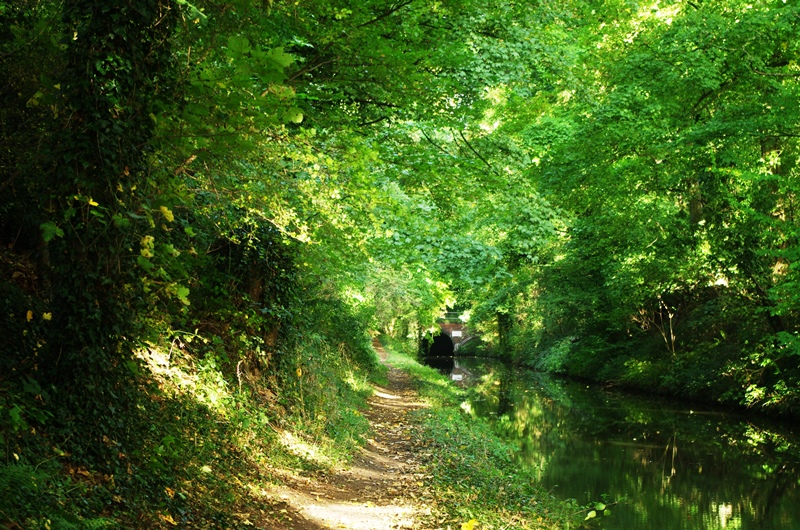
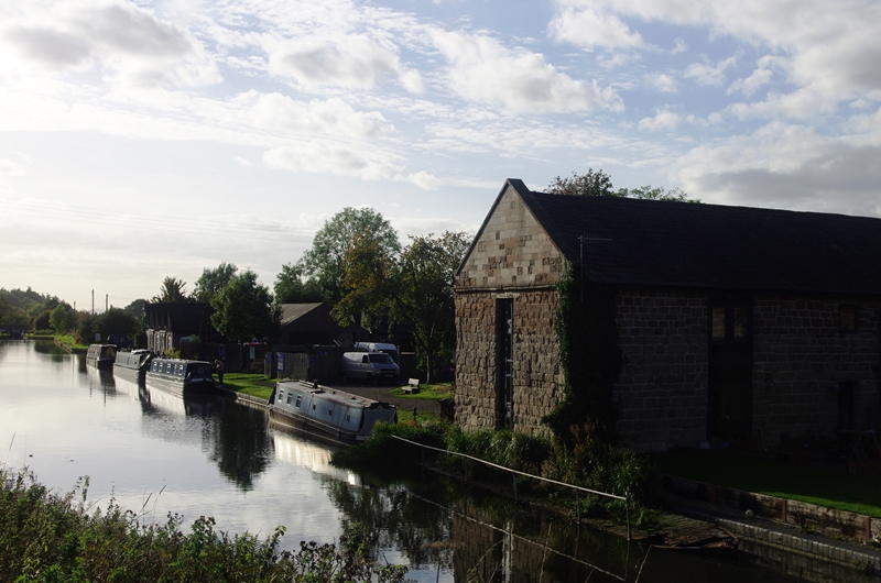
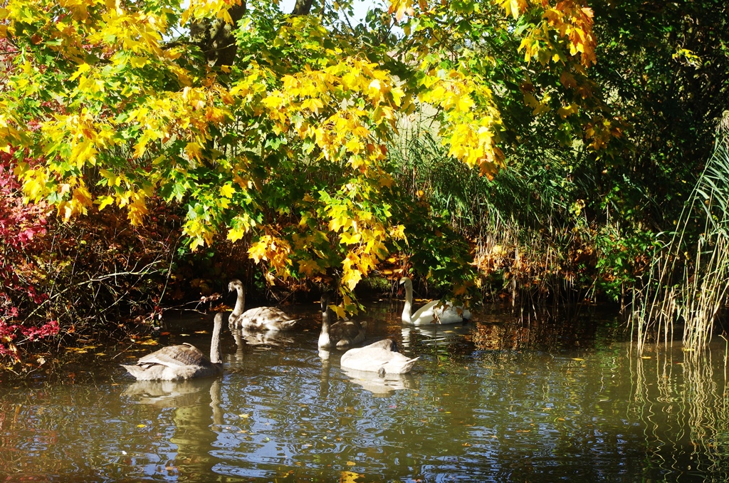
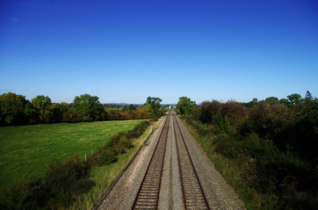
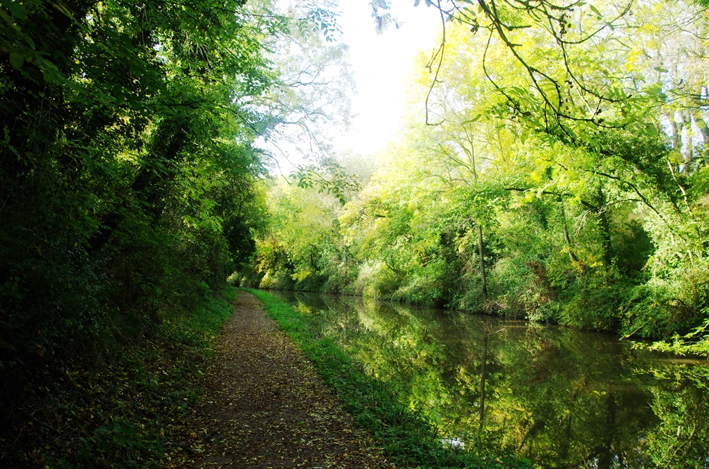
To the left the canal turns left to join the Grand Union. The Mailbox building is at the corner. To the right is the start of the towpath going south. The Heron seemed undisturbed by people walking past! The canal runs alongside the railway for about 3 miles. There’s a short tunnel at Edgbaston then the canal passes the University campus.
Just before Selly Oak is an aqueduct over the A38. Opposite Sainsbury’s at Selly Oak is the new wharf created by the Lapal Trust. Their aim is to restore the link to the Dudley number 2 Canal at Halesowen. A path has been preserved next to Sainsbury’s and the wharf enables boats to turn into the new canal when built.
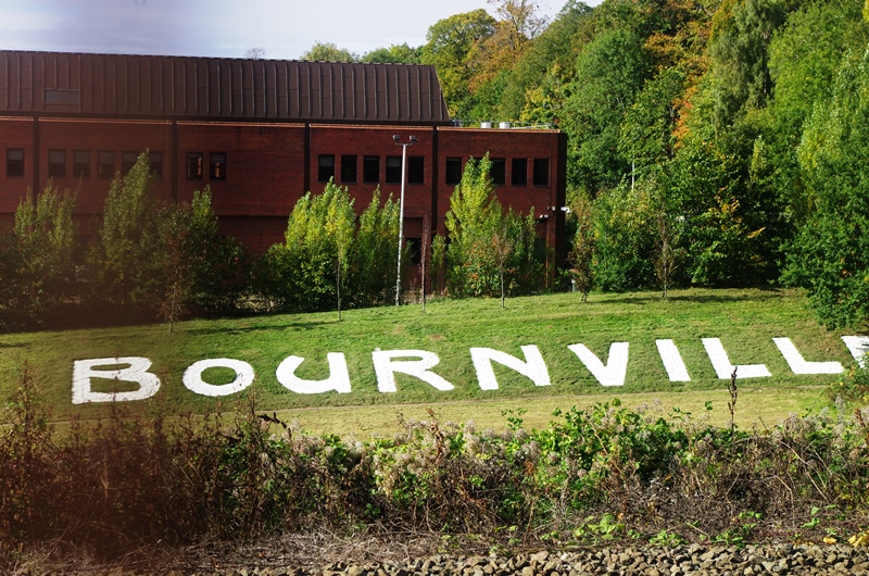
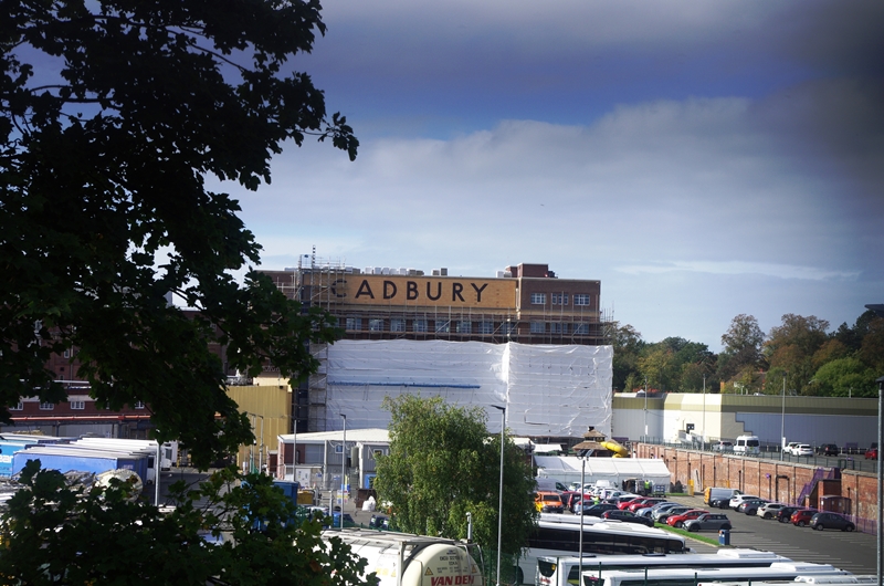
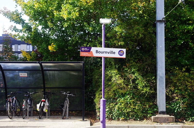
After buying my lunch in Sainsbury’s I continued south past the Cadbury works at Bournville.
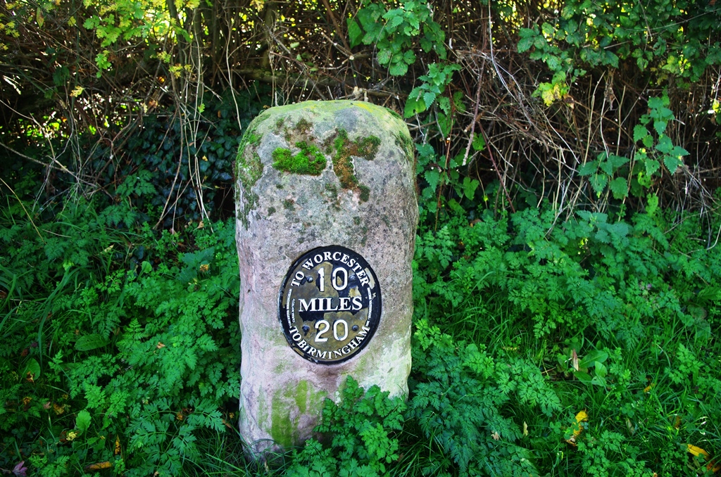
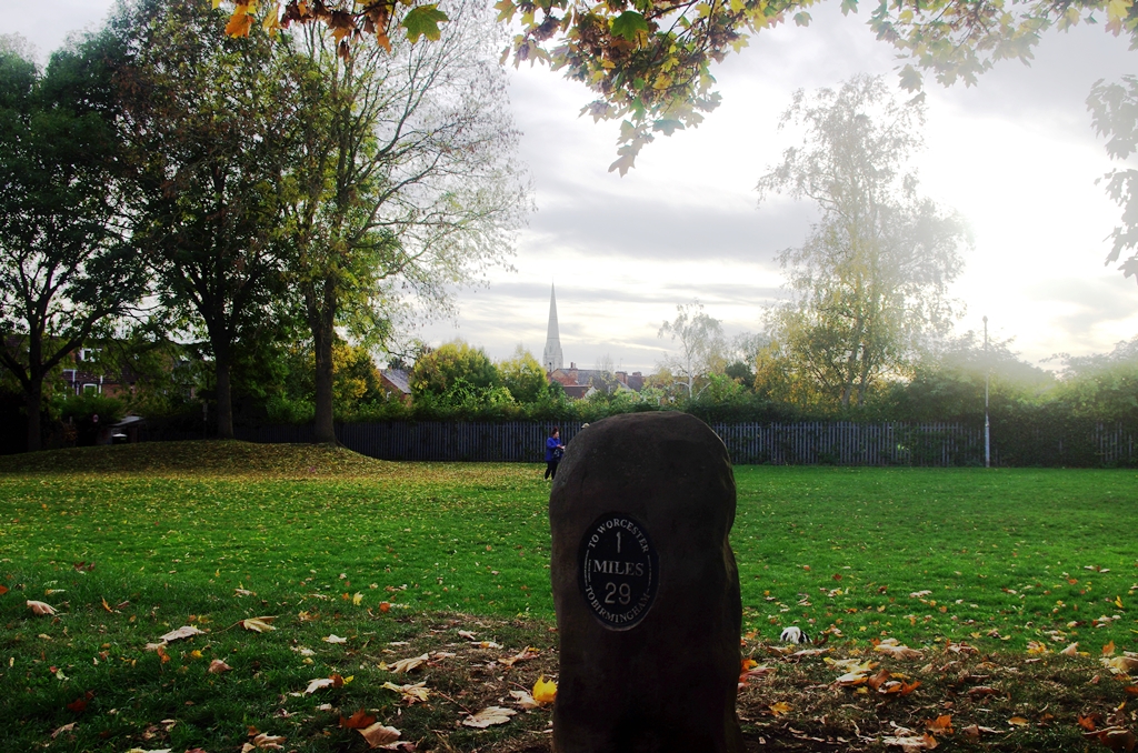
The towpath changed sides for a short distance at Lifford Lane, Kings Norton. There was a reminder of the distance still to be walked!
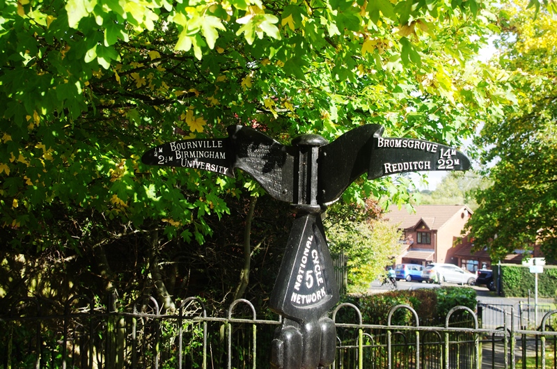
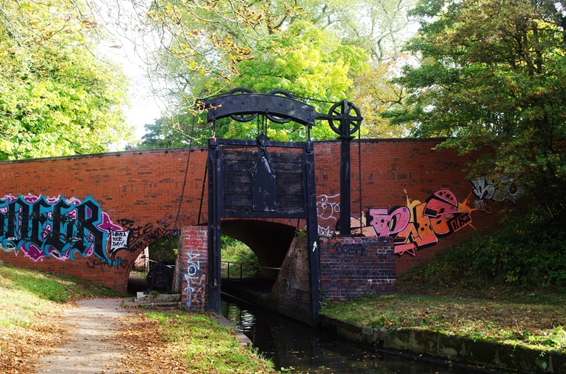
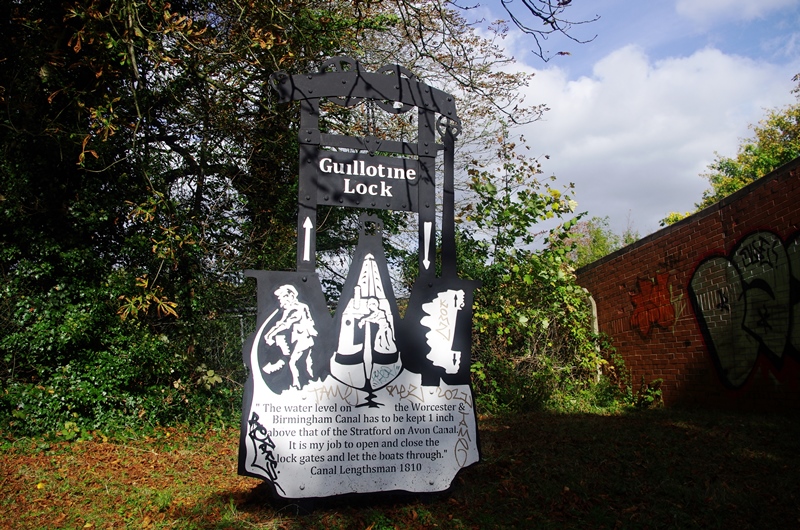
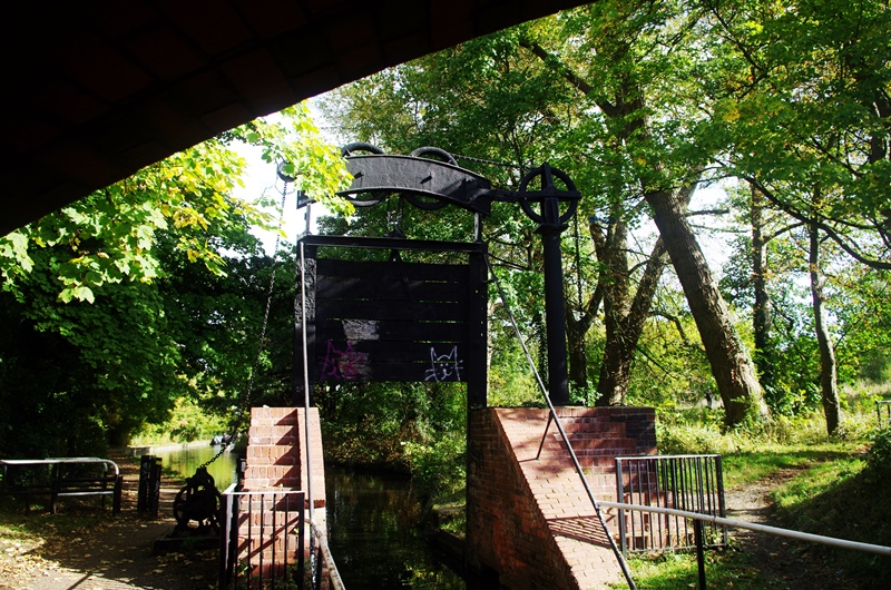
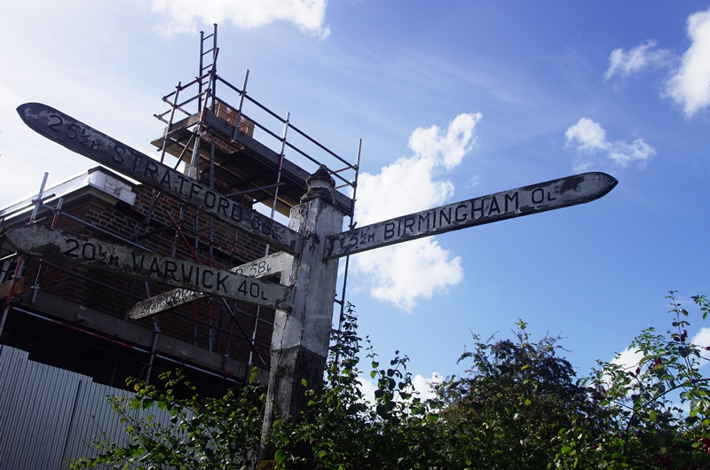
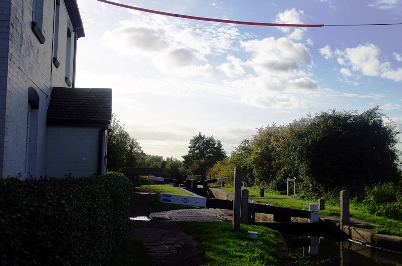
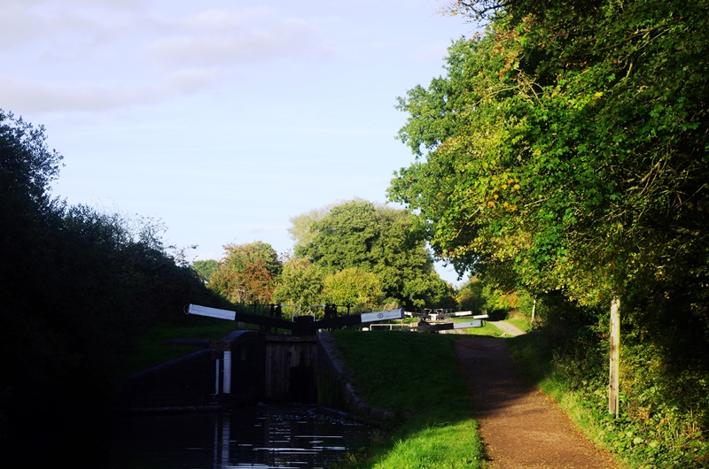
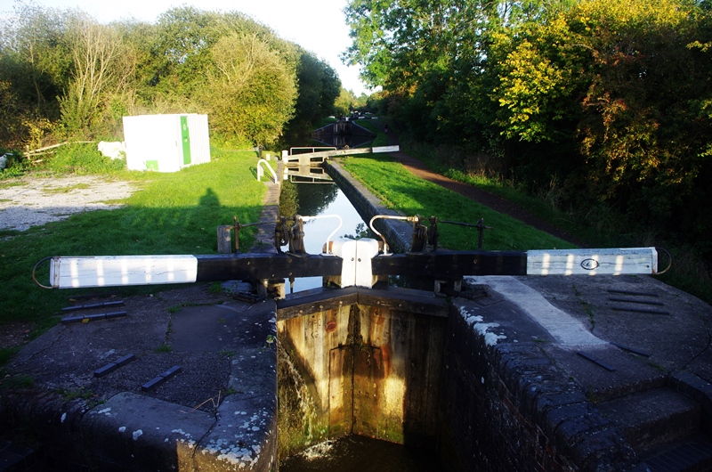
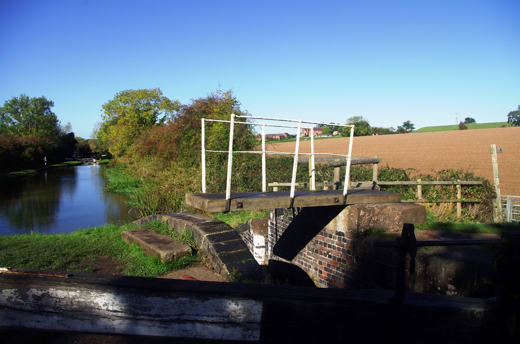
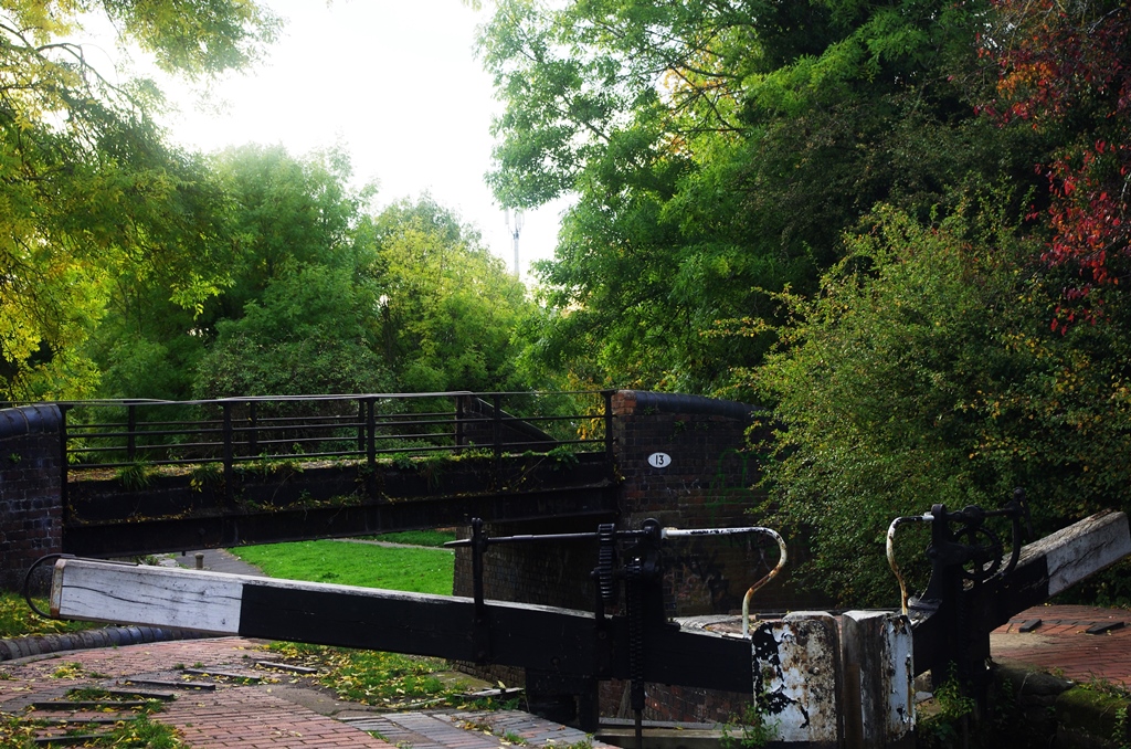
At Kings Norton is the junction with the Stratford on Avon Canal. Its first lock (now disused) is of an unusual guillotine type. The signpost at the junction gives the number of locks to the destination.
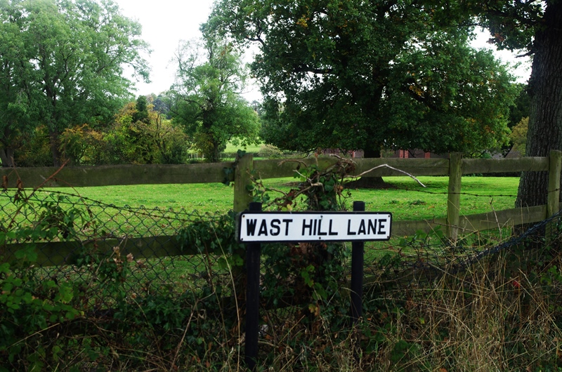
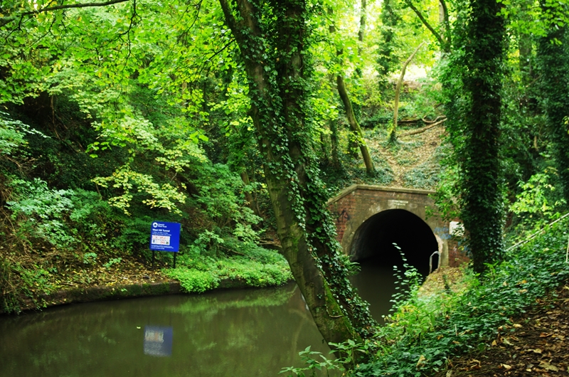
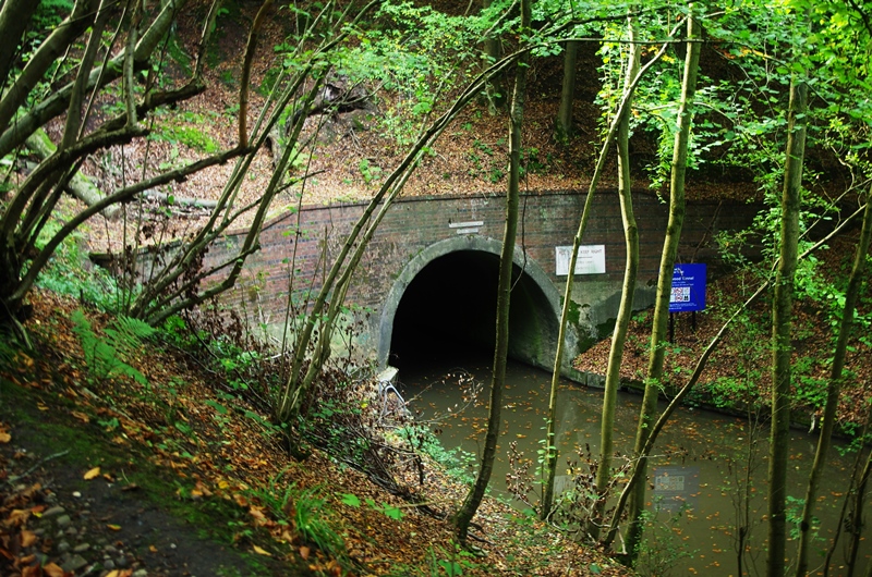
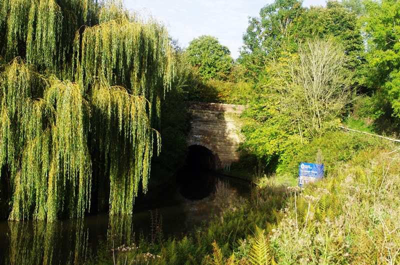
In just under a mile from here the canal enters Wast Hills Tunnel (2726 yards). There’s no towpath through the canal so I had to leave at some steps up to Masshouse Lane and follow several roads through the Hawkesley estate to Redhill Road where I turned left up Wast Hills Lane. After about 2.4 miles a path led back to the canal beside the south portal of the tunnel.
I stopped for lunch at Hopwood.
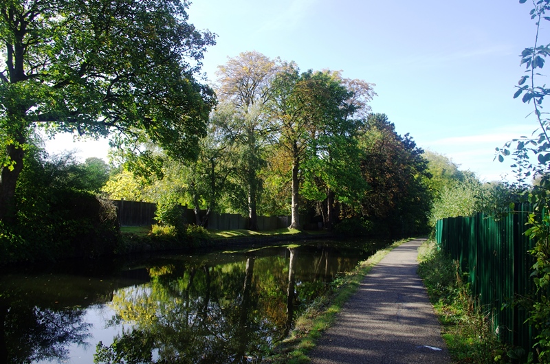
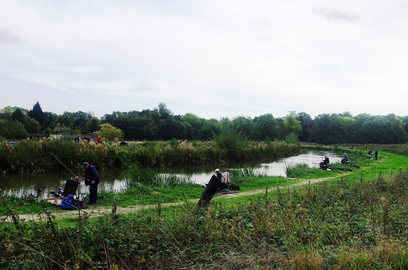
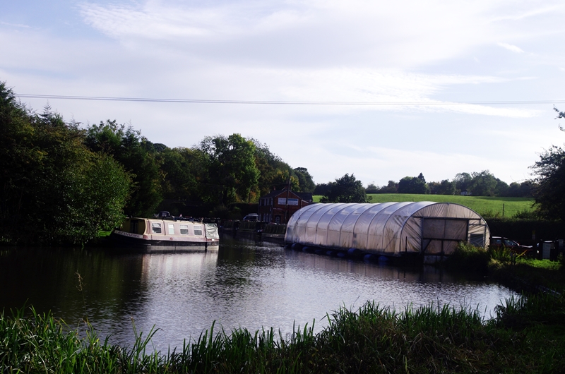
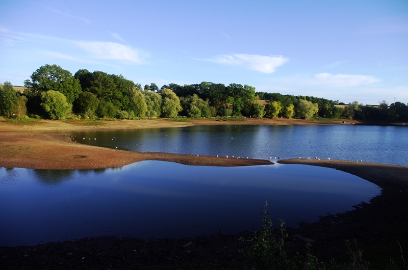
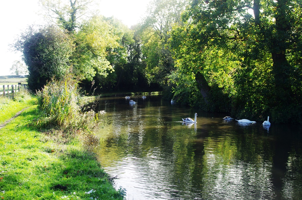
Soon after this is the Bittell Reservoir and a fishing lake opposite.
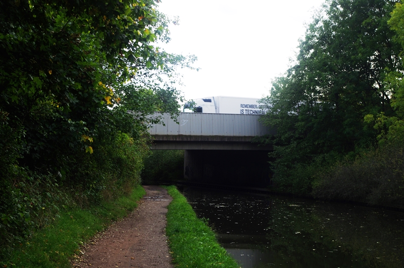
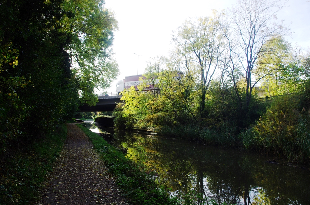
In 600 metres is the M42 motorway bridge followed closely by a short canal branch known as Crown Meadow, although it’s not navigable.
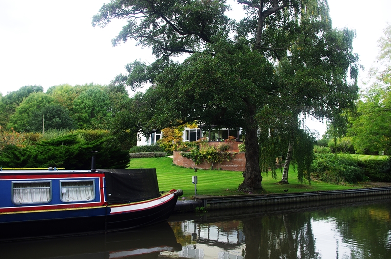
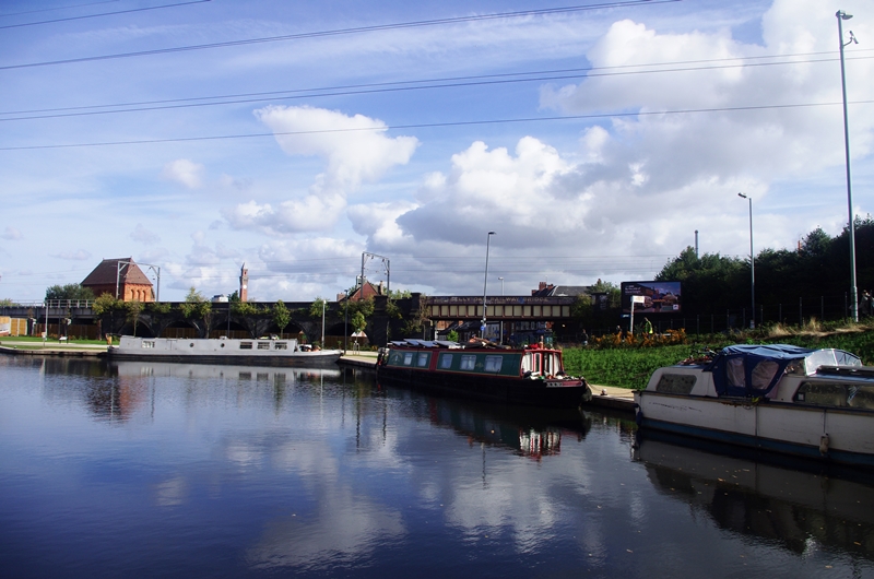
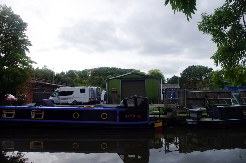
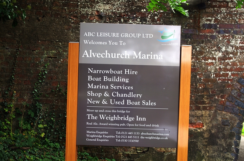
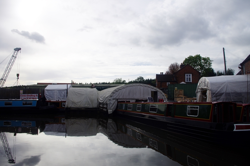
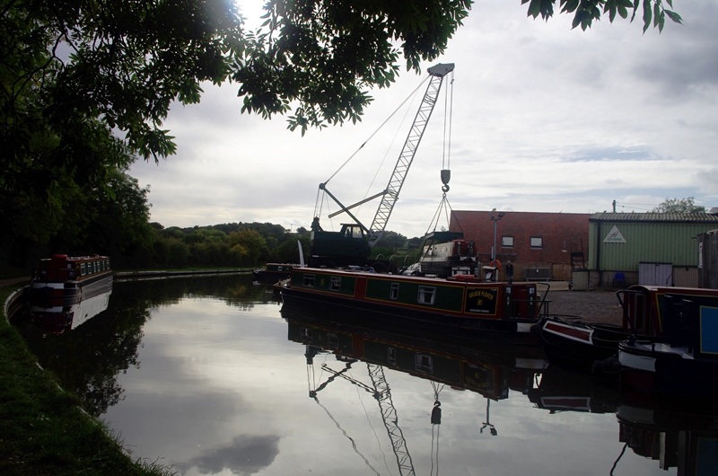
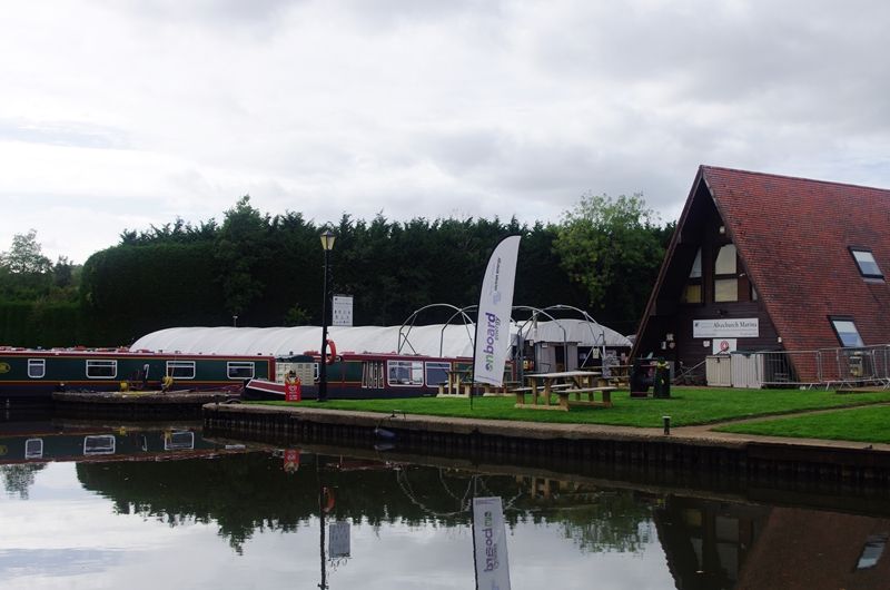
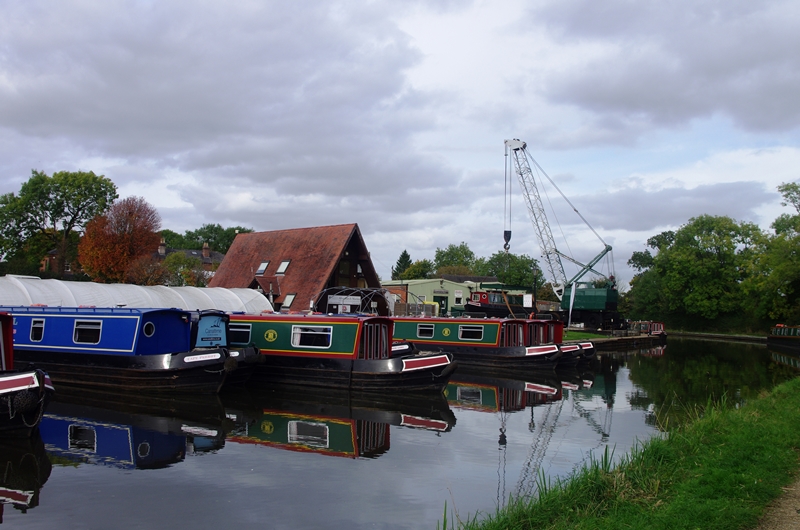
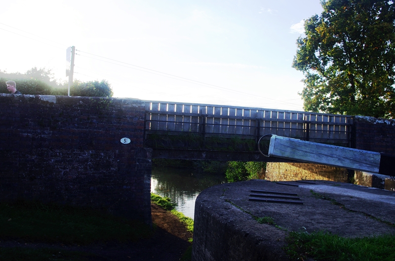
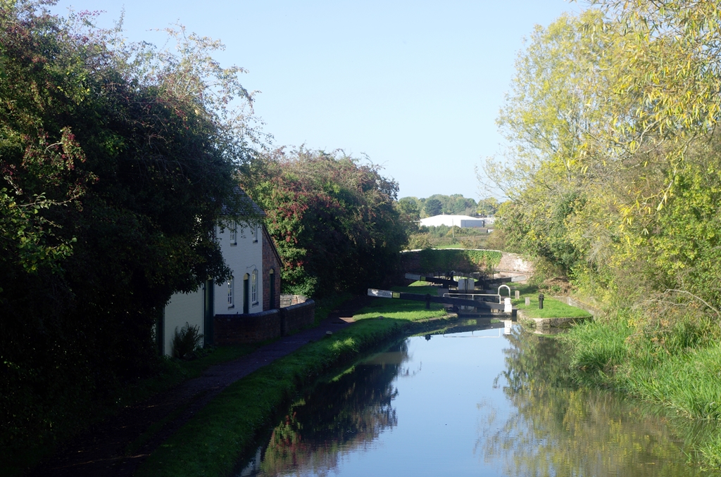
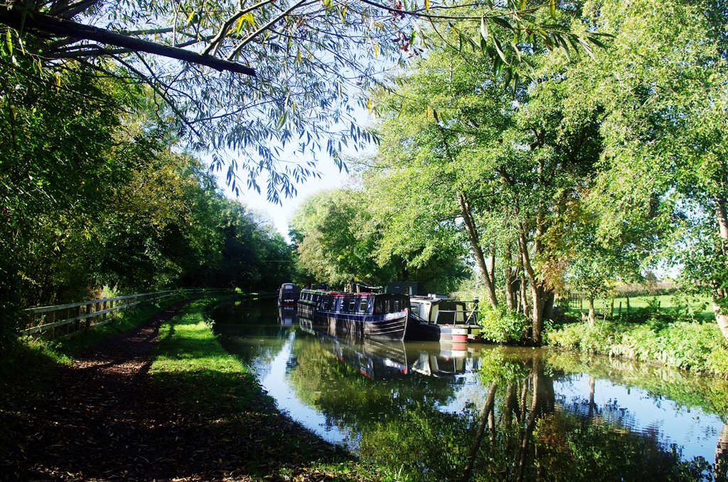
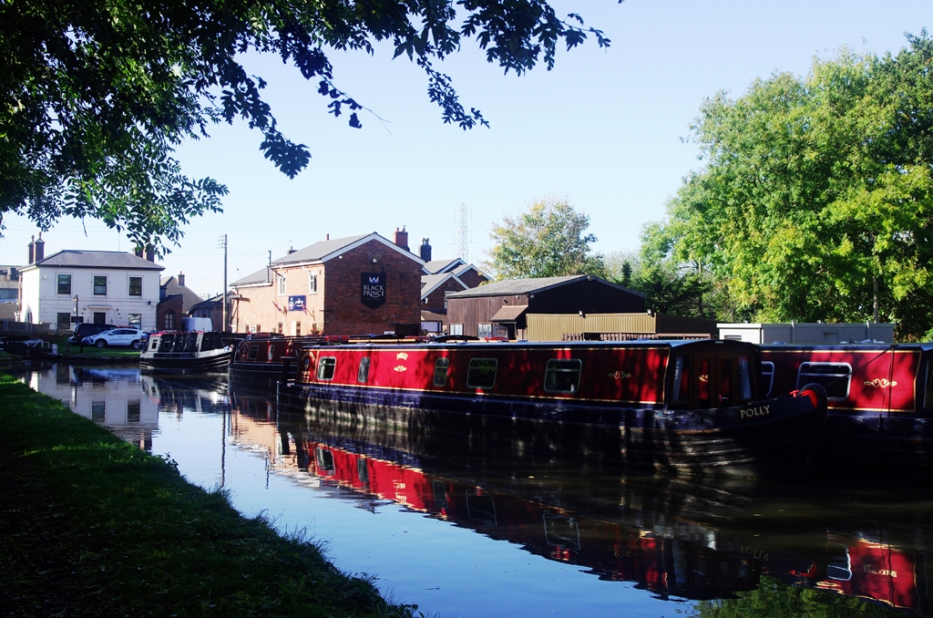
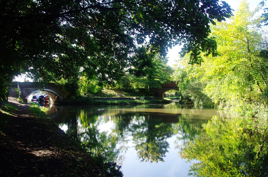
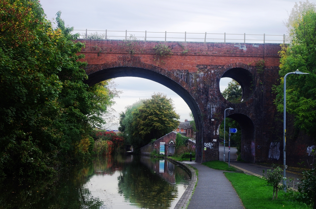
On entering Alvechurch is the bridge carrying the railway to Redditch. There are several canal based works in Alvechurch including ABC’s marina and boat repair workshop.
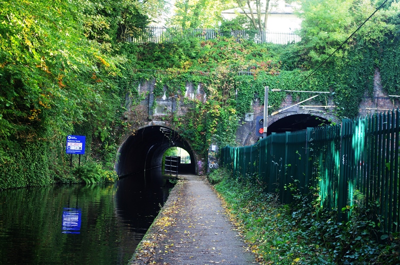
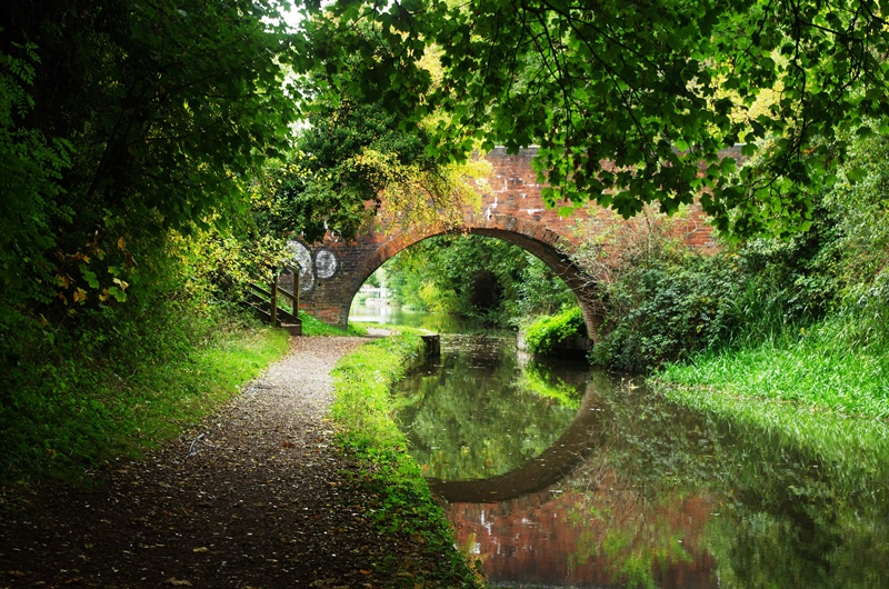
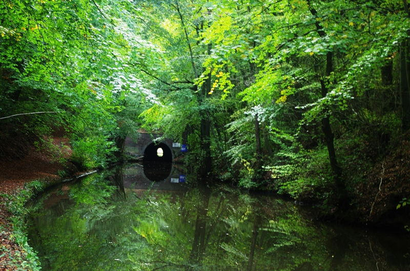
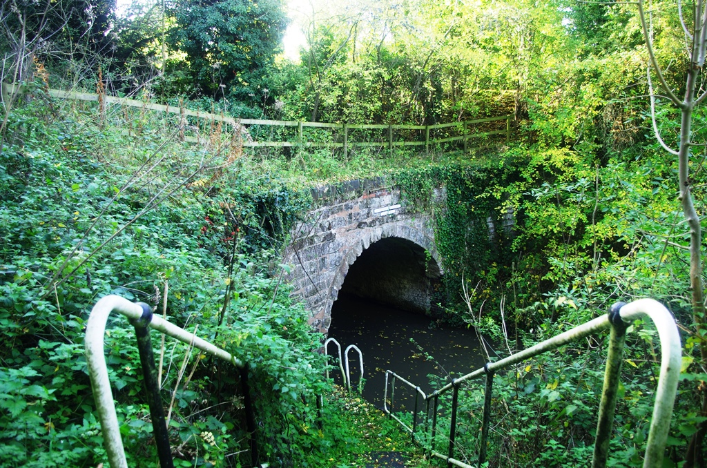
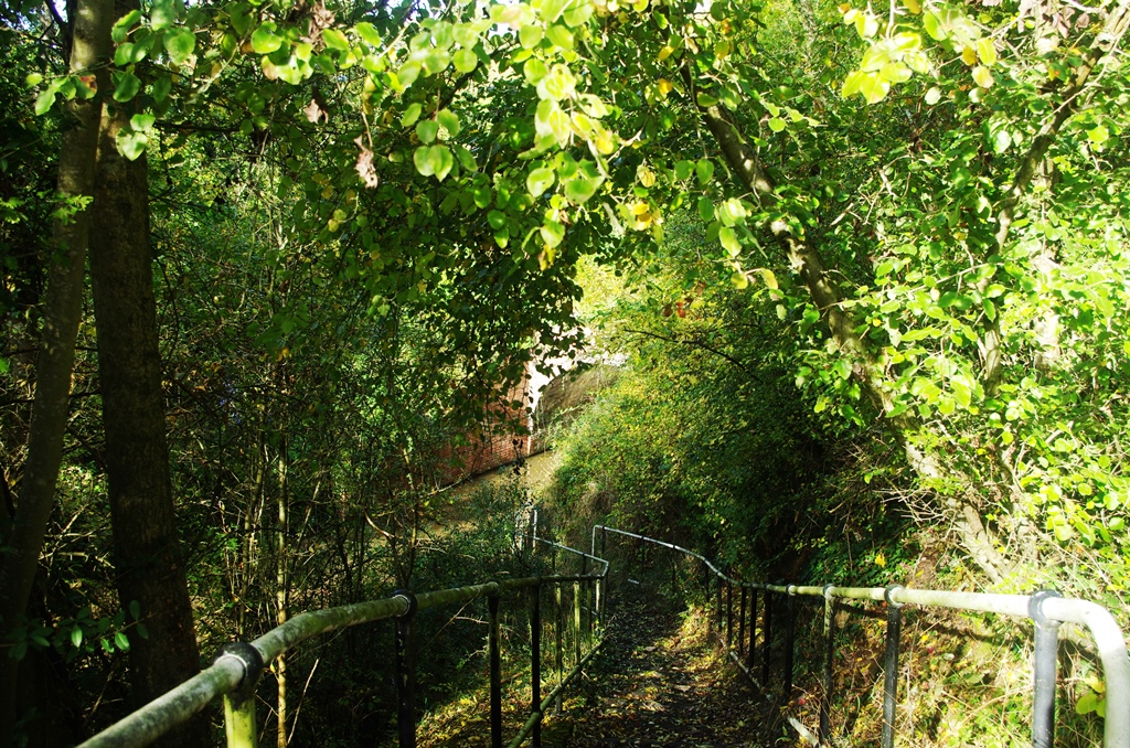
In just under a mile is the short Shortwood Tunnel (613 yards). You can see the other end but the walking route is over the top through some woods and across a field.
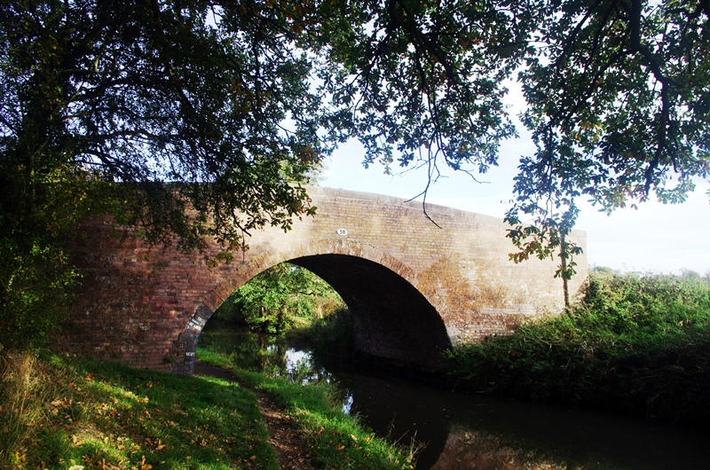
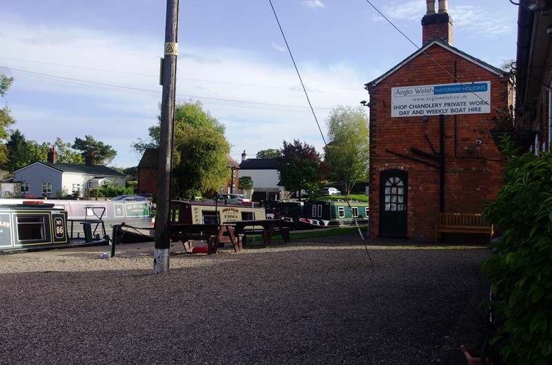
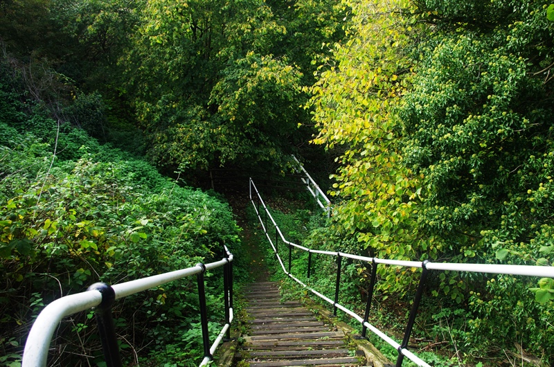
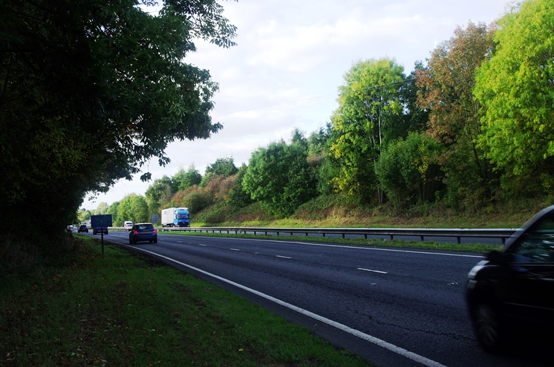
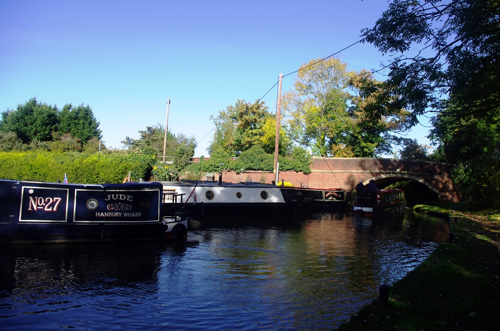
After bridge 58 is the Anglo-Welsh wharf (hire boats) and the path once more goes over the top of Tardebigge Tunnel (580 yards). It’s not possible to see the north portal from the road but there are steps down to it. The walking route follows the road to Hewell Lane (Chataways Tea Room & Shop in 400 metres south) then across a field. Here there are steps down and a risky crossing of the A448 dual carriageway before arriving at Alcester Road to walk down to the south portal and Tardebigge Wharf.
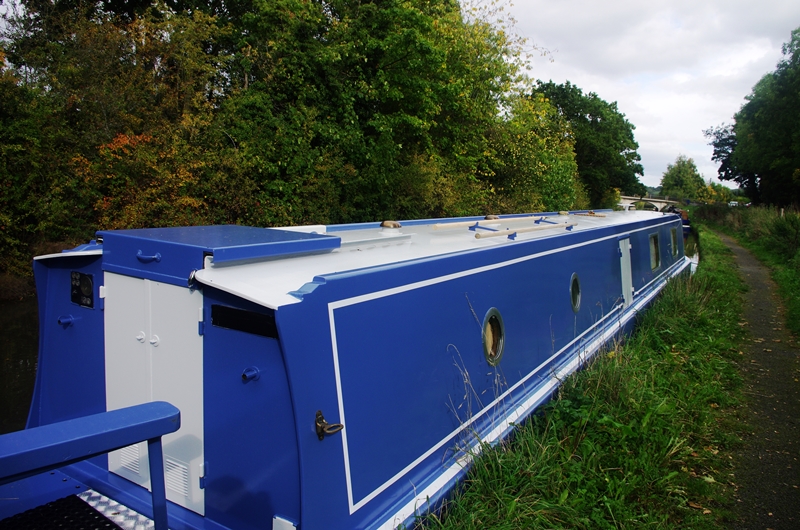
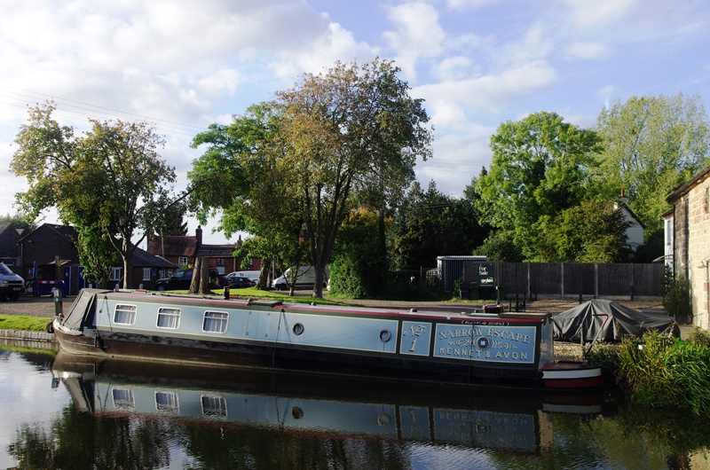
I could have got the bus 52 from Alcester Road into Bromsgrove but I decided to carry on down the flight to shorten the next walk! At the wharf was the narrow boat “Narrow Escape” which we had seen for sale as a hire boat on the Kennet and Avon.
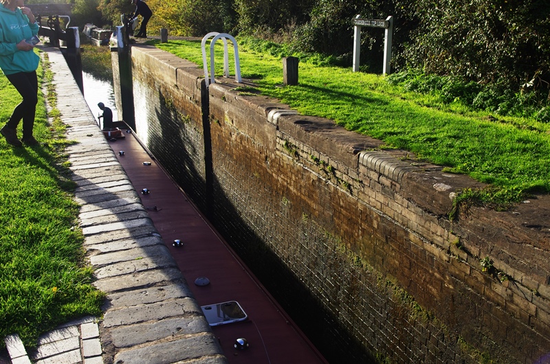
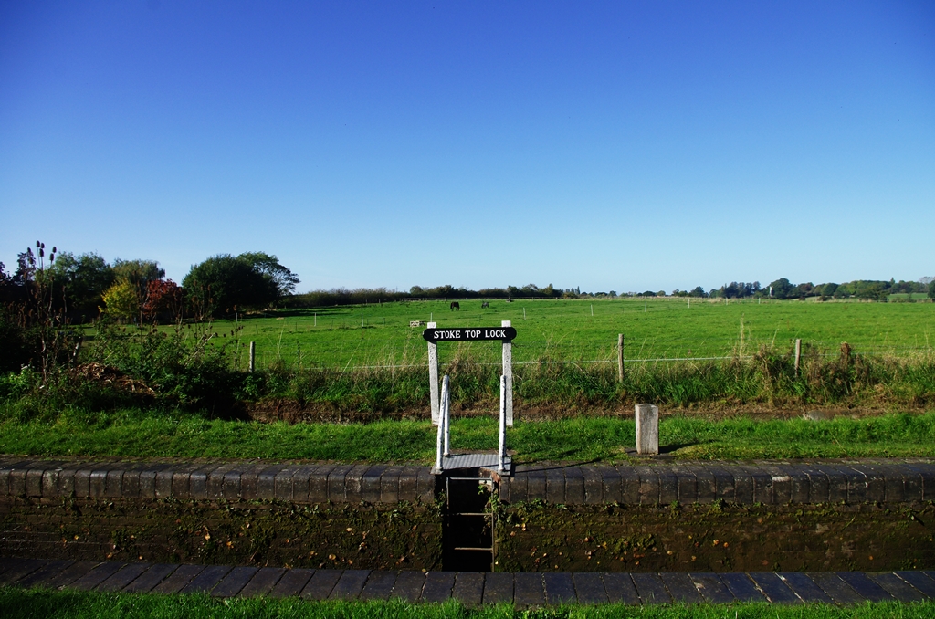
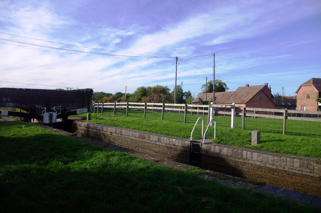
The top lock is 11 feet deep and replaces an earlier boat lift (John Woodhouse 1808). The details of the boat lift can be downloaded here. The Inland Waterways Association was founded here in 1945.
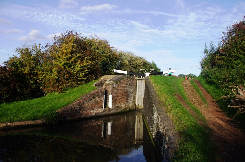
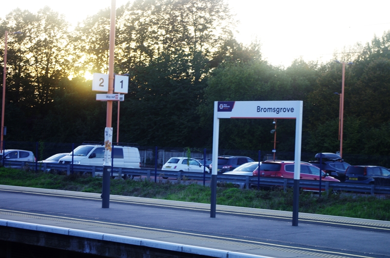
There are 30 locks in total in the flight and a reservoir before bridge 54. I left the canal after 18 locks (at bridge 51) to walk down a lane and across the fields to Bromsgrove Station for a train back to Birmingham.
Photos copyright 2022 John Myerson
Bromsgrove to Worcester – 18 October 2022 (18.25 miles)
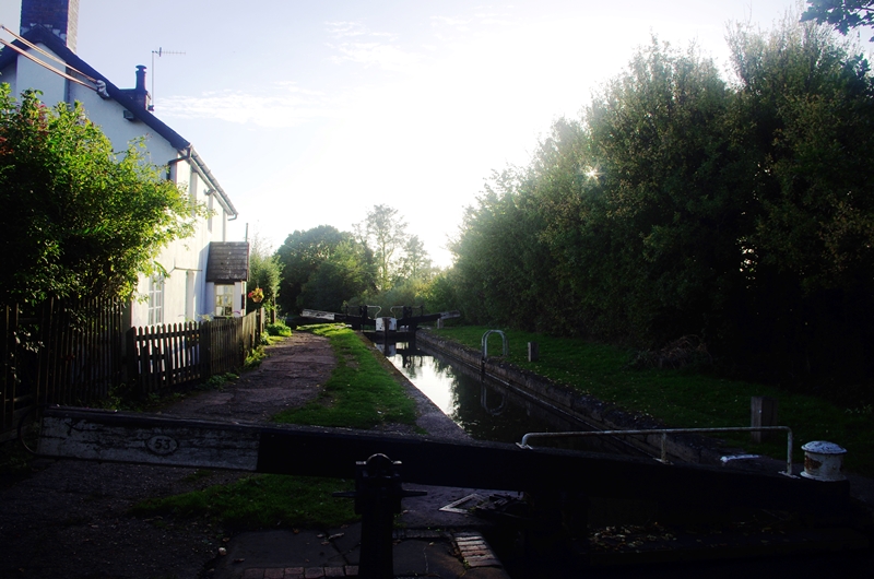
One week later and a lovely autumn day gave an opportunity to finish this canal walk. A train to Bromsgrove and then a short walk to the canal for a start at bridge 51. It was downhill next to the rest of the Tardebigge flight (11 locks).
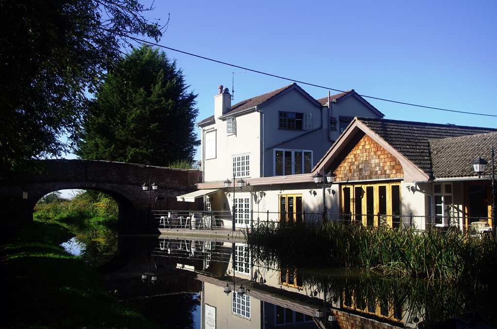
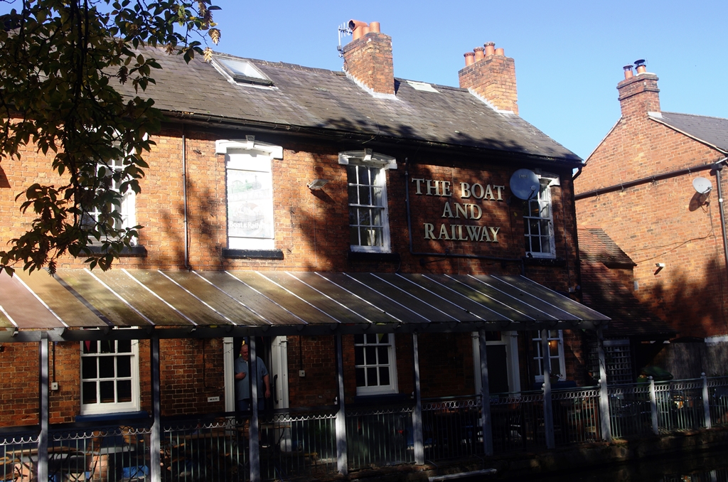
The bottom of the flight was marked by the Queen’s Head pub at Stoke Pound. Another series of six locks took me past Stoke Prior village and wharf. The Boat and Railway Inn is named because it’s between the canal and the railway line.
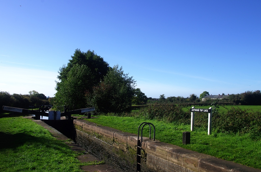
Next there’s the Astwood flight of six more locks.
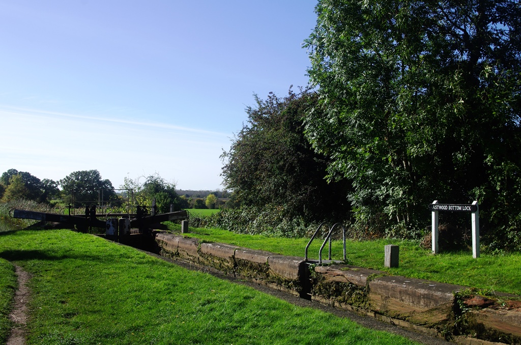
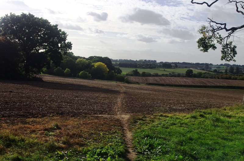
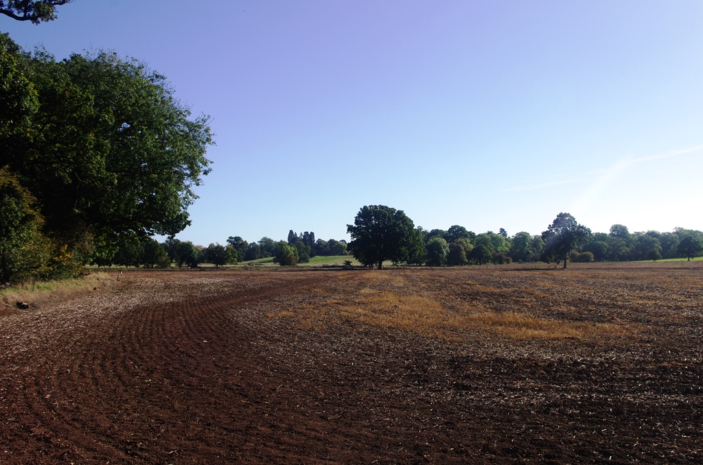
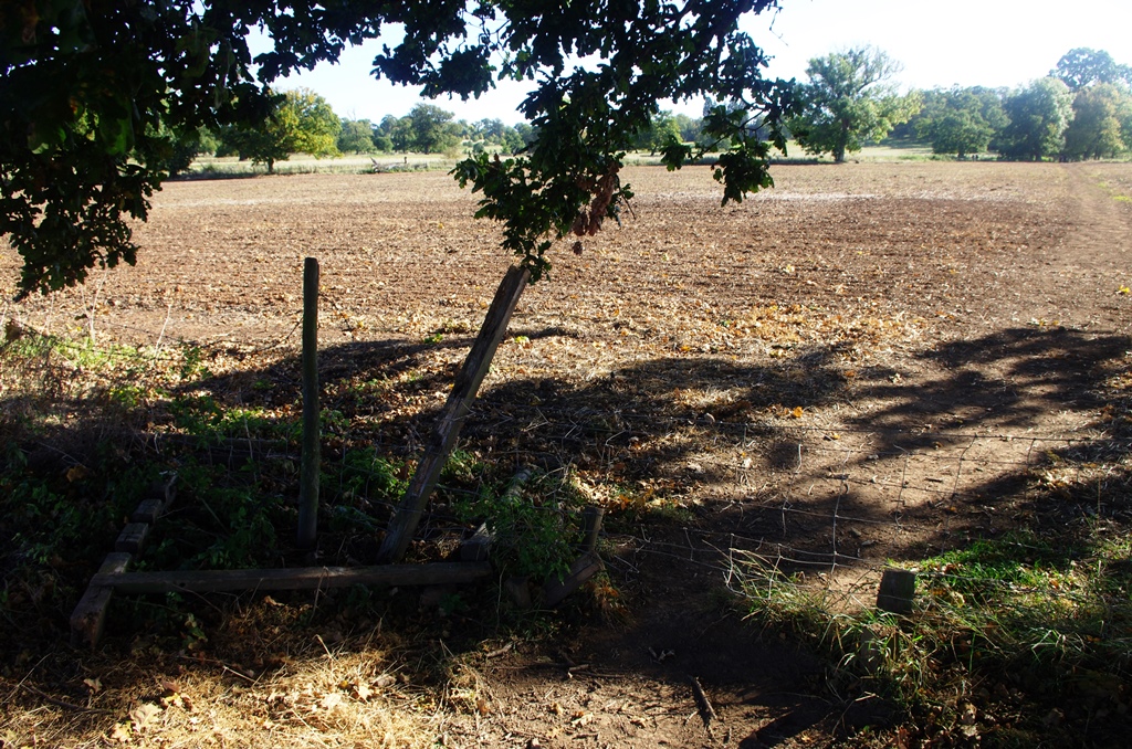
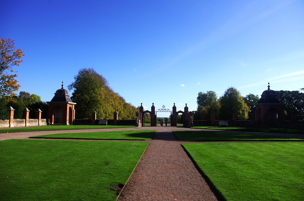
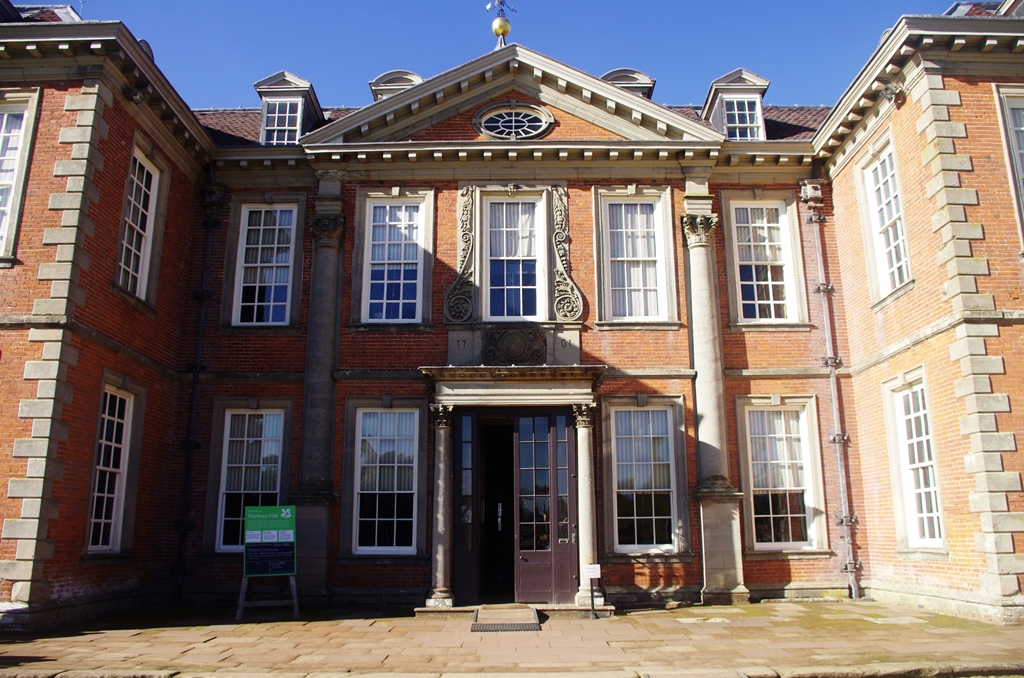
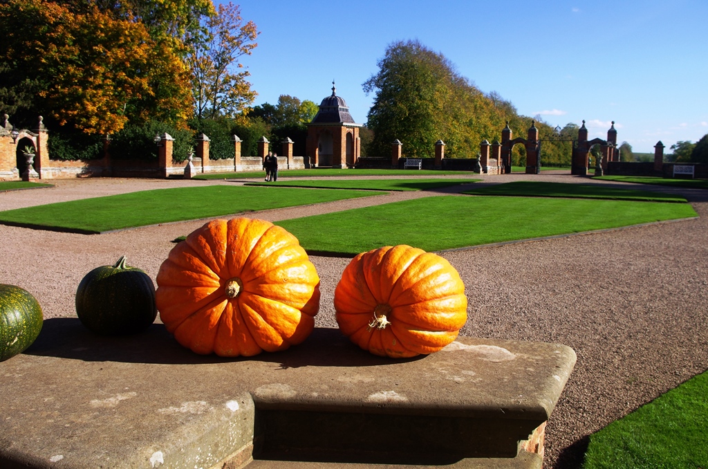
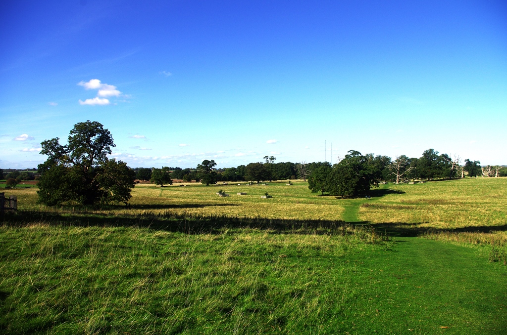
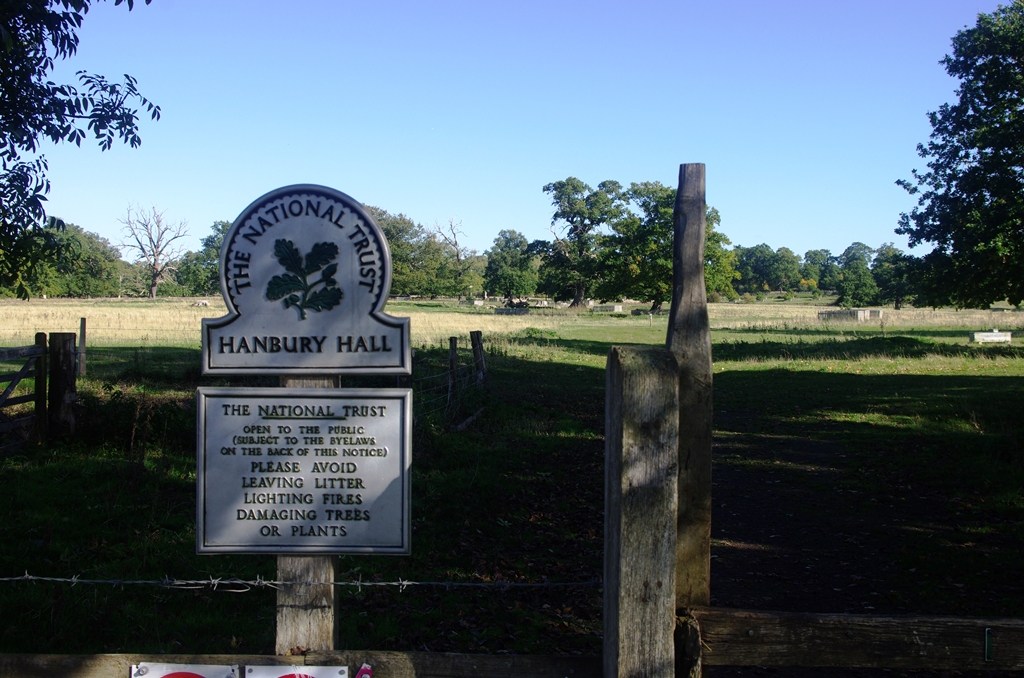
At Astwood bottom lock (number 17) I turned off the towpath onto a footpath leading to Hanbury Hall. This path went across two ploughed fields and involved a climb over a fence because the stile was broken.
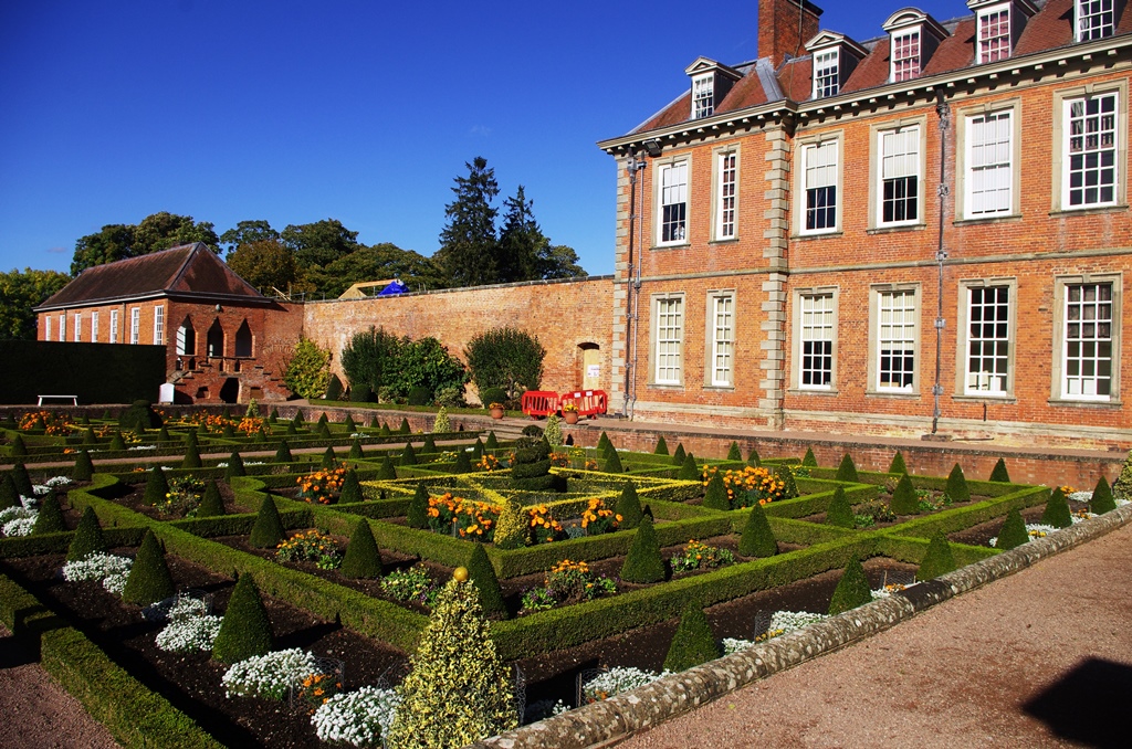
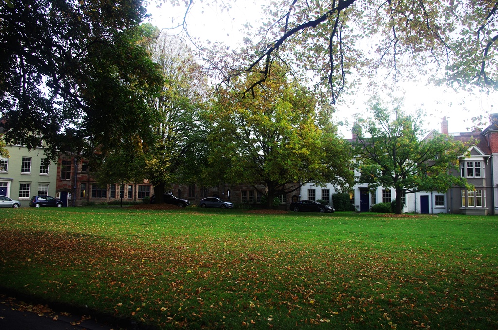
Hanbury Hall is National Trust property. I stopped here for lunch at the Stables Café before having a quick look around the grounds. Work is going on here to extend and improve the cafe. The menu is a little limited at present.
I retraced my steps across the estate for half a mile then turned left along another path back to canal. This path went through Summerhill Farm and over the railway.
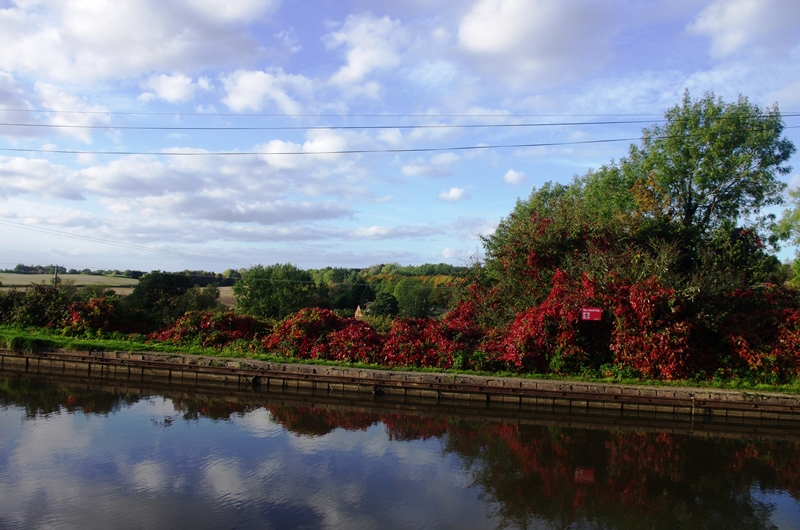
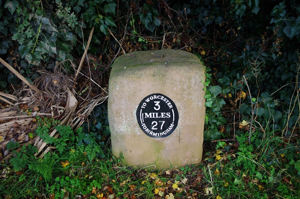
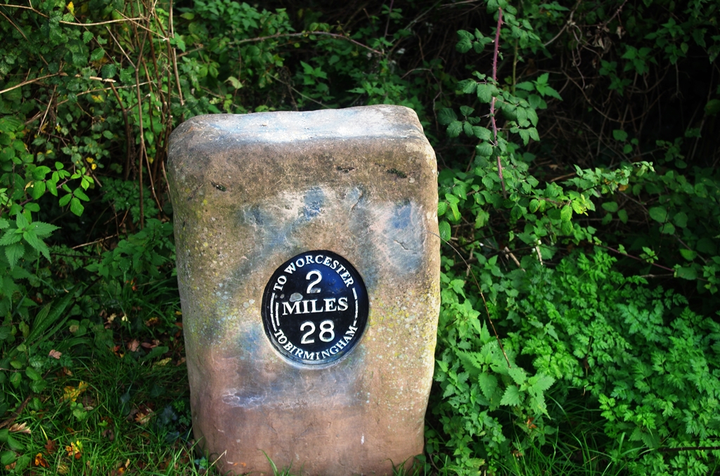
Milestones started appearing here which gave me some idea of when I might reach Worcester. I soon passed Hanbury Junction where the Droitwich Junction Canal (restored in 2011) branches off. Just afterwards is Hanbury Wharf with a large boat sales company.
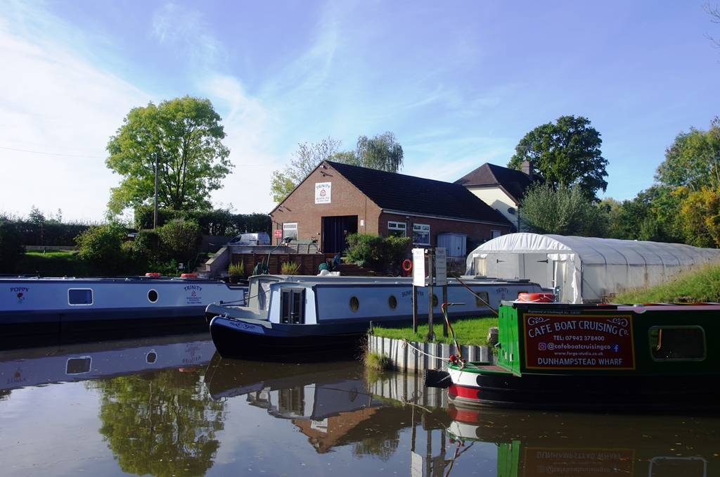
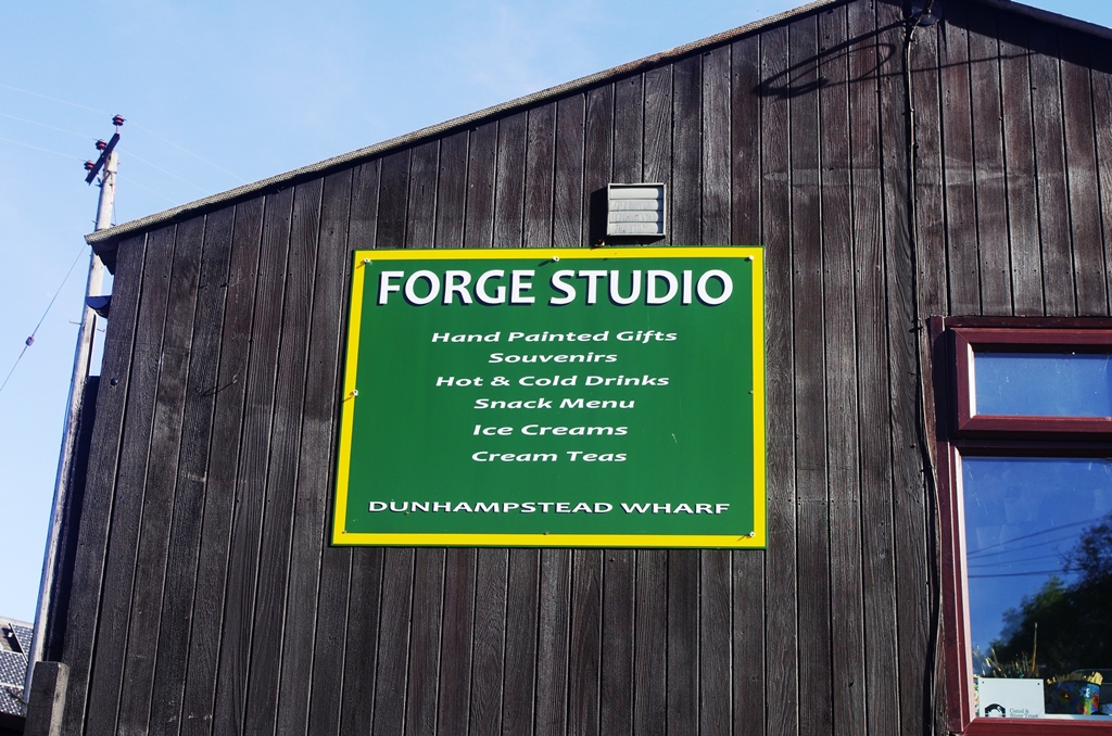
After this there’s a long section without locks and Dunhampstead Tunnel (230 yards). As with previous tunnels, there’s no towpath so a track leads over the top. There’s a wharf after the tunnel and a small café.
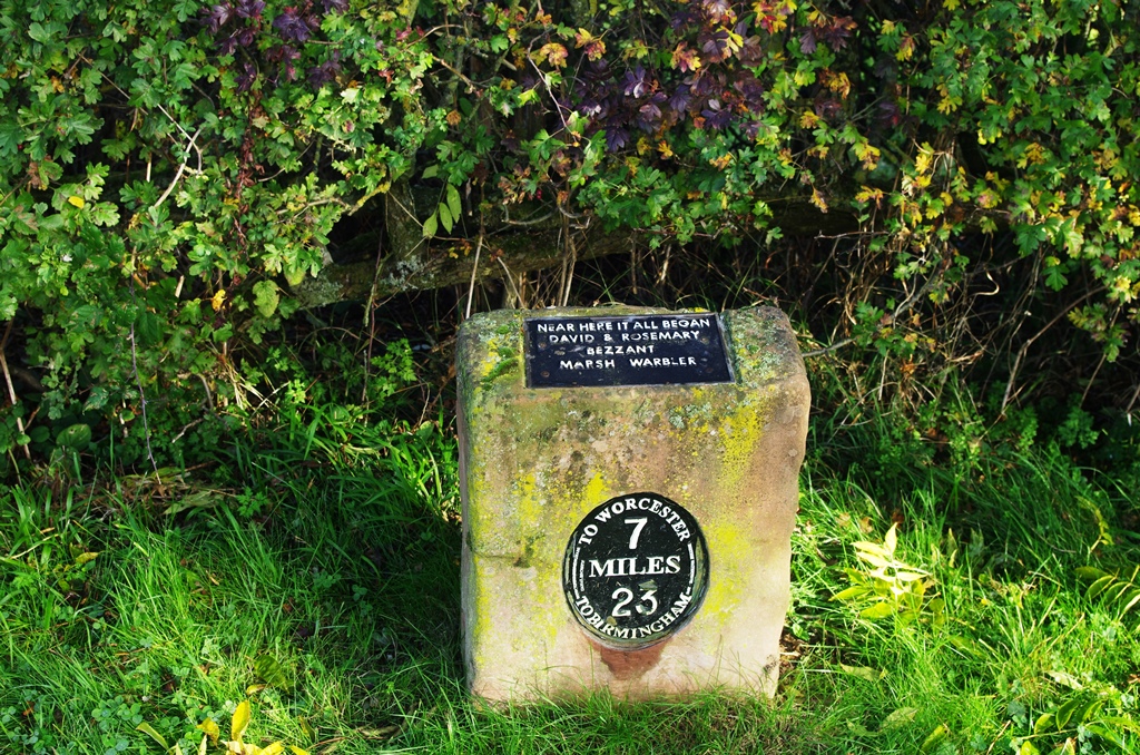
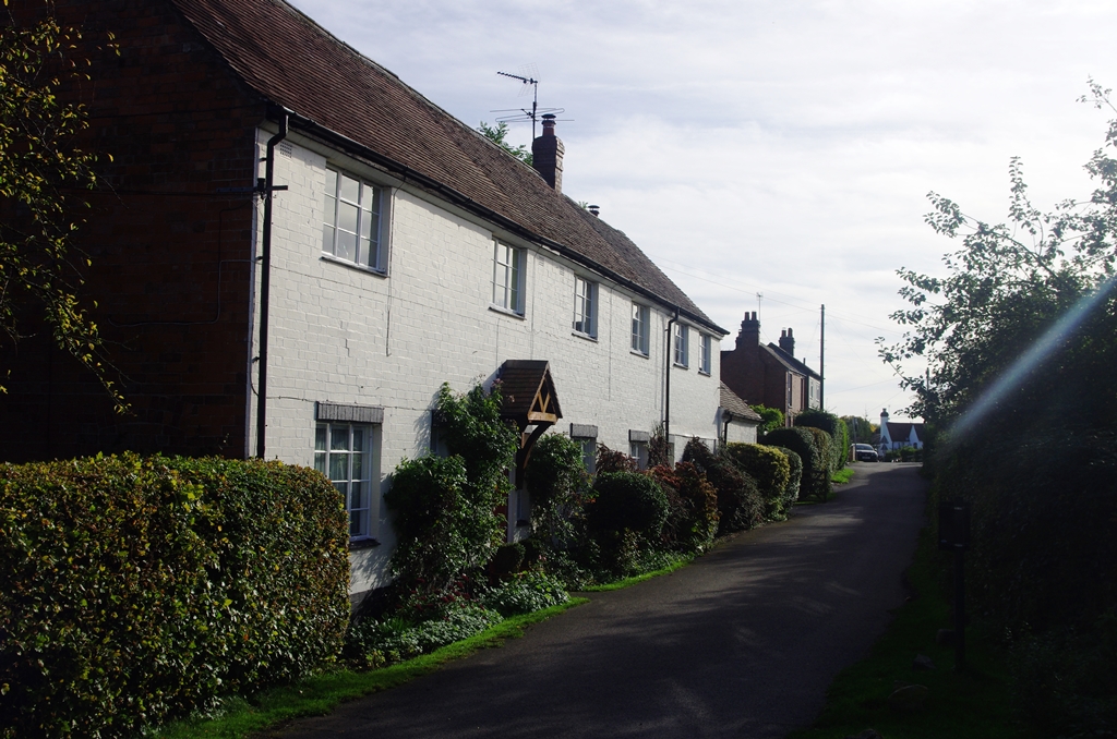
There’s 7 miles to go to Worcester. The small village has some attractive cottages.
Another long lock-free section follows until just after the M5 motorway bridge is the start of the six Offerton Locks.
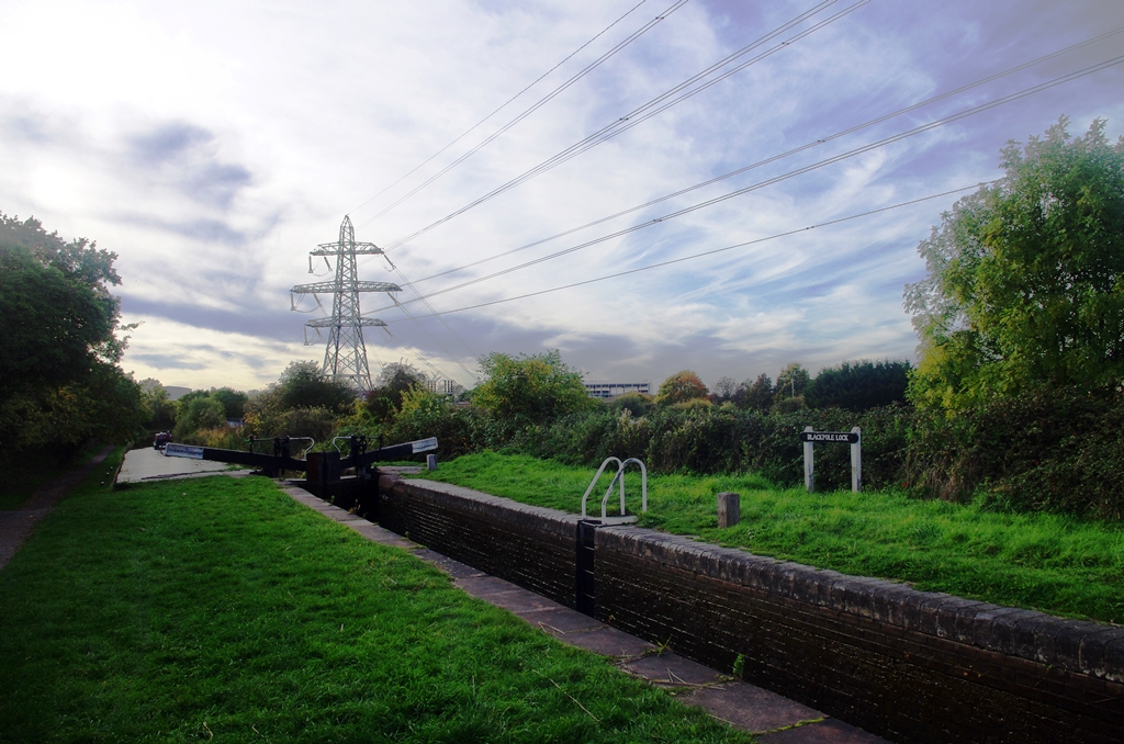
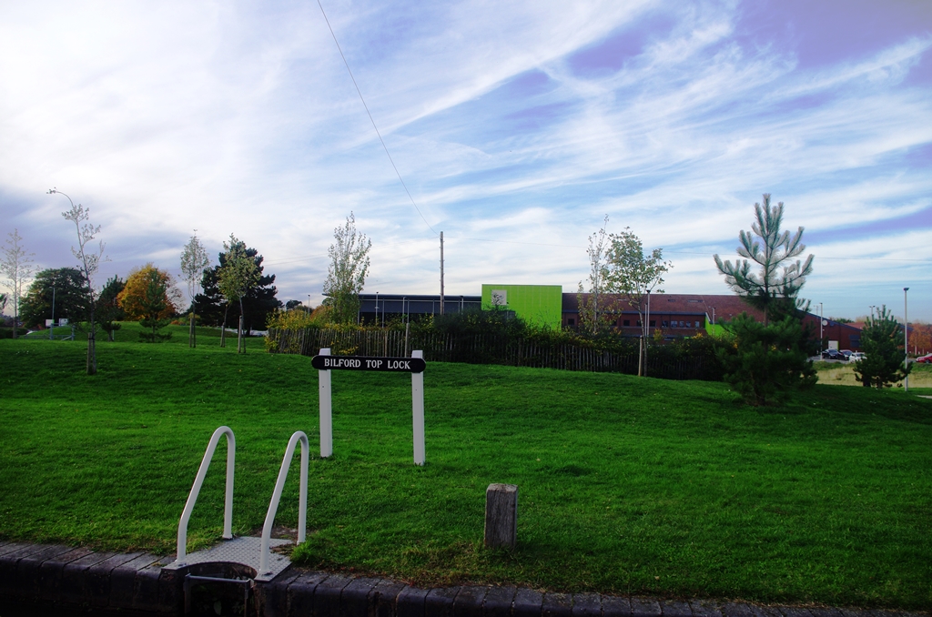
At Blackpole Lock we are definitely in Worcester but it’s still fairly countryfied until Bilford Lock where there’s a Sports Centre.
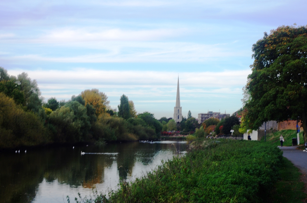
Soon afterwards at Gregory’s Mill, the towpath switches sides and at the 1 mile marker is a view of St. Andrews’ spire commonly called Glover’s Needle.
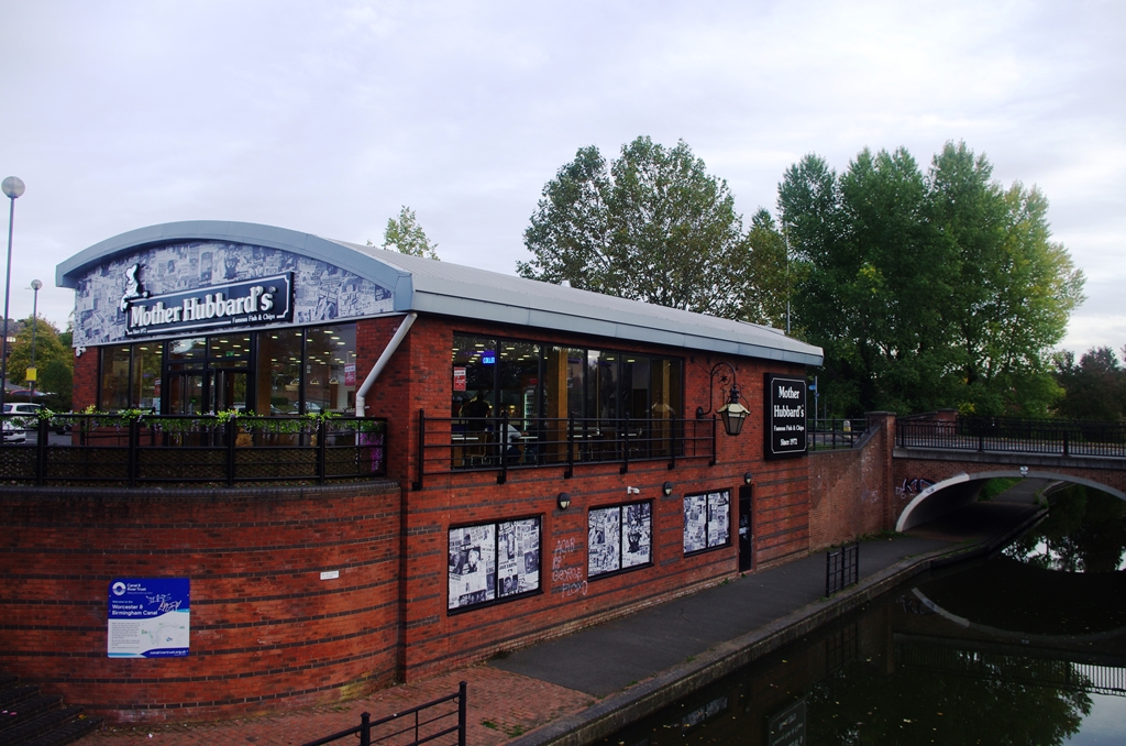
After the railway bridge, which links the two Worcester stations, is the short Lowesmoor Basin. The towpath returns to the left bank at Mother Hubbard’s fish and chip restaurant.
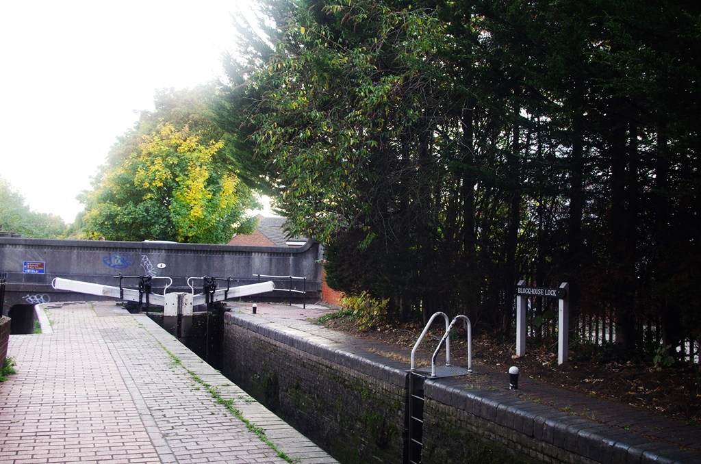
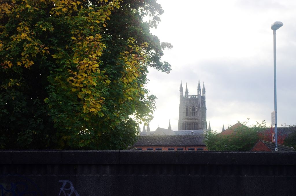
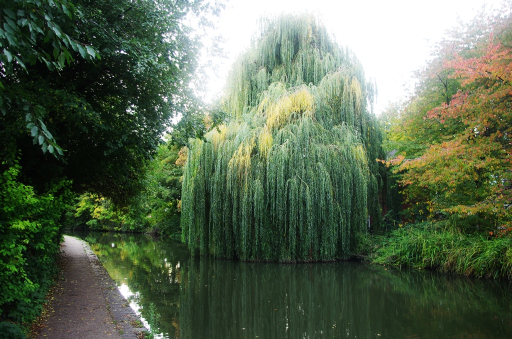
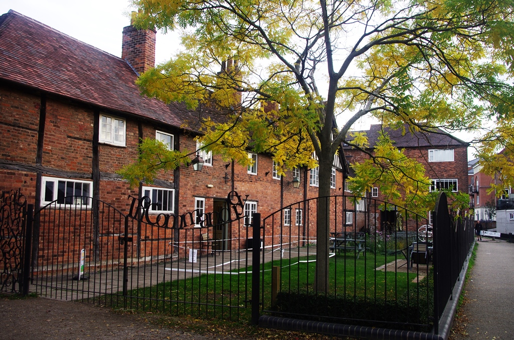
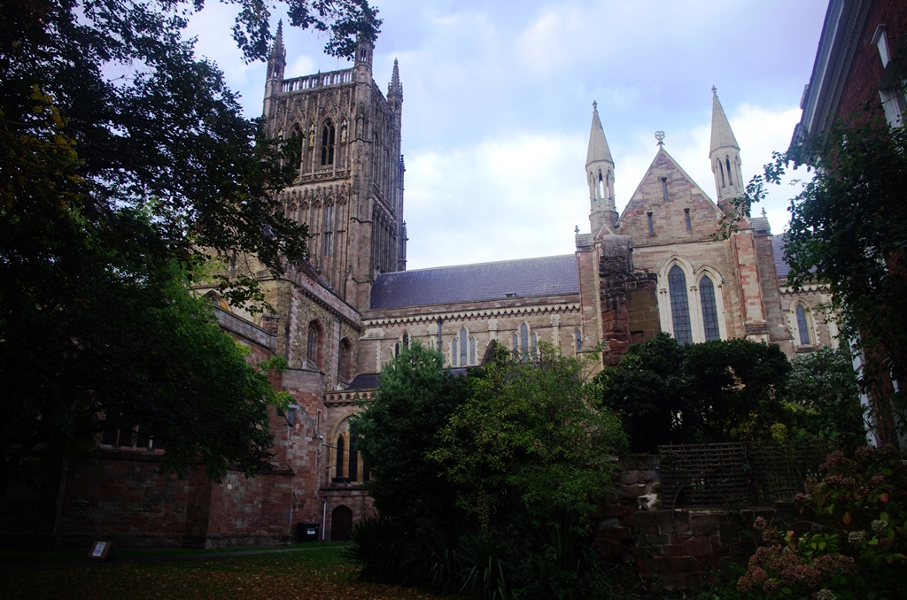
Two more locks follow (Blockhouse and Sidbury) with a view of the Cathedral. A large willow tree is followed by the building called the Commandery.
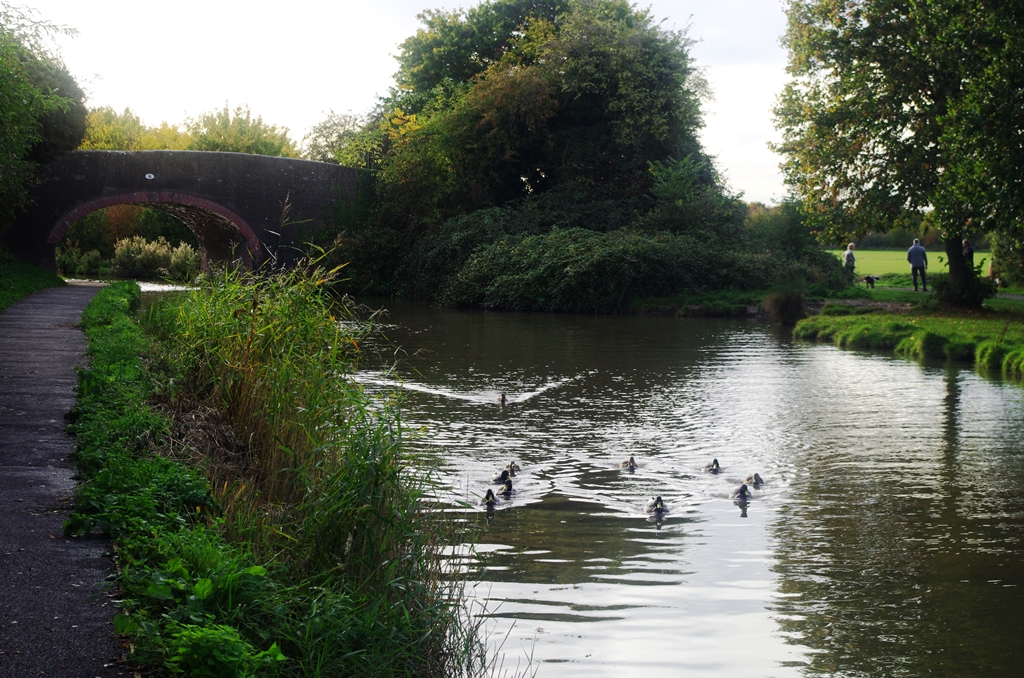
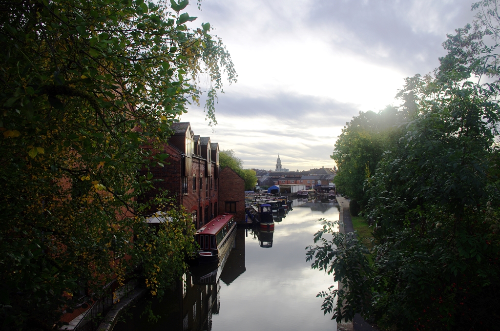
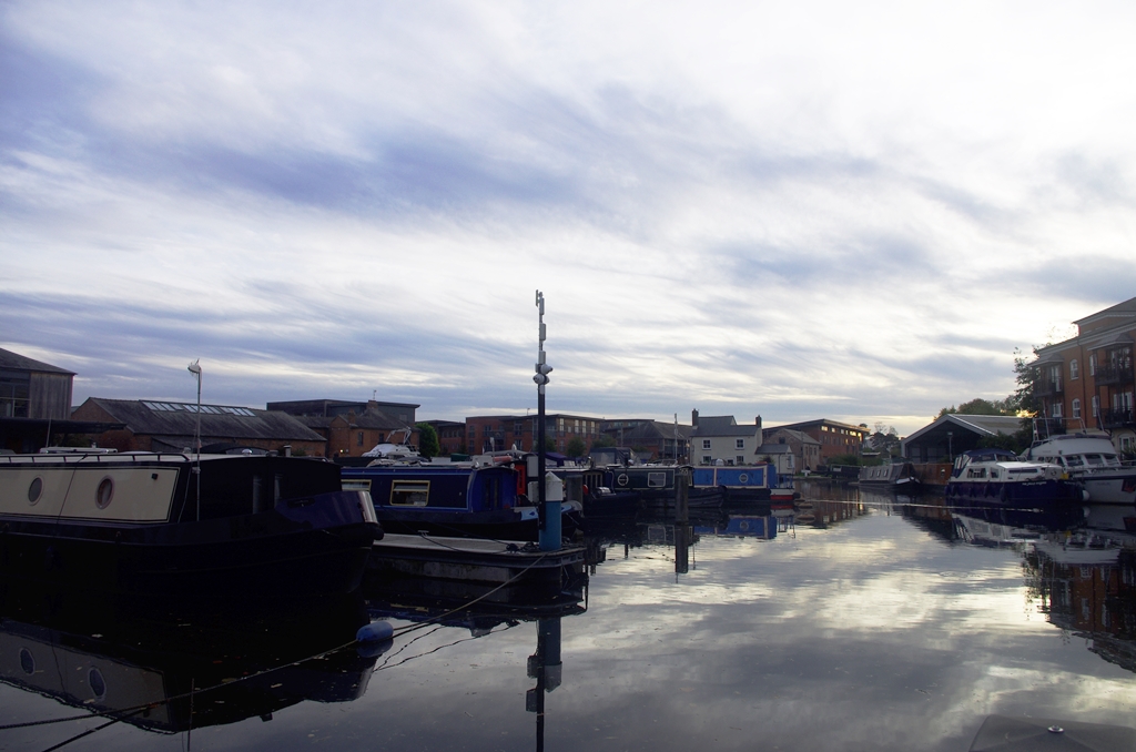
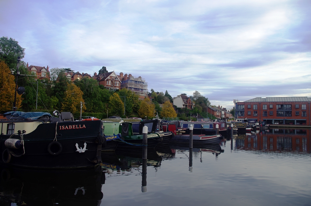
Soon is Diglis Basin, marking the end of the canal and its junction with the River Severn. Swing bridges give pedestrian access.
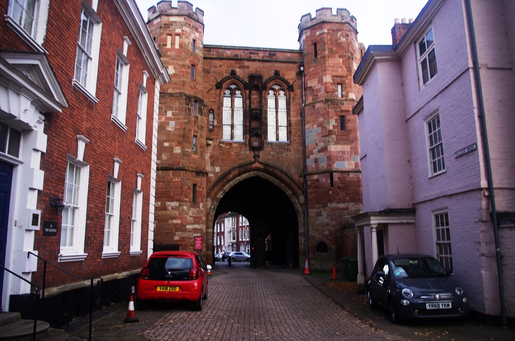
This was really the end of the walk along the canal except I had to get to the station, so I walked along the bank of the Severn then through the Cathedral Close to the High Street.
Photos copyright 2022 John Myerson
